
 Staden
Geest-Gerompont-Petit-Rosière
Grote Hut
Sint-Job-in-'t-Goor
Deidenberg
De Pinte
Pussemange
Peruwelz
Barrière de Champlon
Staden
Geest-Gerompont-Petit-Rosière
Grote Hut
Sint-Job-in-'t-Goor
Deidenberg
De Pinte
Pussemange
Peruwelz
Barrière de Champlon
Parc van der Straten on the map, Marche-en-Famenne, Belgium
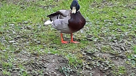
Photo
Where is located Parc van der Straten
Parc van der Straten — local attraction, which is located at Bd du Midi, 6900 Marche-en-Famenne, Belgium and belongs to the category — park. Average visitor rating for this place — 4.4 (according to 52 ratings, information from open sources and relevant for 2022).
Exact location — Parc van der Straten, marked on the map with a red marker.
You can get directions to Parc van der Straten on the map from your location.
What else is interesting in Marche-en-Famenne? You can see all the sights if you go to the city page.
Coordinates
Parc van der Straten, Belgium coordinates in decimal format: latitude — 50.22526229146886, longitude — 5.34085752527267. When converted to degrees, minutes, seconds Parc van der Straten has the following coordinates: 50°13′30.94 north latitude and 5°20′27.09 east longitude.
Nearby cities
The largest cities that are located nearby:
- Namur — 42 km
- Liège — 48 km
- Charleroi — 67 km
- Maastricht
 (Netherlands) — 73 km
 - Aachen
 (Germany) — 80 km
 - Trier (Germany) — 106 km
- Antwerp — 128 km
- Mönchengladbach (Germany) — 130 km
- Eindhoven (Netherlands) — 134 km
- Bonn (Germany) — 135 km
- Metz
 (France) — 137 km
 - Cologne (Germany) — 137 km
- Neuss (Germany) — 143 km
- Reims (France) — 143 km
- Tilburg (Netherlands) — 148 km
- Düsseldorf (Germany) — 148 km
- Krefeld (Germany) — 150 km
- Bergisch Gladbach (Germany) — 150 km
- Breda (Netherlands) — 155 km
Distance to the capital
Distance to the capital (Brussels) is about — 99 km.