
 Staden
Geest-Gerompont-Petit-Rosière
Grote Hut
Sint-Job-in-'t-Goor
Deidenberg
De Pinte
Pussemange
Peruwelz
Barrière de Champlon
Staden
Geest-Gerompont-Petit-Rosière
Grote Hut
Sint-Job-in-'t-Goor
Deidenberg
De Pinte
Pussemange
Peruwelz
Barrière de Champlon
Malagne - Archéoparc de Rochefort on the map, Rochefort, Belgium
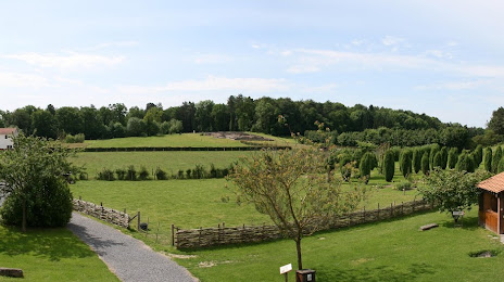
Photo
Where is located Malagne - Archéoparc de Rochefort
Malagne - Archéoparc de Rochefort — local attraction, which is located at Rue du Coirbois 85 , 5580 Rochefort, Belgium and belongs to the category — tourist attraction. Average visitor rating for this place — 4.2 (according to 220 ratings, information from open sources and relevant for 2022).
Exact location — Malagne - Archéoparc de Rochefort, marked on the map with a red marker.
You can get directions to Malagne - Archéoparc de Rochefort on the map from your location.
What else is interesting in Rochefort? You can see all the sights if you go to the city page.
Coordinates
Malagne - Archéoparc de Rochefort, Belgium coordinates in decimal format: latitude — 50.16367345159218, longitude — 5.240504625270465. When converted to degrees, minutes, seconds Malagne - Archéoparc de Rochefort has the following coordinates: 50°9′49.22 north latitude and 5°14′25.82 east longitude.
Nearby cities
The largest cities that are located nearby:
- Namur — 42 km
- Liège — 58 km
- Charleroi — 61 km
- Maastricht
 (Netherlands) — 83 km
 - Aachen
 (Germany) — 91 km
 - Trier (Germany) — 111 km
- Antwerp — 130 km
- Reims
 (France) — 132 km
 - Metz (France) — 134 km
- Mönchengladbach (Germany) — 141 km
- Eindhoven (Netherlands) — 143 km
- Bonn (Germany) — 146 km
- Cologne (Germany) — 149 km
- Neuss (Germany) — 154 km
- Tilburg (Netherlands) — 155 km
- Düsseldorf (Germany) — 160 km
- Breda (Netherlands) — 160 km
- Lille (France) — 160 km
- Krefeld (Germany) — 161 km
Distance to the capital
Distance to the capital (Brussels) is about — 99 km.