
 Staden
Geest-Gerompont-Petit-Rosière
Grote Hut
Sint-Job-in-'t-Goor
Deidenberg
De Pinte
Pussemange
Peruwelz
Barrière de Champlon
Staden
Geest-Gerompont-Petit-Rosière
Grote Hut
Sint-Job-in-'t-Goor
Deidenberg
De Pinte
Pussemange
Peruwelz
Barrière de Champlon
Jehay-Bodegnée Castle on the map, Amay, Belgium
Photo
Where is located Jehay-Bodegnée Castle
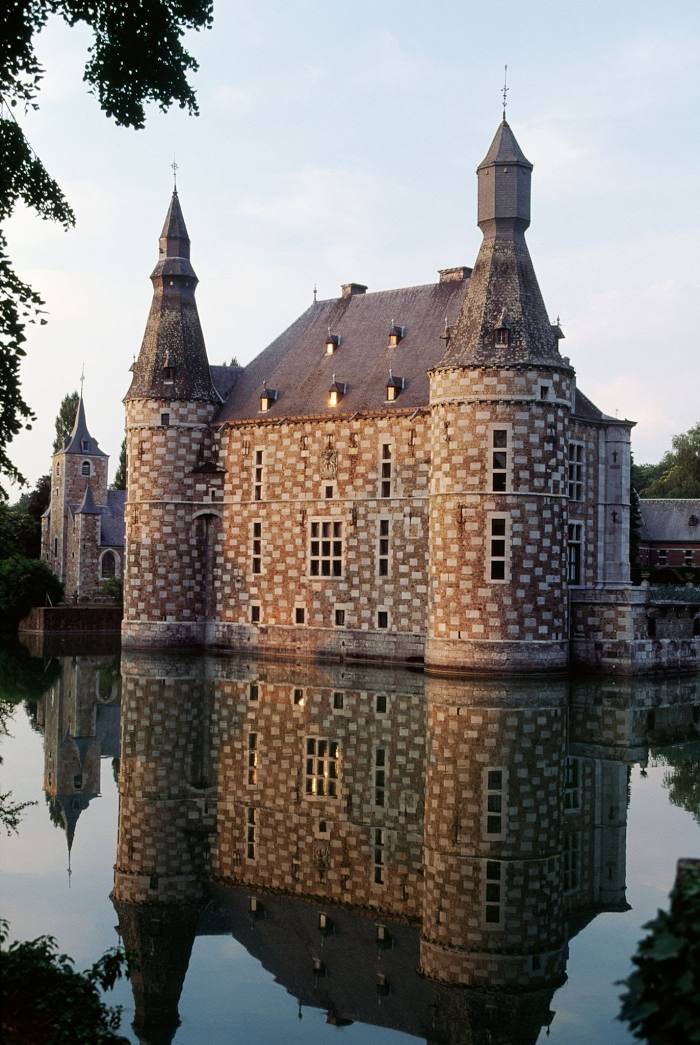
Jehay-Bodegnée Castle — local attraction, which is located at Rue du Parc 1, 4540 Amay, Belgium and belongs to the category — castle. Average visitor rating for this place — 4.3 (according to 789 ratings, information from open sources and relevant for 2022).
Exact location — Jehay-Bodegnée Castle, marked on the map with a red marker.
You can get directions to Jehay-Bodegnée Castle on the map from your location.
What else is interesting in Amay? You can see all the sights if you go to the city page.
Coordinates
Jehay-Bodegnée Castle, Belgium coordinates in decimal format: latitude — 50.57726522006432, longitude — 5.323176425285408. When converted to degrees, minutes, seconds Jehay-Bodegnée Castle has the following coordinates: 50°34′38.15 north latitude and 5°19′23.44 east longitude.
Nearby cities
The largest cities that are located nearby:
- Liège — 21 km
- Namur — 32 km
- Maastricht
 (Netherlands) — 43 km
 - Aachen
 (Germany) — 60 km
 - Charleroi — 63 km
- Antwerp — 97 km
- Eindhoven (Netherlands) — 99 km
- Mönchengladbach (Germany) — 105 km
- Tilburg (Netherlands) — 113 km
- Neuss (Germany) — 120 km
- Breda (Netherlands) — 120 km
- Cologne (Germany) — 123 km
- Krefeld (Germany) — 124 km
- Düsseldorf (Germany) — 126 km
- Bonn (Germany) — 127 km
- 's-Hertogenbosch (Netherlands) — 127 km
- Trier (Germany) — 130 km
- Moers (Germany) — 136 km
- Bergisch Gladbach (Germany) — 136 km
Distance to the capital
Distance to the capital (Brussels) is about — 75 km.