 Betteshanger
Lynton
Amesbury
Marlow
Burford
Chipping Norton
Marlborough
Cairnryan
Lydney
Betteshanger
Lynton
Amesbury
Marlow
Burford
Chipping Norton
Marlborough
Cairnryan
Lydney
Avenham and Miller Park on the map, Preston, United Kingdom
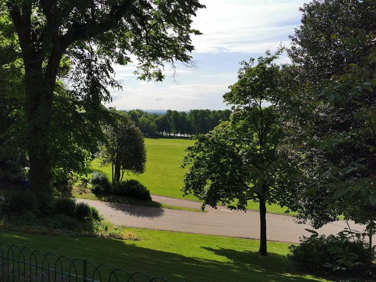
Photo
Where is located Avenham and Miller Park
Avenham and Miller Park — local attraction, which is located at S Meadow Ln, Preston PR1 8JP, United Kingdom and belongs to the category — park. Average visitor rating for this place — 4.7 (according to 1772 ratings, information from open sources and relevant for 2022).
Exact location — Avenham and Miller Park, marked on the map with a red marker.
You can get directions to Avenham and Miller Park on the map from your location.
What else is interesting in Preston? You can see all the sights if you go to the city page.
Coordinates
Avenham and Miller Park, United Kingdom coordinates in decimal format: latitude — 53.75189213307279, longitude — -2.7040189745968073. When converted to degrees, minutes, seconds Avenham and Miller Park has the following coordinates: 53°45′6.81 north latitude and -2°42′14.47 east longitude.
Nearby cities
The largest cities that are located nearby:
- Blackburn — 14 km
- Manchester — 44 km
- Liverpool — 44 km
- Huddersfield — 62 km
- Stoke-on-Trent — 91 km
- Sheffield — 92 km
- Rotherham — 96 km
- Telford — 121 km
- Dudley — 144 km
- Sutton Coldfield — 145 km
- West Bromwich — 146 km
- Birmingham — 151 km
- Sunderland — 152 km
- Leicester — 163 km
- Coventry — 170 km
- Worcester — 177 km
- Northampton — 208 km
- Cheltenham — 210 km
- Belfast — 226 km
Distance to the capital
Distance to the capital (London) is about — 304 km.