 Betteshanger
Lynton
Amesbury
Marlow
Burford
Chipping Norton
Marlborough
Cairnryan
Lydney
Betteshanger
Lynton
Amesbury
Marlow
Burford
Chipping Norton
Marlborough
Cairnryan
Lydney
Breney Common on the map, Bodmin, United Kingdom
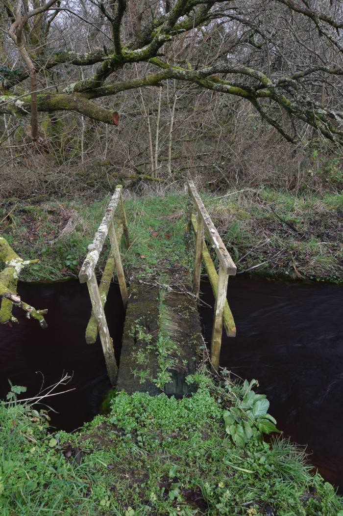
Photo
Where is located Breney Common
Breney Common — local attraction, which is located at Luxulyan, Bodmin PL30 5DU, United Kingdom and belongs to the category — nature preserve. Average visitor rating for this place — 4.7 (according to 21 rating, information from open sources and relevant for 2022).
Exact location — Breney Common, marked on the map with a red marker.
You can get directions to Breney Common on the map from your location.
What else is interesting in Bodmin? You can see all the sights if you go to the city page.
Coordinates
Breney Common, United Kingdom coordinates in decimal format: latitude — 50.416965497636895, longitude — -4.74129017481498. When converted to degrees, minutes, seconds Breney Common has the following coordinates: 50°25′1.08 north latitude and -4°44′28.64 east longitude.
Nearby cities
The largest cities that are located nearby:
- Exeter — 87 km
- Bristol — 183 km
- Bournemouth — 201 km
- Brest
 (France) — 231 km
 - Swindon — 235 km
- Southampton — 236 km
- Cheltenham — 240 km
- Worcester — 255 km
- Portsmouth — 257 km
- Oxford — 276 km
- Reading — 280 km
- Dudley — 287 km
- Telford — 288 km
- West Bromwich — 291 km
- Birmingham — 293 km
- Cork
 (Ireland) — 302 km
 - Sutton Coldfield — 303 km
- Coventry — 304 km
- Slough — 306 km
Distance to the capital
Distance to the capital (London) is about — 345 km.