 Betteshanger
Lynton
Amesbury
Marlow
Burford
Chipping Norton
Marlborough
Cairnryan
Lydney
Betteshanger
Lynton
Amesbury
Marlow
Burford
Chipping Norton
Marlborough
Cairnryan
Lydney
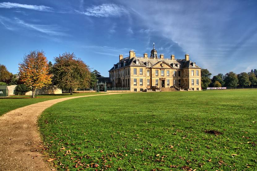
National Trust - Belton House on the map, Grantham, United Kingdom
Photo
Where is located National Trust - Belton House
National Trust - Belton House — local attraction, which is located at High Rd, Belton, Grantham NG32 2LW, United Kingdom and belongs to the category — $$. Average visitor rating for this place — 4.7 (according to 5211 ratings, information from open sources and relevant for 2022).
Exact location — National Trust - Belton House, marked on the map with a red marker.
You can get directions to National Trust - Belton House on the map from your location.
What else is interesting in Grantham? You can see all the sights if you go to the city page.
Coordinates
National Trust - Belton House, United Kingdom coordinates in decimal format: latitude — 52.94277613166326, longitude — -0.6208114024937788. When converted to degrees, minutes, seconds National Trust - Belton House has the following coordinates: 52°56′33.99 north latitude and -0°37′14.92 east longitude.
Nearby cities
The largest cities that are located nearby:
- Leicester — 45 km
- Rotherham — 75 km
- Sheffield — 75 km
- Northampton — 76 km
- Coventry — 81 km
- Sutton Coldfield — 88 km
- Cambridge — 94 km
- Birmingham — 96 km
- West Bromwich — 101 km
- Stoke-on-Trent — 103 km
- Dudley — 106 km
- Huddersfield — 110 km
- Luton — 115 km
- Manchester — 123 km
- Telford — 124 km
- Worcester — 133 km
- Norwich — 134 km
- Oxford — 135 km
- Watford — 140 km
Distance to the capital
Distance to the capital (London) is about — 163 km.