 Betteshanger
Lynton
Amesbury
Marlow
Burford
Chipping Norton
Marlborough
Cairnryan
Lydney
Betteshanger
Lynton
Amesbury
Marlow
Burford
Chipping Norton
Marlborough
Cairnryan
Lydney
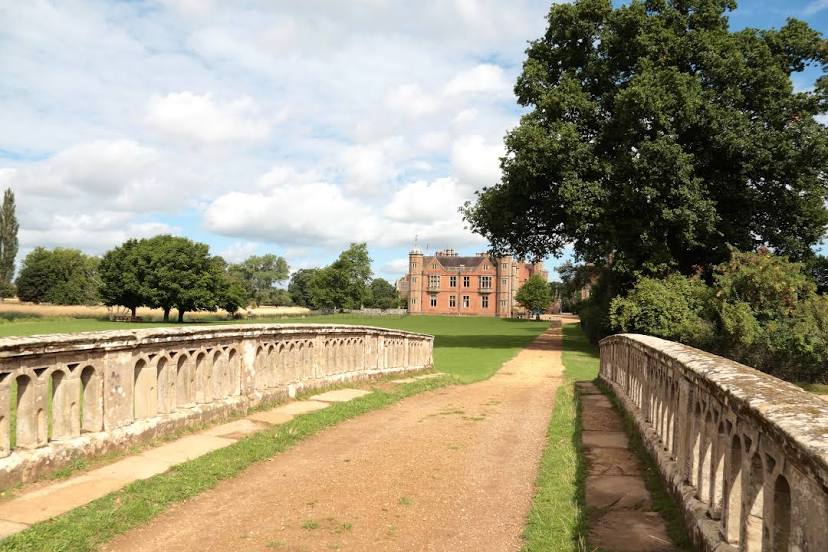
National Trust - Charlecote Park on the map, Warwick, United Kingdom
Photo
Where is located National Trust - Charlecote Park
National Trust - Charlecote Park — local attraction, which is located at Wellesbourne, Warwick CV35 9ER, United Kingdom and belongs to the category — $$. Average visitor rating for this place — 4.6 (according to 3252 ratings, information from open sources and relevant for 2022).
Exact location — National Trust - Charlecote Park, marked on the map with a red marker.
You can get directions to National Trust - Charlecote Park on the map from your location.
What else is interesting in Warwick? You can see all the sights if you go to the city page.
Coordinates
National Trust - Charlecote Park, United Kingdom coordinates in decimal format: latitude — 52.20492789204048, longitude — -1.6222436746548274. When converted to degrees, minutes, seconds National Trust - Charlecote Park has the following coordinates: 52°12′17.74 north latitude and -1°37′20.08 east longitude.
Nearby cities
The largest cities that are located nearby:
- Coventry — 14 km
- Birmingham — 31 km
- Sutton Coldfield — 36 km
- West Bromwich — 38 km
- Dudley — 42 km
- Worcester — 44 km
- Northampton — 46 km
- Leicester — 49 km
- Cheltenham — 54 km
- Oxford — 63 km
- Telford — 72 km
- Swindon — 81 km
- Stoke-on-Trent — 89 km
- Luton — 91 km
- Reading — 101 km
- Watford — 107 km
- Slough — 109 km
- Bristol — 115 km
- Cambridge — 116 km
Distance to the capital
Distance to the capital (London) is about — 129 km.