 Betteshanger
Lynton
Amesbury
Marlow
Burford
Chipping Norton
Marlborough
Cairnryan
Lydney
Betteshanger
Lynton
Amesbury
Marlow
Burford
Chipping Norton
Marlborough
Cairnryan
Lydney
National Trust - Attingham Park Estate: Cronkhill on the map, Shrewsbury, United Kingdom
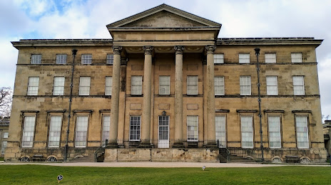
Photo
Where is located National Trust - Attingham Park Estate: Cronkhill
National Trust - Attingham Park Estate: Cronkhill — local attraction, which is located at Cross Houses near, Shrewsbury SY5 6JP, United Kingdom and belongs to the category — $$. Average visitor rating for this place — 4.7 (according to 437 ratings, information from open sources and relevant for 2022).
Exact location — National Trust - Attingham Park Estate: Cronkhill, marked on the map with a red marker.
You can get directions to National Trust - Attingham Park Estate: Cronkhill on the map from your location.
What else is interesting in Shrewsbury? You can see all the sights if you go to the city page.
Coordinates
National Trust - Attingham Park Estate: Cronkhill, United Kingdom coordinates in decimal format: latitude — 52.68861836363204, longitude — -2.6685014747313764. When converted to degrees, minutes, seconds National Trust - Attingham Park Estate: Cronkhill has the following coordinates: 52°41′19.03 north latitude and -2°40′6.61 east longitude.
Nearby cities
The largest cities that are located nearby:
- Telford — 21 km
- Dudley — 50 km
- Stoke-on-Trent — 50 km
- West Bromwich — 55 km
- Birmingham — 63 km
- Sutton Coldfield — 64 km
- Worcester — 67 km
- Liverpool — 79 km
- Coventry — 90 km
- Manchester — 92 km
- Cheltenham — 101 km
- Leicester — 109 km
- Sheffield — 113 km
- Blackburn — 116 km
- Preston — 117 km
- Huddersfield — 122 km
- Rotherham — 122 km
- Northampton — 136 km
- Bristol — 139 km
Distance to the capital
Distance to the capital (London) is about — 218 km.