 Betteshanger
Lynton
Amesbury
Marlow
Burford
Chipping Norton
Marlborough
Cairnryan
Lydney
Betteshanger
Lynton
Amesbury
Marlow
Burford
Chipping Norton
Marlborough
Cairnryan
Lydney
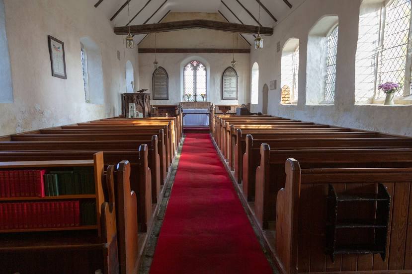
St Andrew's Church - Covehithe on the map, Lowestoft, United Kingdom
Photo
Where is located St Andrew's Church - Covehithe
St Andrew's Church - Covehithe — local attraction, which is located at Mill Ln, Covehithe NR34 7JJ, United Kingdom and belongs to the category — church. Average visitor rating for this place — 4.6 (according to 155 ratings, information from open sources and relevant for 2022).
Exact location — St Andrew's Church - Covehithe, marked on the map with a red marker.
You can get directions to St Andrew's Church - Covehithe on the map from your location.
What else is interesting in Lowestoft? You can see all the sights if you go to the city page.
Coordinates
St Andrew's Church - Covehithe, United Kingdom coordinates in decimal format: latitude — 52.376754131821976, longitude — 1.7052636252569817. When converted to degrees, minutes, seconds St Andrew's Church - Covehithe has the following coordinates: 52°22′36.31 north latitude and 1°42′18.95 east longitude.
Nearby cities
The largest cities that are located nearby:
- Norwich — 35 km
- Ipswich — 62 km
- Cambridge — 115 km
- Chelmsford — 121 km
- Southend-on-Sea — 126 km
- Basildon — 133 km
- Gillingham — 147 km
- Luton — 163 km
- Watford — 173 km
- The Hague
 (Netherlands) — 179 km
 - Northampton — 182 km
- Sutton — 183 km
- Leiden (Netherlands) — 189 km
- Zoetermeer (Netherlands) — 192 km
- Slough — 194 km
- Leicester — 195 km
- Haarlem (Netherlands) — 195 km
- Rotterdam (Netherlands) — 196 km
- Hoofddorp (Netherlands) — 200 km
Distance to the capital
Distance to the capital (London) is about — 159 km.