South El Monte — Shubuta
South El Monte — Storrie
South El Monte — Munden
South El Monte — Brushton
South El Monte — Troy
South El Monte — Bay
South El Monte — Boone Grove
South El Monte — Salt Lake City
South El Monte — Paxton Airport
South El Monte — Lachine
South El Monte — Knotts Island
South El Monte — Winslow
South El Monte — Reidsville
South El Monte — East Pharsalia
South El Monte — Jacksboro
South El Monte — Easley
South El Monte — Reedsport
South El Monte — Crump
South El Monte — Hoquiam
El Monte
Baldwin Park
Duarte
Azusa
Citrus
Glendora
San Dimas
Claremont
Upland
Upland
Rancho Cucamonga
Fontana
Lytle Creek
Cajon Junction
Hesperia
Victorville
Oro Grande
Hutt
Barstow
Daggett
Minneola
Newberry Springs
Needles
Topock
Yucca
Kingman
Seligman
Ash Fork
Williams
Bellemont
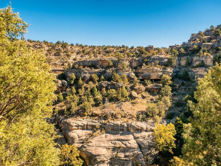
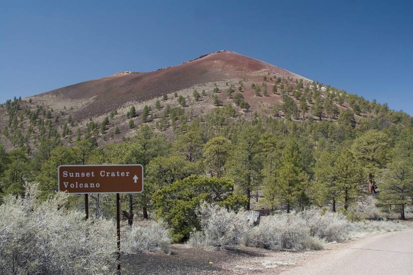
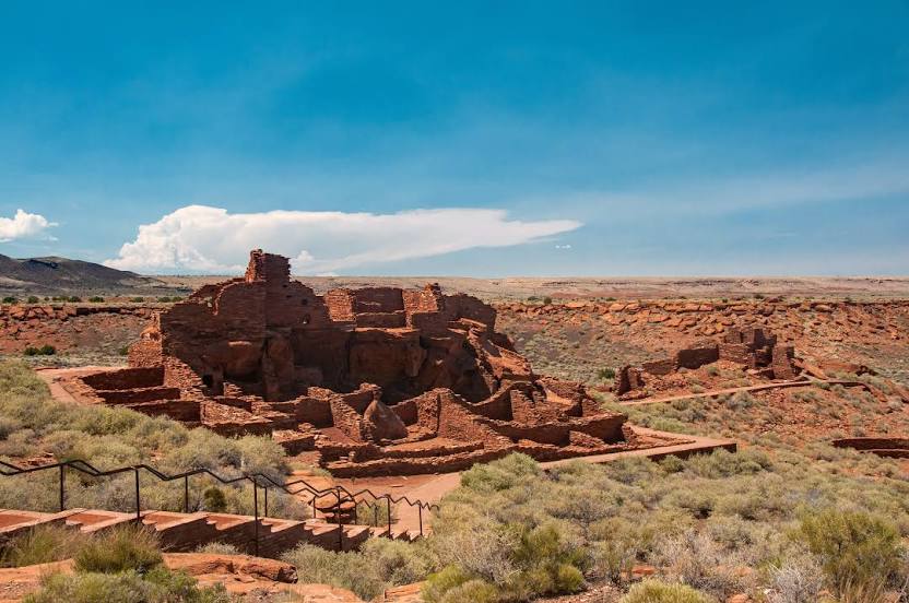
South El Monte — Flagstaff distance, route on the map
Distance by car
Distance between South El Monte, California, United States and Flagstaff, Arizona, United States by car is — km, or miles. To travel this distance by car, you need minute, or h.
Route on the map, driving directions
Car route South El Monte — Flagstaff was created automatically. The road on the map is shown as a blue line. By moving the markers, you can create a new route through the points you need.
Passing cities through which the car route passes: Avocado Heights, El Monte, Baldwin Park, Duarte, Azusa, Citrus, Glendora, San Dimas, Claremont, Upland, Upland, Rancho Cucamonga, Fontana, Lytle Creek, Cajon Junction, Hesperia, Victorville, Oro Grande, Hutt, Barstow, Daggett, Minneola, Newberry Springs, Needles, Topock, Yucca, Kingman, Seligman, Ash Fork, Williams, Bellemont.
Distance by plane
If you decide to take a trip South El Monte Flagstaff by plane, then you have to fly the distance — 599 km or 371 miles. It is marked on the map with a gray line (between two points in a straight line).
Flight time
Estimated flight time South El Monte Flagstaff by plane at cruising speed 750 km / h will be — 47 min.
Direction of movement
United States, South El Monte — right-hand traffic. United States, Flagstaff — right-hand traffic.
Difference in time
South El Monte and Flagstaff are in the same time zone. Between them there is no time difference (UTC -7 America/Los_Angeles).
Interesting Facts
Information on alternative ways to get to your destination.
The length of this distance is about 1.5% of the total length of the equator.
The percentage of the population is clearly shown in the graph:
South El Monte — 22,049 (less by 35,517), Flagstaff — 57,566 residents.
The cost of travel
Calculate the cost of the trip yourself using the fuel consumption calculator, changing the data in the table.