Flagstaff — Bonne Terre
Flagstaff — Herkimer
Flagstaff — Screven County
Flagstaff — Carmen
Flagstaff — Richmond
Flagstaff — Avilla
Flagstaff — Santa Monica
Flagstaff — Mount Prospect
Flagstaff — Ellis County
Flagstaff — Lewisburg
Flagstaff — Stockbridge
Flagstaff — Herriman
Flagstaff — Weston
Flagstaff — Louisville
Flagstaff — Caddo Gap
Flagstaff — Rossiter
Flagstaff — Alturas
Flagstaff — Rector Airport
Williams
Ash Fork
Seligman
Kingman
Yucca
Topock
Needles
Newberry Springs
Minneola
Daggett
Barstow
Hutt
Oro Grande
Victorville
Hesperia
Cajon Junction
Lytle Creek
Fontana
Rancho Cucamonga
Upland
Upland
Claremont
San Dimas
Glendora
Citrus
Azusa
Duarte
Baldwin Park
El Monte
Avocado Heights
Flagstaff — South El Monte distance, route on the map
Distance by car
Distance between Flagstaff, Arizona, United States and South El Monte, California, United States by car is — km, or miles. To travel this distance by car, you need minute, or h.
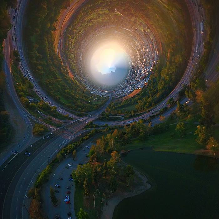
Route on the map, driving directions
Car route Flagstaff — South El Monte was created automatically. The road on the map is shown as a blue line. By moving the markers, you can create a new route through the points you need.
Passing cities through which the car route passes: Bellemont, Williams, Ash Fork, Seligman, Kingman, Yucca, Topock, Needles, Newberry Springs, Minneola, Daggett, Barstow, Hutt, Oro Grande, Victorville, Hesperia, Cajon Junction, Lytle Creek, Fontana, Rancho Cucamonga, Upland, Upland, Claremont, San Dimas, Glendora, Citrus, Azusa, Duarte, Baldwin Park, El Monte, Avocado Heights.
Distance by plane
If you decide to take a trip Flagstaff South El Monte by plane, then you have to fly the distance — 599 km or 371 miles. It is marked on the map with a gray line (between two points in a straight line).
Flight time
Estimated flight time Flagstaff South El Monte by plane at cruising speed 750 km / h will be — 47 min.
Direction of movement
United States, Flagstaff — right-hand traffic. United States, South El Monte — right-hand traffic.
Difference in time
Flagstaff and South El Monte are in the same time zone. Between them there is no time difference (UTC -7 America/Phoenix).
Interesting Facts
Information on alternative ways to get to your destination.
The length of this distance is about 1.5% of the total length of the equator.
The percentage of the population is clearly shown in the graph:
Flagstaff — 57,566, South El Monte — 22,049 residents (less by 35,517).
The cost of travel
Calculate the cost of the trip yourself using the fuel consumption calculator, changing the data in the table.