
 Gänserndorf
Friesach
Imst
Trofaiach
Horn
Engerwitzdorf
Mallnitz
Horitschon
Regau
Golling an der Salzach
Neudörfl
Krenglbach
Wallern im Burgenland
Gablitz
Bad Kleinkirchheim
Langenlois
Leopoldsdorf
Altheim
Lieboch
Gänserndorf
Friesach
Imst
Trofaiach
Horn
Engerwitzdorf
Mallnitz
Horitschon
Regau
Golling an der Salzach
Neudörfl
Krenglbach
Wallern im Burgenland
Gablitz
Bad Kleinkirchheim
Langenlois
Leopoldsdorf
Altheim
Lieboch
Saalfelden on the map, Austria
Where is located Saalfelden
Exact location — Saalfelden, Zell am See District, Salzburg, Austria, marked on the map with a red marker.
Coordinates
Saalfelden, Austria coordinates in decimal format: latitude — 47.4273901, longitude — 12.8411445. When converted to degrees, minutes, seconds Saalfelden has the following coordinates: 47°25′38.6 north latitude and 12°50′28.12 east longitude.
Population
Saalfelden, Zell am See District, Salzburg, Austria, according to our data the population is — 16,119 residents, which is about 0.2% of the total population of the country (Austria).
Comparison of the population on the graph:
Exact time
Time zone for this location Saalfelden — UTC +2 Europe/Vienna. Exact time — wednesday, 5 may 2024 year, 17 h. 13 minutes.
Sunrise and sunset
Saalfelden, sunrise and sunset data for a date — wednesday 15.05.2024.
| Sunrise | Sunset | Day (duration) |
|---|---|---|
| 05:34 -2 minutes | 20:35 +2 minutes | 15 h. 0 minutes. +4 minutes |
You can control the scale of the map using the auxiliary tools to find out exactly where it is located Saalfelden. When you change the scale of the map, the width of the ruler also changes (in kilometers and miles).
Nearby cities
The largest cities that are located nearby:
- Salzburg — 45 km
- Innsbruck — 109 km
- Munich
 (Germany) — 121 km
 - Linz — 144 km
- Augsburg (Germany) — 177 km
- Ingolstadt (Germany) — 180 km
- Regensburg (Germany) — 183 km
- Ljubljana
 (Slovenia) — 198 km
 - Graz — 200 km
- Trento
 (Italy) — 200 km
 - Trieste (Italy) — 209 km
- Venice (Italy) — 223 km
- Vicenza (Italy) — 231 km
- Ulm (Germany) — 236 km
- Nuremberg (Germany) — 257 km
- Pilsen
 (Czech Republic) — 258 km
 - Verona (Italy) — 263 km
- Fürth (Germany) — 263 km
- Rijeka
 (Croatia) — 263 km
Distance to neighboring capitals:
- Ljubljana (Slovenia) — 198 km
- Vaduz
 (Liechtenstein) — 253 km
 - Zagreb (Croatia) — 300 km
- Prague (Czech Republic) — 317 km
- Bratislava
 (Slovakia) — 329 km
 - Bern
 (Switzerland) — 411 km
 - Budapest
 (Hungary) — 466 km
 - Berlin (Germany) — 568 km
- Rome (Italy) — 615 km
- Belgrade
 (Serbia) — 656 km
 - Amsterdam
 (Netherlands) — 791 km
 - Warsaw
 (Poland) — 792 km
 - Paris
 (France) — 794 km
 - Copenhagen
 (Denmark) — 918 km
 - Bucharest
 (Romania) — 1077 km
 - Kyiv
 (Ukraine) — 1331 km
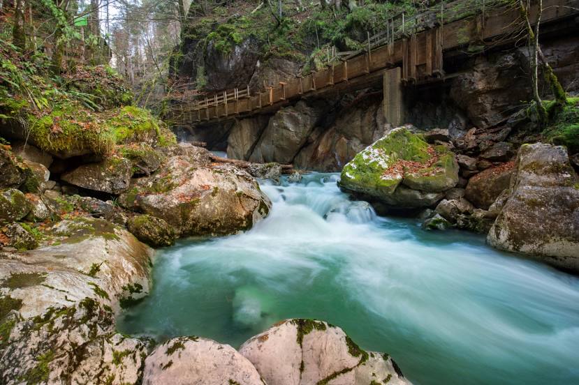
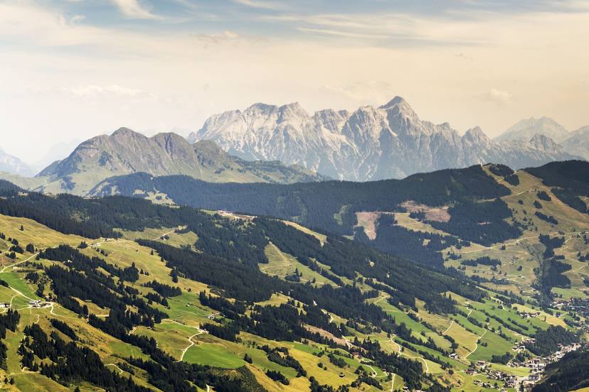
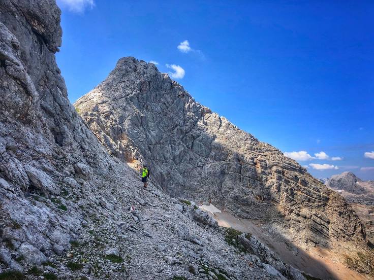
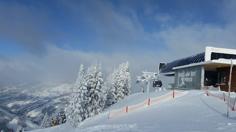
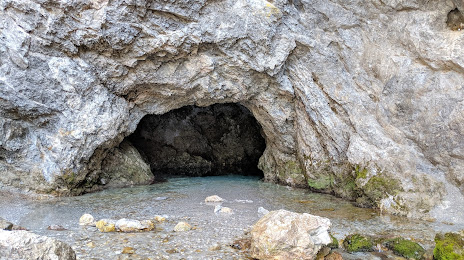
Attractions
Distance to the capital
Distance to the capital (Vienna) is about — 278 km.