Stone House — Newbiggin-on-Lune
Stone House — Foggathorpe
Stone House — Clevedon
Stone House — Knebworth
Stone House — Sileby
Stone House — 伯斯
Stone House — Falkirk
Stone House — Glasgow
Stone House — Bolsover
Stone House — Harwich
Stone House — Magheralin
Stone House — Boston
Stone House — Strabane
Stone House — Belleek
Stone House — Weston-super-Mare
Stone House — Botolphs
Stone House — Nantgaredig
Stone House — St Ives
Stone House — Dinnington
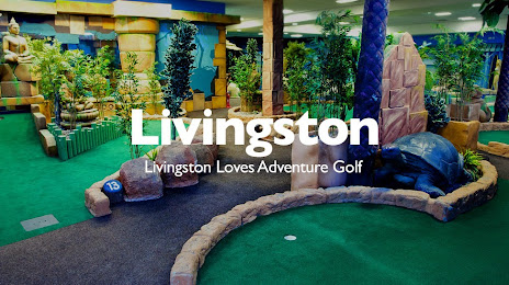
Stone House — Livingston distance, route on the map
Distance by car
Distance between Stone House, England, United Kingdom and Livingston, Scotland, United Kingdom by car is — km, or miles. To travel this distance by car, you need minute, or h.
Route on the map, driving directions
Car route Stone House — Livingston was created automatically. The road on the map is shown as a blue line. By moving the markers, you can create a new route through the points you need.
Distance by plane
If you decide to take a trip Stone House Livingston by plane, then you have to fly the distance — 469 km or 291 miles. It is marked on the map with a gray line (between two points in a straight line).
Flight time
Estimated flight time Stone House Livingston by plane at cruising speed 750 km / h will be — 37 min.
Direction of movement
United Kingdom, Stone House — left-hand traffic. United Kingdom, Livingston — left-hand traffic.
Difference in time
Stone House and Livingston are in the same time zone. Between them there is no time difference (UTC +1 Europe/London).
Interesting Facts
Information on alternative ways to get to your destination.
The length of this distance is about 1.2% of the total length of the equator.
The cost of travel
Calculate the cost of the trip yourself using the fuel consumption calculator, changing the data in the table.
Calculate the cost of other distances from the starting point — Stone House.