Lisburn — Kesh
Lisburn — Llanwrthwl
Lisburn — Londonderry
Lisburn — Milton Damerel
Lisburn — Royal Military Academy
Lisburn — Caister-on-Sea
Lisburn — Kimberworth
Lisburn — York
Lisburn — Brind
Lisburn — Cheshire West and Chester
Lisburn — Piddletrenthide
Lisburn — Oakham
Lisburn — Salisbury
Lisburn — Manfield
Lisburn — Northampton
Lisburn — Cairnryan
Lisburn — Ingoldisthorpe
Lisburn — Clydebank
Lisburn — Cardiff
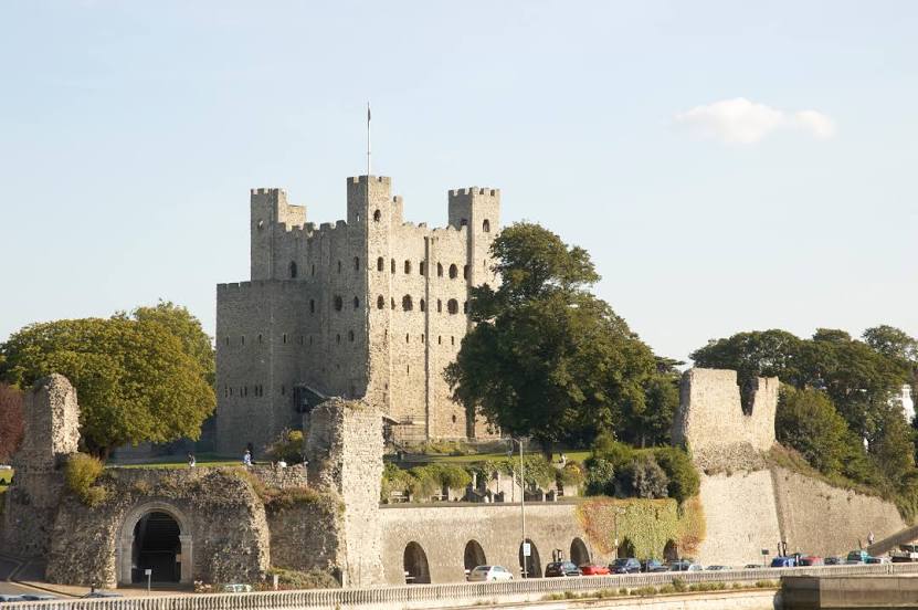
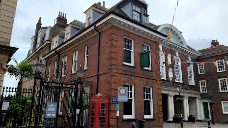
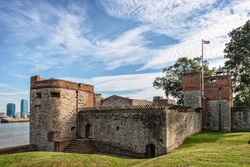
Lisburn — Rochester distance, route on the map
Distance by car
Distance between Lisburn, Northern Ireland, United Kingdom and Rochester, England, United Kingdom by car is — km, or miles. To travel this distance by car, you need minute, or h.
Route on the map, driving directions
Car route Lisburn — Rochester was created automatically. The road on the map is shown as a blue line. By moving the markers, you can create a new route through the points you need.
Distance by plane
If you decide to take a trip Lisburn Rochester by plane, then you have to fly the distance — 560 km or 347 miles. It is marked on the map with a gray line (between two points in a straight line).
Flight time
Estimated flight time Lisburn Rochester by plane at cruising speed 750 km / h will be — 44 min.
Direction of movement
United Kingdom, Lisburn — left-hand traffic. United Kingdom, Rochester — left-hand traffic.
Difference in time
Lisburn and Rochester are in the same time zone. Between them there is no time difference (UTC +1 Europe/London).
Interesting Facts
Information on alternative ways to get to your destination.
The length of this distance is about 1.4% of the total length of the equator.
The percentage of the population is clearly shown in the graph:
Lisburn — 77,506, Rochester — 28,671 residents (less by 48,835).
The cost of travel
Calculate the cost of the trip yourself using the fuel consumption calculator, changing the data in the table.
Calculate the cost of other distances from the starting point — Lisburn.