Obstacle
Jericho
Toxicity
The channel
Dayr Samet
Aabdeh
Tura alGharbiyya
Rumana
Al Hijrah
Obstacle
Jericho
Toxicity
The channel
Dayr Samet
Aabdeh
Tura alGharbiyya
Rumana
Al Hijrah
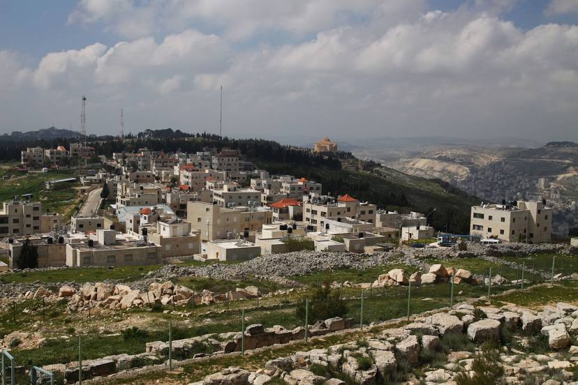
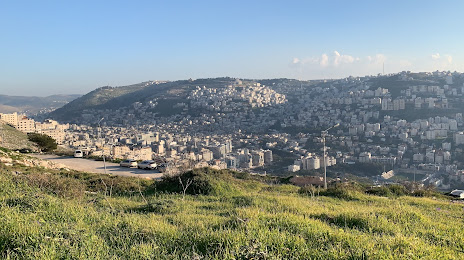
Nablus on the map, Palestinian Territory
Where is located Nablus
Exact location — Nablus, Palestinian Territory, marked on the map with a red marker.
Coordinates
Nablus, Palestinian Territory coordinates in decimal format: latitude — 32.2250364, longitude — 35.2609682. When converted to degrees, minutes, seconds Nablus has the following coordinates: 32°13′30.13 north latitude and 35°15′39.49 east longitude.
Exact time
Time zone for this location Nablus — UTC +3 Asia/Hebron. Exact time — monday, 5 may 2024 year, 00 h. 29 minutes.
Sunrise and sunset
Nablus, sunrise and sunset data for a date — monday 20.05.2024.
| Sunrise | Sunset | Day (duration) |
|---|---|---|
| 05:40 -1 minute | 19:30 +1 minute | 13 h. 48 minutes. +2 minutes |
You can control the scale of the map using the auxiliary tools to find out exactly where it is located Nablus. When you change the scale of the map, the width of the ruler also changes (in kilometers and miles).
Nearby cities
The largest cities that are located nearby:
- Netanya
 (Israel) — 40 km
 - Ramat Gan (Israel) — 44 km
- Tel Aviv-Yafo (Israel) — 47 km
- Jerusalem (Israel) — 51 km
- Bat Yam (Israel) — 53 km
- Irbid
 (Jordan) — 66 km
 - Haifa (Israel) — 68 km
- Amman (Jordan) — 71 km
- Ashdod (Israel) — 73 km
- Ashqelon (Israel) — 89 km
- Tyre
 (Lebanon) — 116 km
 - Damascus
 (Syria) — 171 km
 - Duma (Syria) — 182 km
- Beirut (Lebanon) — 185 km
- Tripoli (Lebanon) — 250 km
- Port Said
 (Egypt) — 299 km
 - Ismailia (Egypt) — 337 km
- Limassol
 (Cyprus) — 342 km
 - Hamah (Syria) — 349 km
Distance to neighboring capitals:
- Jerusalem (Israel) — 51 km
- Amman (Jordan) — 71 km
- Damascus (Syria) — 173 km
- Cairo (Egypt) — 453 km
- Baghdad
 (Iraq) — 865 km
 - Riyadh
 (Saudi Arabia) — 1401 km
 - Khartoum
 (Sudan) — 1880 km
 - Tripoli
 (Libya) — 2067 km