 Uppington
Oakham
Padstow
Pitlochry
Weston-super-Mare
Strathblane
Arram
London
Scotland
Wolverhampton
Hamilton
Hastings
Folkestone
Brighton
Caerleon
Halifax
Blackpool
Dover
Plymouth
Uppington
Oakham
Padstow
Pitlochry
Weston-super-Mare
Strathblane
Arram
London
Scotland
Wolverhampton
Hamilton
Hastings
Folkestone
Brighton
Caerleon
Halifax
Blackpool
Dover
Plymouth
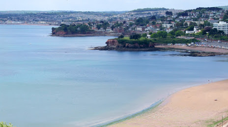
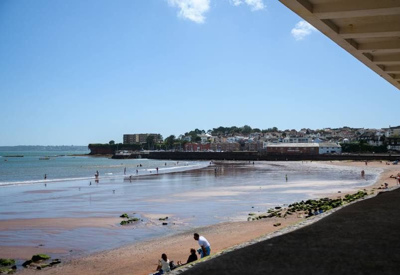
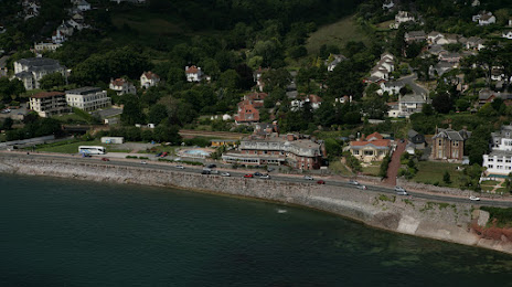
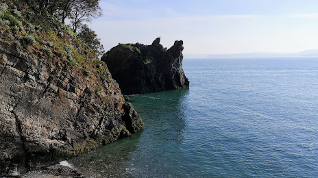
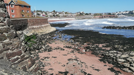
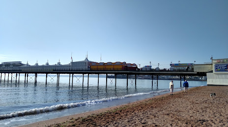
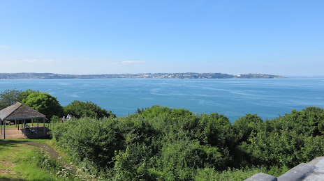
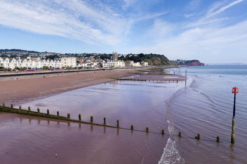
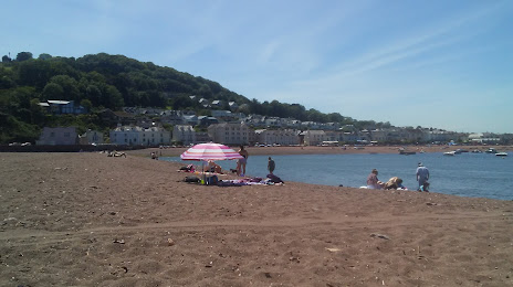
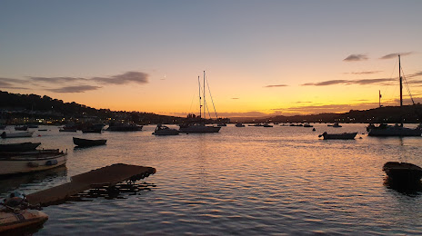
Torquay on the map, United Kingdom
Where is located Torquay
Exact location — Torquay, Torbay, England, United Kingdom, marked on the map with a red marker.
Coordinates
Torquay, United Kingdom coordinates in decimal format: latitude — 50.4619209, longitude — -3.525315. When converted to degrees, minutes, seconds Torquay has the following coordinates: 50°27′42.92 north latitude and -3°31′31.13 east longitude.
Population
Torquay, Torbay, England, United Kingdom, according to our data the population is — 65,388 residents, which is about 0.1% of the total population of the country (United Kingdom).
Comparison of the population on the graph:
Exact time
Time zone for this location Torquay — UTC +1 Europe/London. Exact time — sunday, 4 april 2024 year, 05 h. 39 minutes.
Sunrise and sunset
Torquay, sunrise and sunset data for a date — sunday 28.04.2024.
| Sunrise | Sunset | Day (duration) |
|---|---|---|
| 05:57 -2 minutes | 20:25 +1 minute | 14 h. 30 minutes. +3 minutes |
You can control the scale of the map using the auxiliary tools to find out exactly where it is located Torquay. When you change the scale of the map, the width of the ruler also changes (in kilometers and miles).
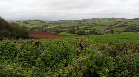
Nearby cities
The largest cities that are located nearby:
- Exeter — 28 km
- Bournemouth — 119 km
- Bristol — 127 km
- Southampton — 156 km
- Swindon — 170 km
- Portsmouth — 175 km
- Cheltenham — 187 km
- Reading — 207 km
- Oxford — 211 km
- Worcester — 211 km
- Slough — 233 km
- Brest
 (France) — 240 km
 - Crawley — 243 km
- Dudley — 247 km
- Birmingham — 249 km
- West Bromwich — 250 km
- Sutton — 251 km
- Watford — 252 km
- Coventry — 254 km
Distance to neighboring capitals:
- Dublin
 (Ireland) — 372 km
 - Paris (France) — 459 km
- Paris (France) — 459 km
- Brussels
 (Belgium) — 557 km
 - Amsterdam
 (Netherlands) — 621 km
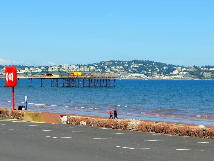
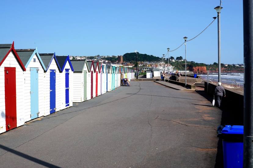
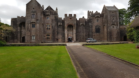
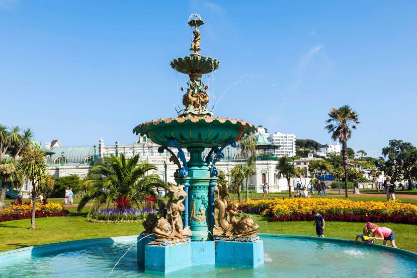
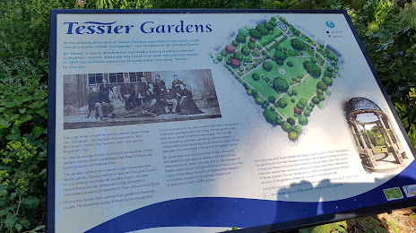
Attractions


Distance to the capital
Distance to the capital (London) is about — 265 km.