 Kingston upon Thames
Great Britain
Saint Ives
York
Margate
London
Medstead
Tilton on the Hill
Edinburgh
Oxford
Llay
Stratford
Norwich
Frome
Torquay
Newark-on-Trent
Burton-upon-Trent
Burton
Norwich
Kingston upon Thames
Great Britain
Saint Ives
York
Margate
London
Medstead
Tilton on the Hill
Edinburgh
Oxford
Llay
Stratford
Norwich
Frome
Torquay
Newark-on-Trent
Burton-upon-Trent
Burton
Norwich
Weston-super-Mare on the map, United Kingdom
Where is located Weston-super-Mare
Exact location — Weston-super-Mare, North Somerset, England, United Kingdom, marked on the map with a red marker.
Coordinates
Weston-super-Mare, United Kingdom coordinates in decimal format: latitude — 51.347405, longitude — -2.977255. When converted to degrees, minutes, seconds Weston-super-Mare has the following coordinates: 51°20′50.66 north latitude and -2°58′38.12 east longitude.
Population
Weston-super-Mare, North Somerset, England, United Kingdom, according to our data the population is — 82,903 residents, which is about 0.1% of the total population of the country (United Kingdom).
Comparison of the population on the graph:
Exact time
Time zone for this location Weston-super-Mare — UTC +1 Europe/London. Exact time — sunday, 4 april 2024 year, 17 h. 16 minutes.
Sunrise and sunset
Weston-super-Mare, sunrise and sunset data for a date — sunday 28.04.2024.
| Sunrise | Sunset | Day (duration) |
|---|---|---|
| 05:52 -2 minutes | 20:26 +2 minutes | 14 h. 36 minutes. +4 minutes |
You can control the scale of the map using the auxiliary tools to find out exactly where it is located Weston-super-Mare. When you change the scale of the map, the width of the ruler also changes (in kilometers and miles).
Nearby cities
The largest cities that are located nearby:
- Bristol — 29 km
- Exeter — 80 km
- Swindon — 85 km
- Cheltenham — 87 km
- Bournemouth — 104 km
- Worcester — 107 km
- Southampton — 120 km
- Oxford — 126 km
- Reading — 138 km
- Dudley — 142 km
- Portsmouth — 144 km
- West Bromwich — 145 km
- Birmingham — 146 km
- Telford — 151 km
- Coventry — 153 km
- Sutton Coldfield — 156 km
- Slough — 165 km
- Northampton — 172 km
- Watford — 181 km
Distance to neighboring capitals:
- Dublin
 (Ireland) — 315 km
 - Paris
 (France) — 470 km
 - Paris (France) — 470 km
- Brussels
 (Belgium) — 515 km
 - Amsterdam
 (Netherlands) — 552 km
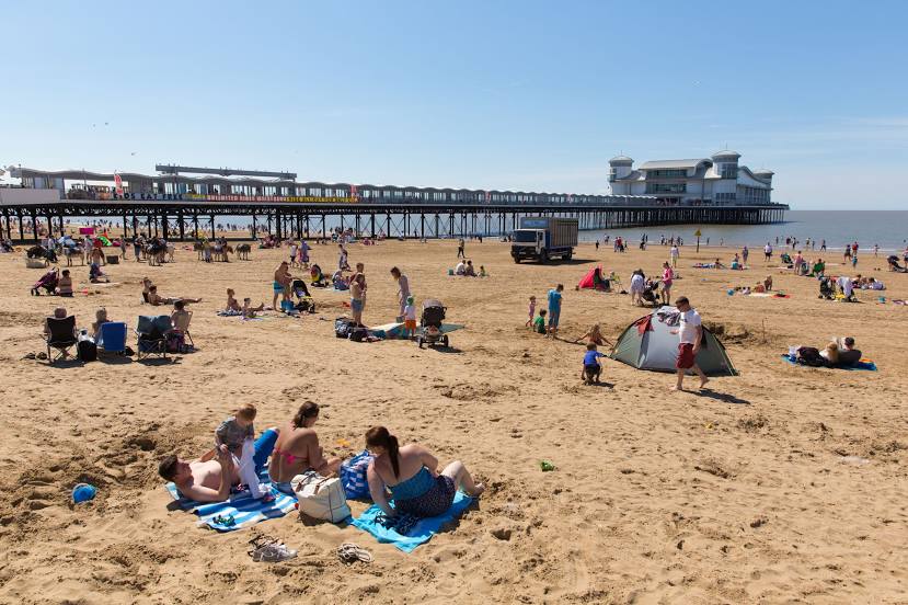
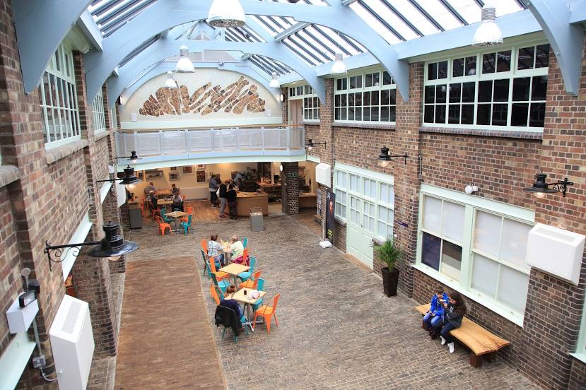
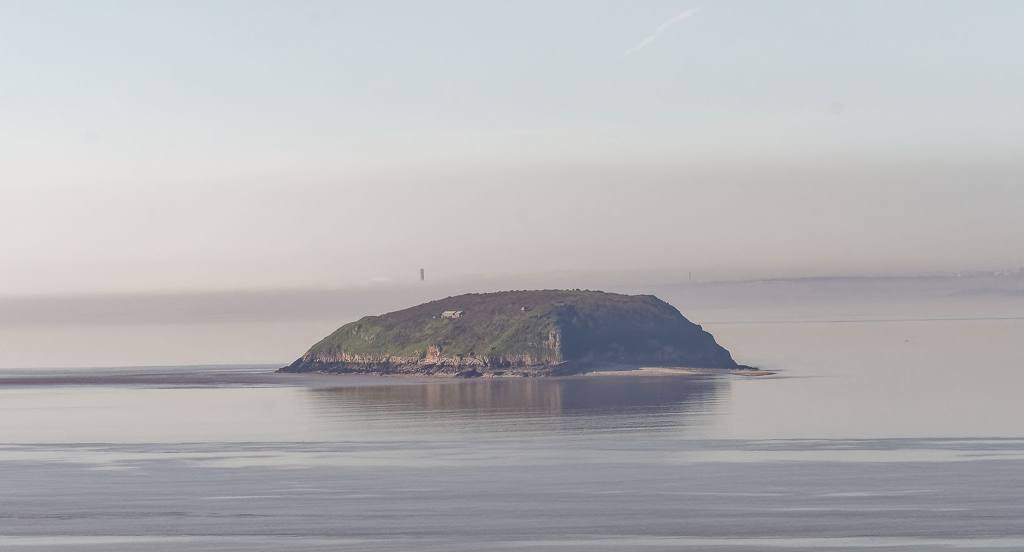
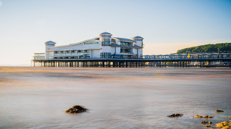
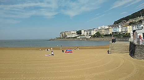
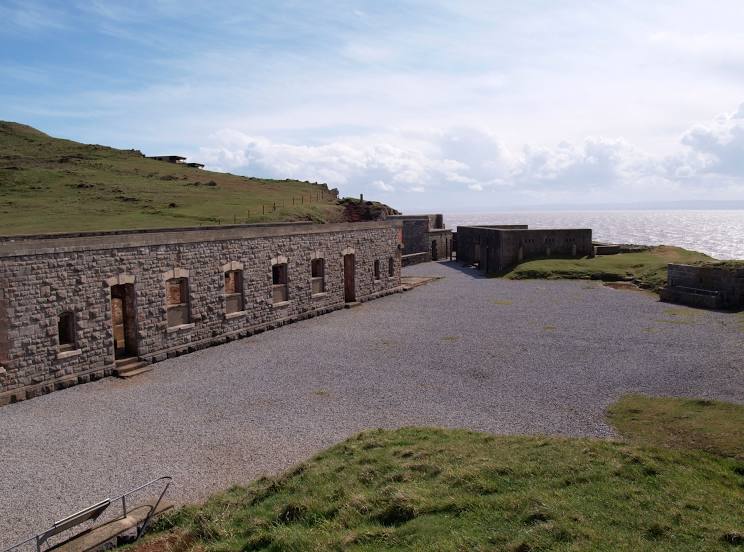
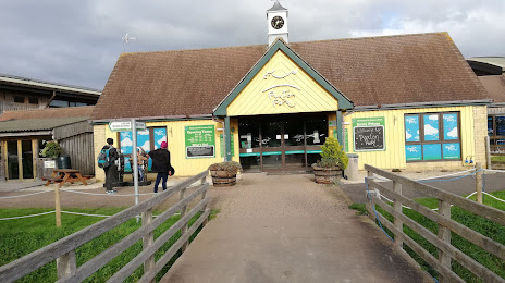
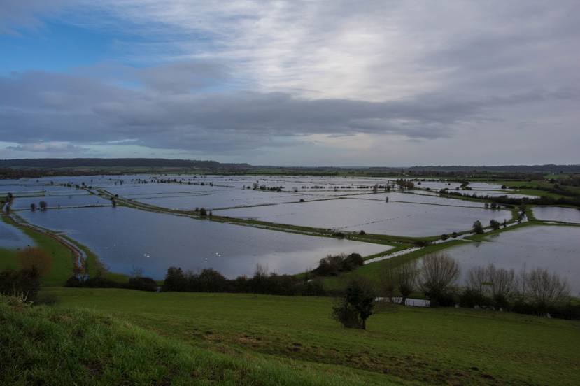
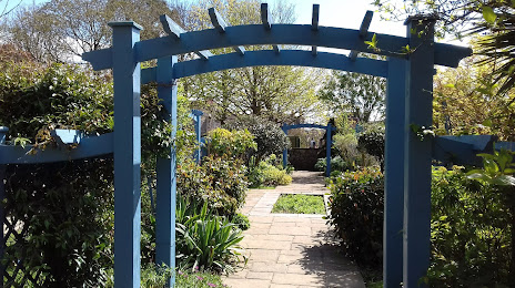
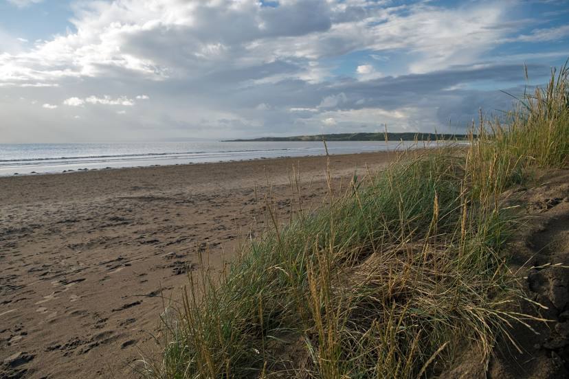
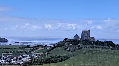
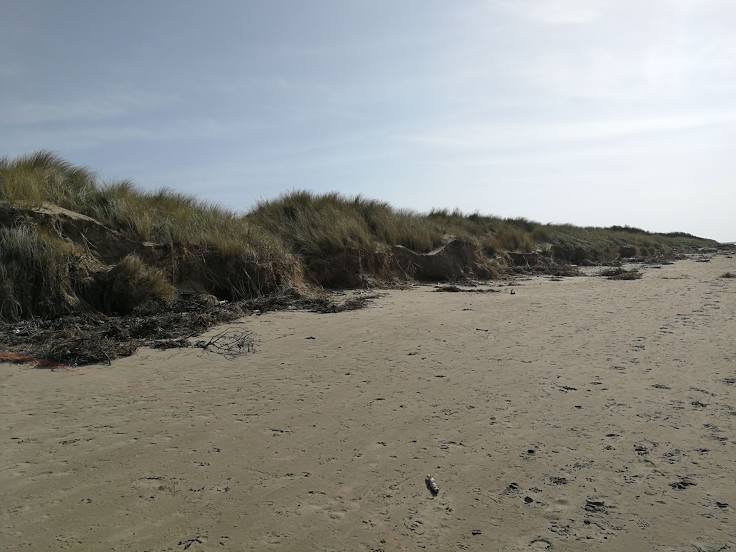
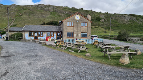
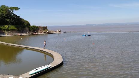
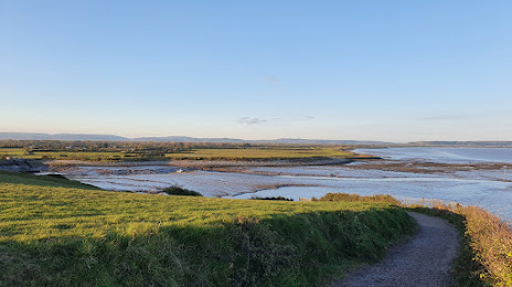
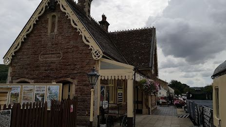
Attractions


Distance to the capital
Distance to the capital (London) is about — 198 km.