Whitley Bay — Lawhitton
Whitley Bay — Great Salkeld
Whitley Bay — England
Whitley Bay — Dinnet
Whitley Bay — Scourie
Whitley Bay — Lydbrook
Whitley Bay — Scotland
Whitley Bay — Bellshill
Whitley Bay — Lenham
Whitley Bay — Longhorsley
Whitley Bay — Biggar
Whitley Bay — Heywood
Whitley Bay — Stonehaven
Whitley Bay — Dorchester
Whitley Bay — Golcar
Whitley Bay — Newcastle
Whitley Bay — Rugby
Whitley Bay — Coleraine
Whitley Bay — Coatbridge
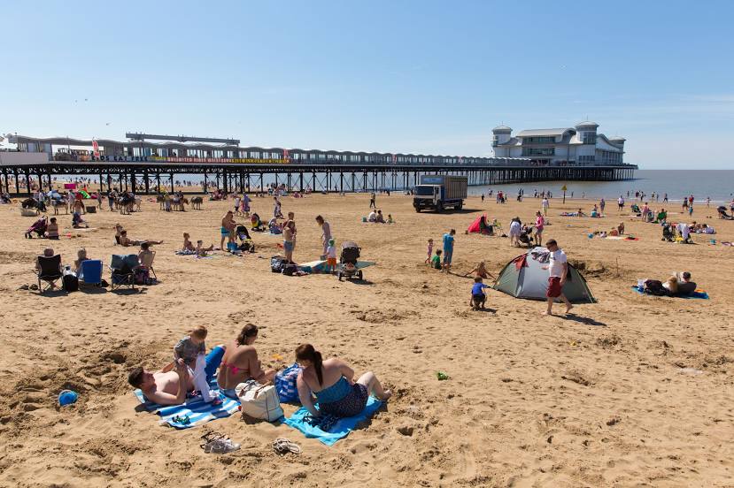
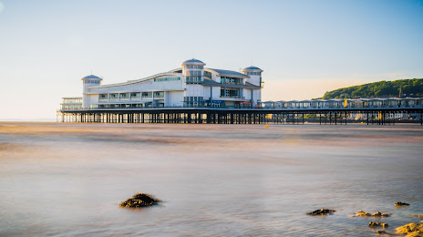
Whitley Bay — Weston-super-Mare distance, route on the map
Distance by car
Distance between Whitley Bay, England, United Kingdom and Weston-super-Mare, England, United Kingdom by car is — km, or miles. To travel this distance by car, you need minute, or h.
Route on the map, driving directions
Car route Whitley Bay — Weston-super-Mare was created automatically. The road on the map is shown as a blue line. By moving the markers, you can create a new route through the points you need.
Distance by plane
If you decide to take a trip Whitley Bay Weston-super-Mare by plane, then you have to fly the distance — 424 km or 263 miles. It is marked on the map with a gray line (between two points in a straight line).
Flight time
Estimated flight time Whitley Bay Weston-super-Mare by plane at cruising speed 750 km / h will be — 33 min.
Direction of movement
United Kingdom, Whitley Bay — left-hand traffic. United Kingdom, Weston-super-Mare — left-hand traffic.
Difference in time
Whitley Bay and Weston-super-Mare are in the same time zone. Between them there is no time difference (UTC +1 Europe/London).
Interesting Facts
Information on alternative ways to get to your destination.
The length of this distance is about 1.1% of the total length of the equator.
The percentage of the population is clearly shown in the graph:
Whitley Bay — 38,055 (less by 44,848), Weston-super-Mare — 82,903 residents.
The cost of travel
Calculate the cost of the trip yourself using the fuel consumption calculator, changing the data in the table.
Calculate the cost of other distances from the starting point — Whitley Bay.