Bristol — Doncaster Sheffield Airport
Bristol — Dundee
Bristol — North Yorkshire
Bristol — Altham
Bristol — Lenham
Bristol — Little Haseley
Bristol — Walsall
Bristol — Huntly
Bristol — Tamworth
Bristol — Cottingham
Bristol — Saffron Walden
Bristol — Sandtoft
Bristol — Newcastle upon Tyne
Bristol — Treorchy
Bristol — Bangor
Bristol — Hebburn
Bristol — Larne
Bristol — Armagh
Bristol — Ruislip
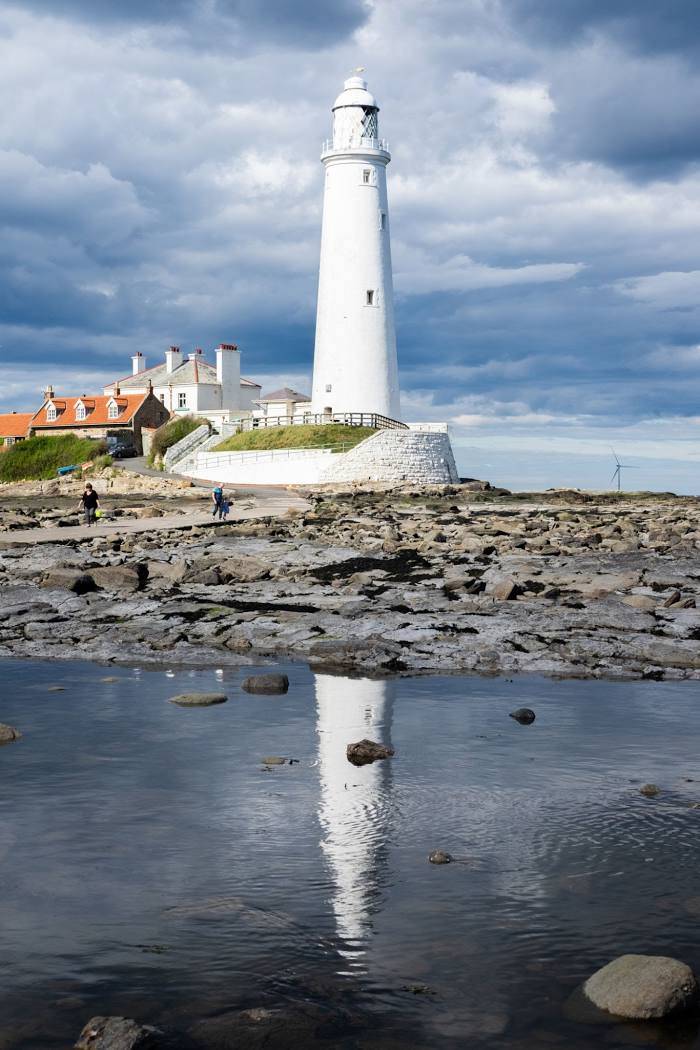
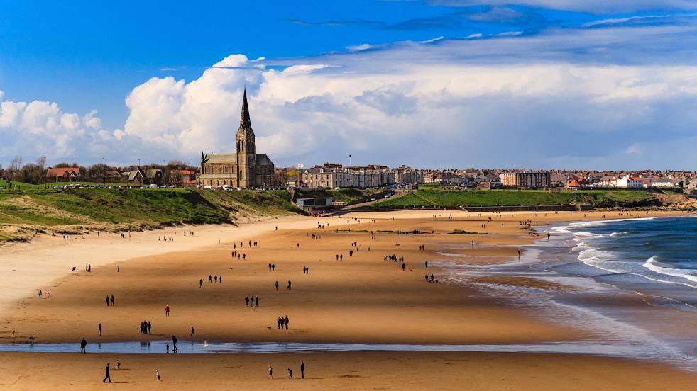
Bristol — Whitley Bay distance, route on the map
Distance by car
Distance between Bristol, England, United Kingdom and Whitley Bay, England, United Kingdom by car is — km, or miles. To travel this distance by car, you need minute, or h.
Route on the map, driving directions
Car route Bristol — Whitley Bay was created automatically. The road on the map is shown as a blue line. By moving the markers, you can create a new route through the points you need.
Distance by plane
If you decide to take a trip Bristol Whitley Bay by plane, then you have to fly the distance — 407 km or 252 miles. It is marked on the map with a gray line (between two points in a straight line).
Flight time
Estimated flight time Bristol Whitley Bay by plane at cruising speed 750 km / h will be — 32 min.
Direction of movement
United Kingdom, Bristol — left-hand traffic. United Kingdom, Whitley Bay — left-hand traffic.
Difference in time
Bristol and Whitley Bay are in the same time zone. Between them there is no time difference (UTC +1 Europe/London).
Interesting Facts
Information on alternative ways to get to your destination.
The length of this distance is about 1.0% of the total length of the equator.
The percentage of the population is clearly shown in the graph:
Bristol — 430,713, Whitley Bay — 38,055 residents (less by 392,658).
The cost of travel
Calculate the cost of the trip yourself using the fuel consumption calculator, changing the data in the table.