Skellingthorpe — Cotts
Skellingthorpe — Wem
Skellingthorpe — Bath
Skellingthorpe — Isleworth
Skellingthorpe — Hampton Hill
Skellingthorpe — Nelson
Skellingthorpe — Annahilt
Skellingthorpe — Lilliesleaf
Skellingthorpe — Blackwatertown
Skellingthorpe — Castle Combe
Skellingthorpe — Antrim
Skellingthorpe — Ashford
Skellingthorpe — Berwick-upon-Tweed
Skellingthorpe — Cockburnspath
Skellingthorpe — Canterbury
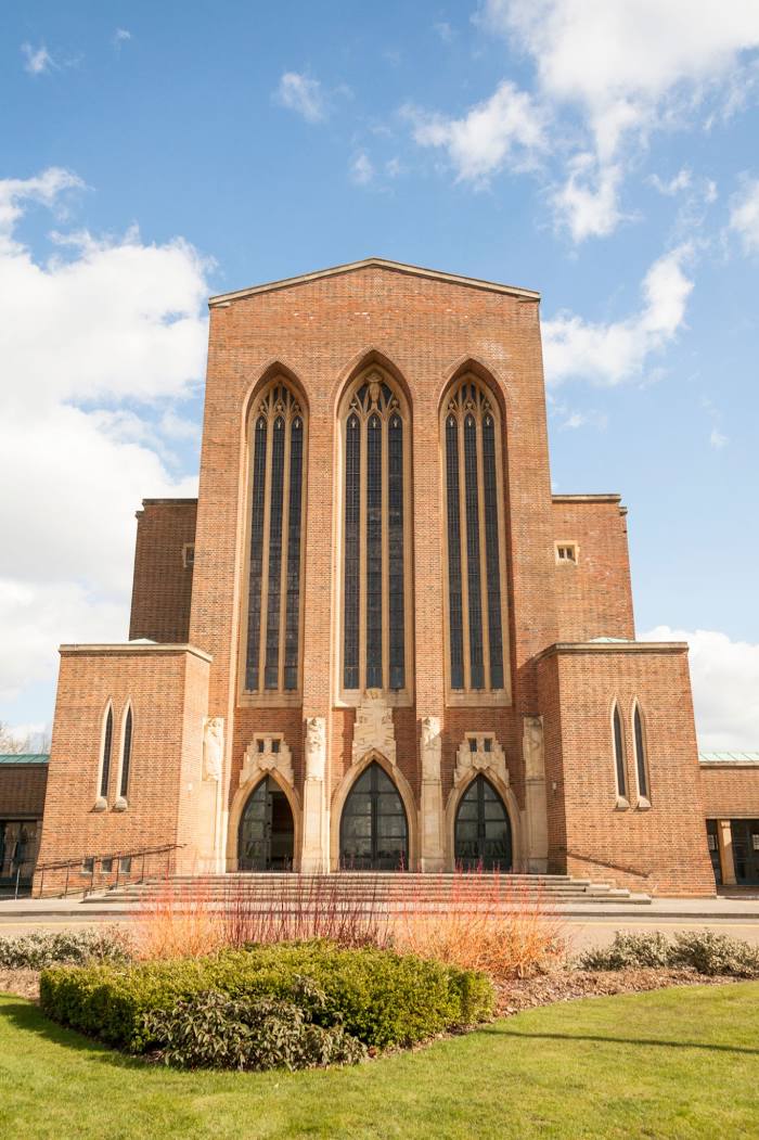
Skellingthorpe — Reigate
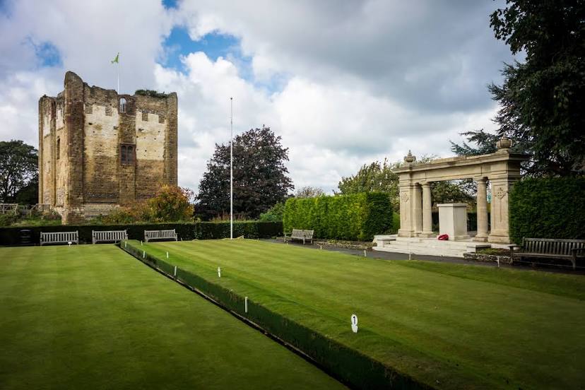
Skellingthorpe — King's Lynn
Skellingthorpe — Lydney
Skellingthorpe — Sutton Scotney
Skellingthorpe — Cotts
Skellingthorpe — Wem
Skellingthorpe — Bath
Skellingthorpe — Isleworth
Skellingthorpe — Hampton Hill
Skellingthorpe — Nelson
Skellingthorpe — Annahilt
Skellingthorpe — Lilliesleaf
Skellingthorpe — Blackwatertown
Skellingthorpe — Castle Combe
Skellingthorpe — Antrim
Skellingthorpe — Ashford
Skellingthorpe — Berwick-upon-Tweed
Skellingthorpe — Cockburnspath
Skellingthorpe — Canterbury
Skellingthorpe — Reigate
Skellingthorpe — King's Lynn
Skellingthorpe — Lydney
Skellingthorpe — Sutton Scotney
Skellingthorpe — Guildford distance, route on the map
Distance by car
Distance between Skellingthorpe, England, United Kingdom and Guildford, England, United Kingdom by car is — km, or miles. To travel this distance by car, you need minute, or h.
Route on the map, driving directions
Car route Skellingthorpe — Guildford was created automatically. The road on the map is shown as a blue line. By moving the markers, you can create a new route through the points you need.
Distance by plane
If you decide to take a trip Skellingthorpe Guildford by plane, then you have to fly the distance — 223 km or 138 miles. It is marked on the map with a gray line (between two points in a straight line).
Flight time
Estimated flight time Skellingthorpe Guildford by plane at cruising speed 750 km / h will be — 17 min.
Direction of movement
United Kingdom, Skellingthorpe — left-hand traffic. United Kingdom, Guildford — left-hand traffic.
Difference in time
Skellingthorpe and Guildford are in the same time zone. Between them there is no time difference (UTC +1 Europe/London).
Interesting Facts
Information on alternative ways to get to your destination.
The length of this distance is about 0.6% of the total length of the equator.
The percentage of the population is clearly shown in the graph:
Skellingthorpe — 3,414 (less by 68,459), Guildford — 71,873 residents.
The cost of travel
Calculate the cost of the trip yourself using the fuel consumption calculator, changing the data in the table.