 Basildon
Dorchester
Alnwick
Cradley Heath
Loughborough
Bude
Hoff
Kirkham
Barking
Abergavenny
Papil
Fife
Craigavon
Beeston
Poynton
Hathersage
Ashbourne
Biggar
Bognor Regis
Basildon
Dorchester
Alnwick
Cradley Heath
Loughborough
Bude
Hoff
Kirkham
Barking
Abergavenny
Papil
Fife
Craigavon
Beeston
Poynton
Hathersage
Ashbourne
Biggar
Bognor Regis
Guildford on the map, United Kingdom
Where is located Guildford
Exact location — Guildford, Surrey, England, United Kingdom, marked on the map with a red marker.
Coordinates
Guildford, United Kingdom coordinates in decimal format: latitude — 51.23622, longitude — -0.570409. When converted to degrees, minutes, seconds Guildford has the following coordinates: 51°14′10.39 north latitude and -0°34′13.47 east longitude.
Population
Guildford, Surrey, England, United Kingdom, according to our data the population is — 71,873 residents, which is about 0.1% of the total population of the country (United Kingdom).
Comparison of the population on the graph:
Exact time
Time zone for this location Guildford — UTC +1 Europe/London. Exact time — friday, 4 april 2024 year, 01 h. 34 minutes.
Sunrise and sunset
Guildford, sunrise and sunset data for a date — friday 26.04.2024.
| Sunrise | Sunset | Day (duration) |
|---|---|---|
| 05:47 -2 minutes | 20:12 +1 minute | 14 h. 24 minutes. +3 minutes |
You can control the scale of the map using the auxiliary tools to find out exactly where it is located Guildford. When you change the scale of the map, the width of the ruler also changes (in kilometers and miles).
Nearby cities
The largest cities that are located nearby:
- Sutton — 29 km
- Crawley — 30 km
- Slough — 30 km
- Reading — 37 km
- Watford — 48 km
- Portsmouth — 59 km
- Southampton — 68 km
- Luton — 72 km
- Oxford — 74 km
- Gillingham — 79 km
- Eastbourne — 79 km
- Basildon — 82 km
- Chelmsford — 90 km
- Swindon — 90 km
- Southend-on-Sea — 94 km
- Bournemouth — 108 km
- Northampton — 113 km
- Cambridge — 117 km
- Cheltenham — 126 km
Distance to neighboring capitals:
- Paris
 (France) — 337 km
 - Paris (France) — 337 km
- Brussels
 (Belgium) — 347 km
 - Amsterdam
 (Netherlands) — 396 km
 - Dublin
 (Ireland) — 453 km
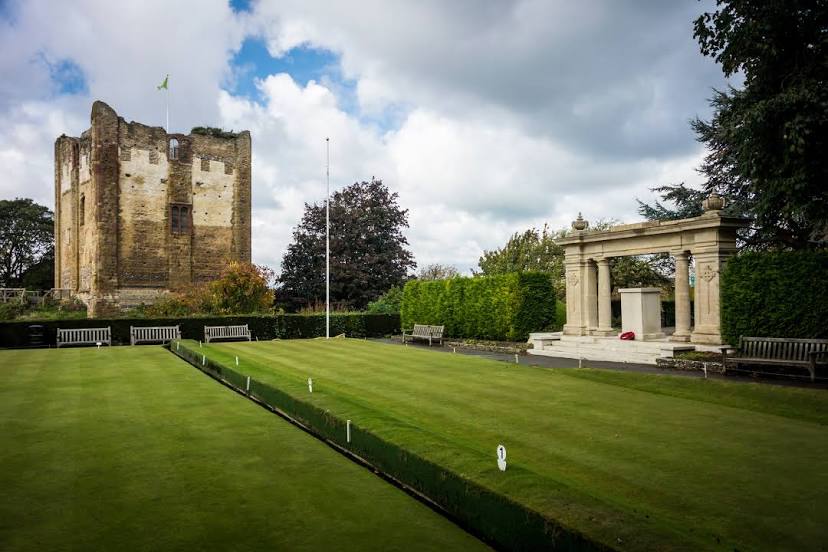
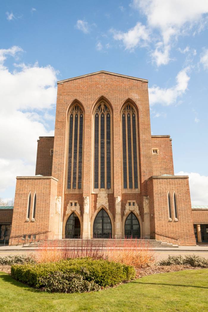
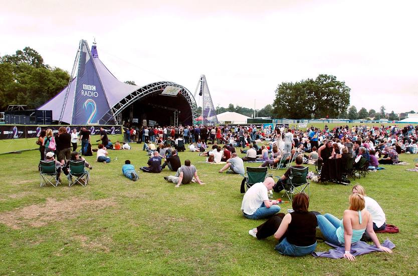
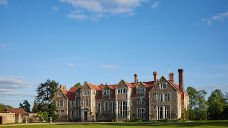
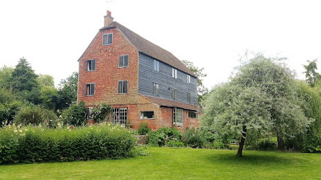
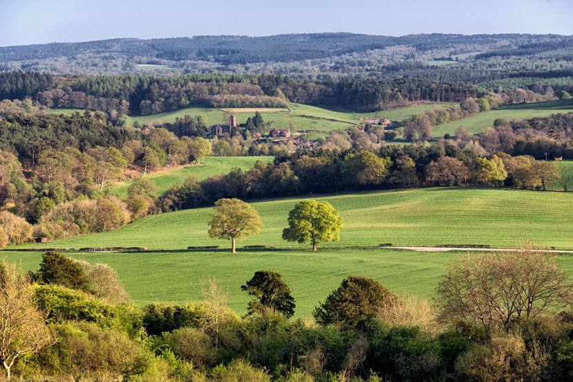
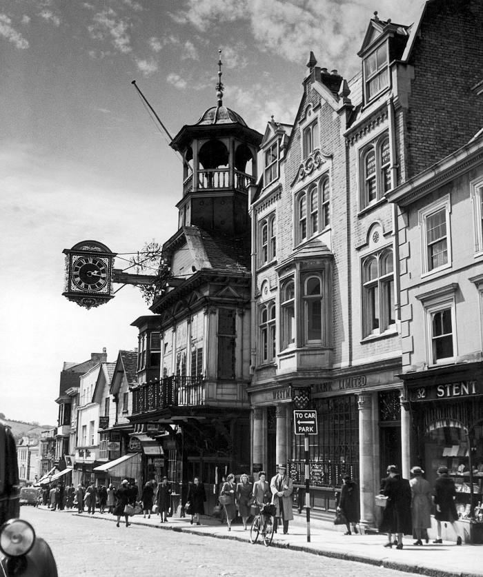
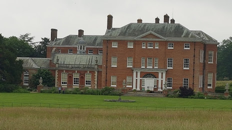
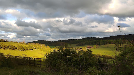
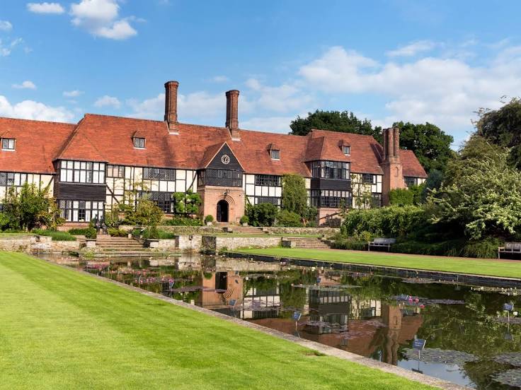
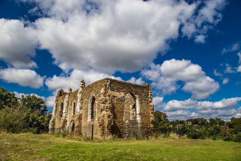
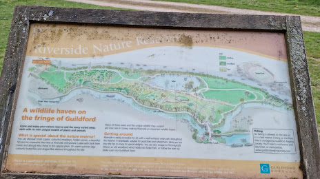
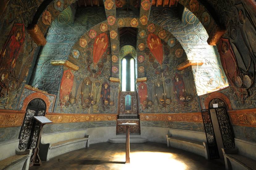
Attractions


Distance to the capital
Distance to the capital (London) is about — 43 km.