Aceh
Kepanjen
Lhokseumawe
Meulaboh
Siantar
Kulon Progo
Temanggung
Tanjung Pandan
Bintuhan
Cikampek
Cianjur
Sidoarjo
Sintang
Ciwidey
Bogor
Rokan Hulu
Tolala
Palopo
Watampone
Aceh
Kepanjen
Lhokseumawe
Meulaboh
Siantar
Kulon Progo
Temanggung
Tanjung Pandan
Bintuhan
Cikampek
Cianjur
Sidoarjo
Sintang
Ciwidey
Bogor
Rokan Hulu
Tolala
Palopo
Watampone
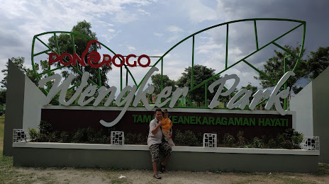
Ponorogo on the map, Indonesia
Where is located Ponorogo
Exact location — Ponorogo, Ponorogo Regency, East Java, Indonesia, marked on the map with a red marker.
Coordinates
Ponorogo, Indonesia coordinates in decimal format: latitude — -7.8666877, longitude — 111.4666099. When converted to degrees, minutes, seconds Ponorogo has the following coordinates: -7°52′0.08 north latitude and 111°27′59.8 east longitude.
Population
Ponorogo, Ponorogo Regency, East Java, Indonesia, according to our data the population is — 79,026 residents, which is about 0% of the total population of the country (Indonesia).
Comparison of the population on the graph:
Exact time
Time zone for this location Ponorogo — UTC +7 Asia/Jakarta. Exact time — monday, 5 may 2024 year, 06 h. 44 minutes.
Sunrise and sunset
Ponorogo, sunrise and sunset data for a date — monday 20.05.2024.
| Sunrise | Sunset | Day (duration) |
|---|---|---|
| 05:41 +1 minute | 17:20 -0 minutes | 11 h. 42 minutes. -1 minute |
You can control the scale of the map using the auxiliary tools to find out exactly where it is located Ponorogo. When you change the scale of the map, the width of the ruler also changes (in kilometers and miles).
Nearby cities
The largest cities that are located nearby:
- Madiun — 27 km
- Kediri — 60 km
- Surakarta — 77 km
- Blitar — 80 km
- Klaten — 89 km
- Purwodadi — 105 km
- Mojokerto — 115 km
- Yogyakarta — 120 km
- Salatiga — 121 km
- Malang — 128 km
- Starch — 132 km
- Lawang — 135 km
- Ungaran — 141 km
- Magelang — 143 km
- Bangil — 146 km
- Sidoarjo — 148 km
- Semarang — 152 km
- Surabaya — 156 km
- Pasuruan — 159 km
Distance to neighboring capitals:
- Bandar Seri Begawan
 (Brunei) — 1470 km
 - Kuala Lumpur
 (Malaysia) — 1636 km
 - Manila
 (Philippines) — 2710 km
 - Port Moresby
 (Papua New Guinea) — 3929 km
 - Belgrade
 (Serbia) — 10706 km
 - Freetown
 (Sierra Leone) — 13937 km