 Orkney
Warrington
Bedford
Malmesbury
Leicestershire
Telford
Burslem
Nantwich
Ironbridge
Margate
London
Montgomery
Swaton
Dundee
Ipswich
Dover
Portsmouth
Driffield
Flintshire
Orkney
Warrington
Bedford
Malmesbury
Leicestershire
Telford
Burslem
Nantwich
Ironbridge
Margate
London
Montgomery
Swaton
Dundee
Ipswich
Dover
Portsmouth
Driffield
Flintshire
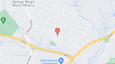
Ringwood on the map, United Kingdom
Where is located Ringwood
Exact location — Ringwood, Hampshire, England, UK, marked on the map with a red marker.
Coordinates
Ringwood, United Kingdom coordinates in decimal format: latitude — 50.844949, longitude — -1.788817. When converted to degrees, minutes, seconds Ringwood has the following coordinates: 50°50′41.82 north latitude and -1°47′19.74 east longitude.
Population
Ringwood, Hampshire, England, UK, according to our data the population is — 13,685 residents, which is about 0% of the total population of the country (United Kingdom).
Comparison of the population on the graph:
Exact time
Time zone for this location Ringwood — UTC +1 Europe/London. Exact time — friday, 4 april 2024 year, 18 h. 06 minutes.
Sunrise and sunset
Ringwood, sunrise and sunset data for a date — friday 26.04.2024.
| Sunrise | Sunset | Day (duration) |
|---|---|---|
| 05:53 -1 minute | 20:16 +1 minute | 14 h. 24 minutes. +2 minutes |
You can control the scale of the map using the auxiliary tools to find out exactly where it is located Ringwood. When you change the scale of the map, the width of the ruler also changes (in kilometers and miles).
Nearby cities
The largest cities that are located nearby:
- Bournemouth — 15 km
- Southampton — 28 km
- Portsmouth — 49 km
- Swindon — 79 km
- Bristol — 87 km
- Reading — 88 km
- Oxford — 107 km
- Slough — 110 km
- Crawley — 115 km
- Cheltenham — 118 km
- Exeter — 123 km
- Sutton — 124 km
- Watford — 131 km
- Eastbourne — 146 km
- Luton — 148 km
- Worcester — 152 km
- Northampton — 166 km
- Gillingham — 172 km
- Coventry — 174 km
Distance to neighboring capitals:
- Paris
 (France) — 370 km
 - Paris (France) — 370 km
- Dublin
 (Ireland) — 413 km
 - Brussels
 (Belgium) — 431 km
 - Amsterdam
 (Netherlands) — 492 km
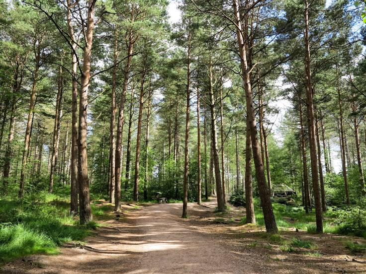
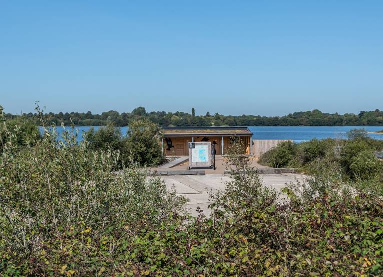
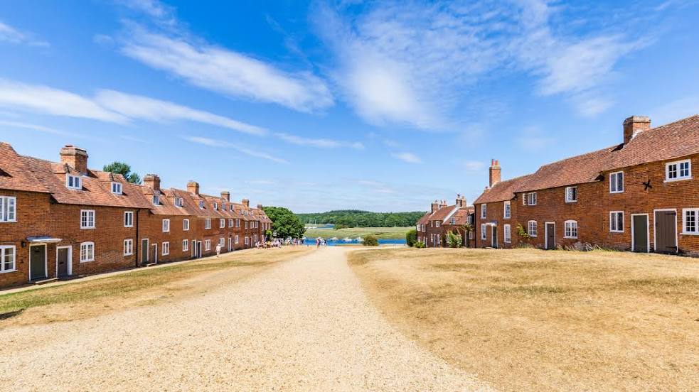
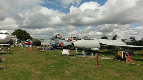
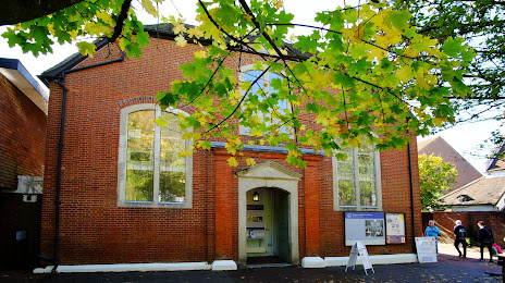
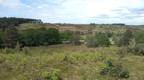
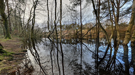
Attractions


Distance to the capital
Distance to the capital (London) is about — 137 km.