Kalmthout — Minderhout
Kalmthout — Alken
Kalmthout — Corbion
Kalmthout — Tillet
Kalmthout — Deux-Rys
Kalmthout — Molenbaix
Kalmthout — Bomal
Kalmthout — Opheylissem Castle
Kalmthout — Herstal
Kalmthout — Queue-du-Bois
Kalmthout — Awans
Kalmthout — Haacht
Kalmthout — Habâru
Kalmthout — Hermée
Kalmthout — Wellin
Kalmthout — Langemark
Kalmthout — Bleid
Kalmthout — Temse
Kalmthout — Ramillies
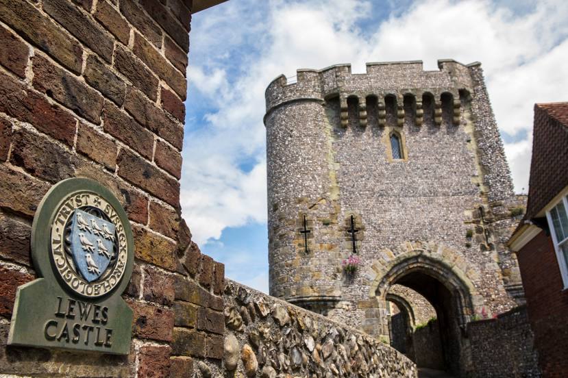
Kalmthout — Lewes distance, route on the map
Distance by car
Distance between Kalmthout, Flemish region, Belgium and Lewes, England, United Kingdom by car is — km, or miles. To travel this distance by car, you need minute, or h.
Route on the map, driving directions
Car route Kalmthout — Lewes was created automatically. The road on the map is shown as a blue line. By moving the markers, you can create a new route through the points you need.
Distance by plane
If you decide to take a trip Kalmthout Lewes by plane, then you have to fly the distance — 317 km or 197 miles. It is marked on the map with a gray line (between two points in a straight line).
Flight time
Estimated flight time Kalmthout Lewes by plane at cruising speed 750 km / h will be — 25 min.
Direction of movement
Belgium, Kalmthout — right-hand traffic. United Kingdom, Lewes — left-hand traffic.
Difference in time
Kalmthout and Lewes are in different time zones. The time difference is 1 hour (UTC +2 Europe/Brussels, UTC +1 Europe/London).
Interesting Facts
Information on alternative ways to get to your destination.
The length of this distance is about 0.8% of the total length of the equator.
The percentage of the population is clearly shown in the graph:
Kalmthout — 17,485, Lewes — 16,479 residents (less by 1,006).
The cost of travel
Calculate the cost of the trip yourself using the fuel consumption calculator, changing the data in the table.