 Alnwick
Cradley Heath
Loughborough
Bude
Hoff
Kirkham
Barking
Clovelly
Llandudno
Hereford
Monmouth
Abergavenny
Papil
Fife
Craigavon
Beeston
Poynton
Hathersage
Ashbourne
Alnwick
Cradley Heath
Loughborough
Bude
Hoff
Kirkham
Barking
Clovelly
Llandudno
Hereford
Monmouth
Abergavenny
Papil
Fife
Craigavon
Beeston
Poynton
Hathersage
Ashbourne
Lewes on the map, United Kingdom
Where is located Lewes
Exact location — Lewes, East Sussex, England, United Kingdom, marked on the map with a red marker.
Coordinates
Lewes, United Kingdom coordinates in decimal format: latitude — 50.873872, longitude — 0.00878. When converted to degrees, minutes, seconds Lewes has the following coordinates: 50°52′25.94 north latitude and 0°0′31.61 east longitude.
Population
Lewes, East Sussex, England, United Kingdom, according to our data the population is — 16,479 residents, which is about 0% of the total population of the country (United Kingdom).
Comparison of the population on the graph:
Exact time
Time zone for this location Lewes — UTC +1 Europe/London. Exact time — friday, 4 april 2024 year, 04 h. 23 minutes.
Sunrise and sunset
Lewes, sunrise and sunset data for a date — friday 26.04.2024.
| Sunrise | Sunset | Day (duration) |
|---|---|---|
| 05:45 -2 minutes | 20:09 +1 minute | 14 h. 24 minutes. +3 minutes |
You can control the scale of the map using the auxiliary tools to find out exactly where it is located Lewes. When you change the scale of the map, the width of the ruler also changes (in kilometers and miles).
Nearby cities
The largest cities that are located nearby:
- Eastbourne — 23 km
- Crawley — 29 km
- Sutton — 56 km
- Gillingham — 68 km
- Portsmouth — 77 km
- Slough — 82 km
- Basildon — 84 km
- Southend-on-Sea — 88 km
- Watford — 91 km
- Reading — 93 km
- Southampton — 99 km
- Chelmsford — 100 km
- Luton — 115 km
- Oxford — 130 km
- Bournemouth — 133 km
- Swindon — 144 km
- Cambridge — 147 km
- Ipswich — 152 km
- Le Havre
 (France) — 153 km
Distance to neighboring capitals:
- Paris (France) — 280 km
- Paris (France) — 280 km
- Brussels
 (Belgium) — 305 km
 - Amsterdam
 (Netherlands) — 376 km
 - Dublin
 (Ireland) — 509 km
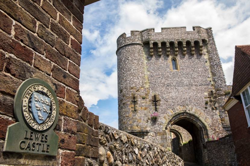
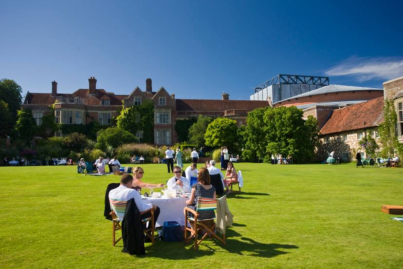
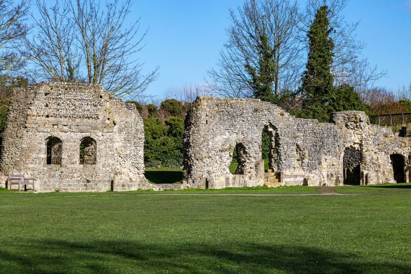
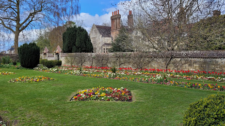
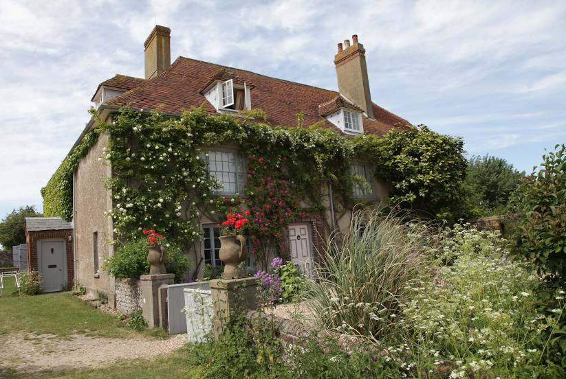
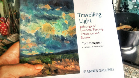
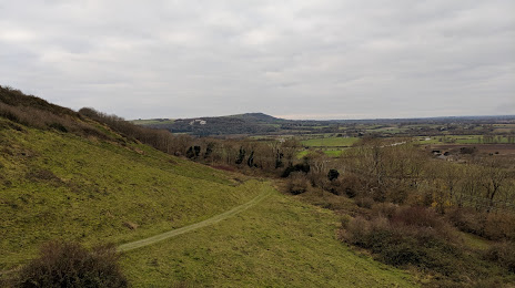
Attractions


Distance to the capital
Distance to the capital (London) is about — 71 km.