St Ives — Brechin
St Ives — Bryanston
St Ives — Annahilt
St Ives — Wootton Wawen
St Ives — Buxton
St Ives — Dartford
St Ives — Paisley
St Ives — Ardrishaig
St Ives — Market Warsop
St Ives — Scorton
St Ives — Little Somborne
St Ives — Newbiggin-on-Lune
St Ives — Castle Caereinion
St Ives — Ramsbury
St Ives — Birmingham
St Ives — Sutton
St Ives — Congleton
St Ives — Hugglescote
St Ives — Cambridgeshire
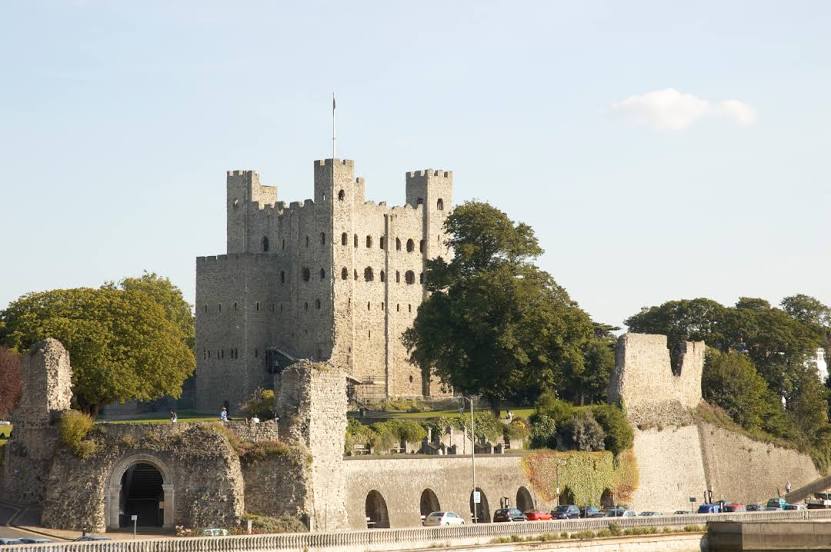
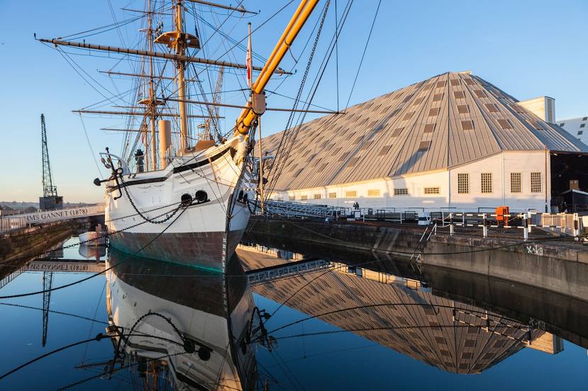
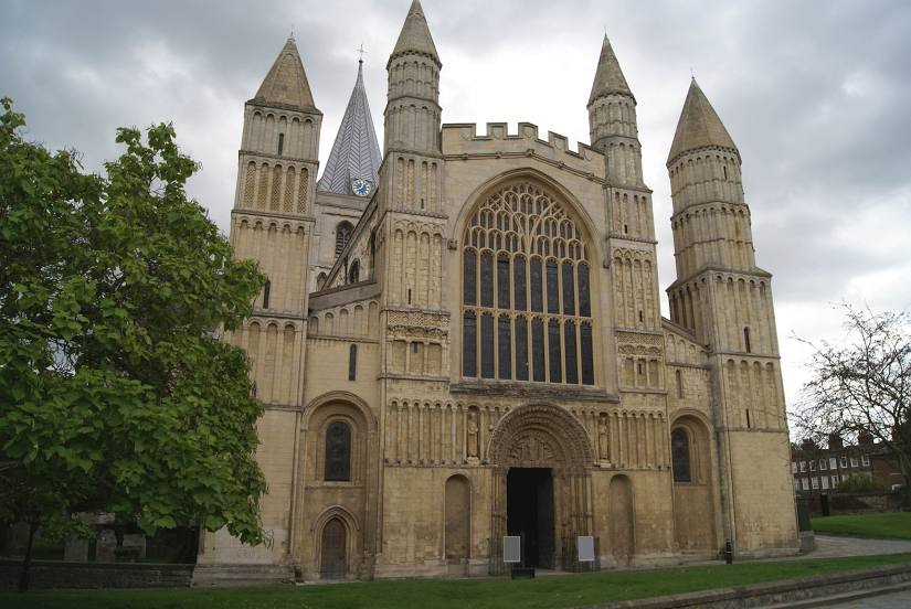
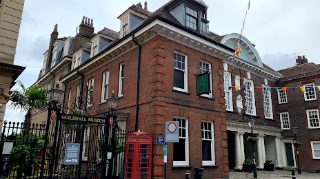
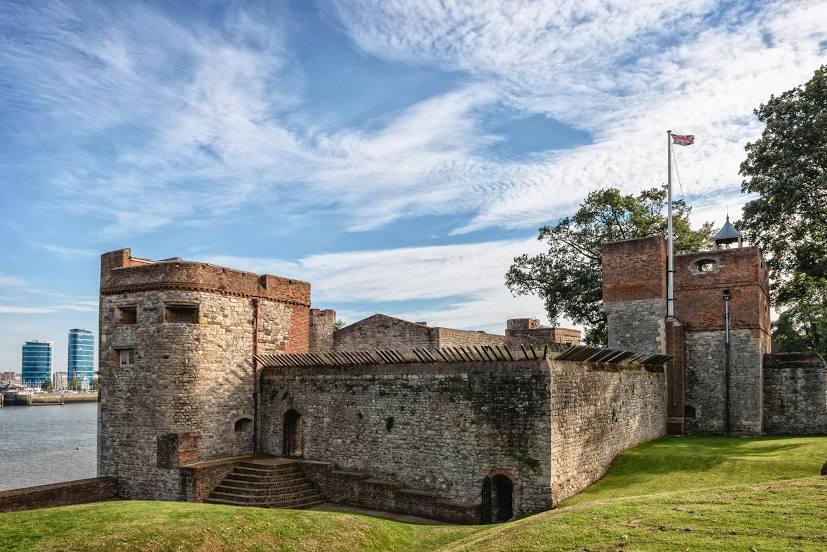
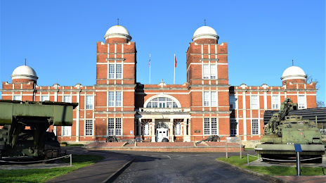
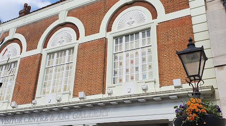
St Ives — Rochester distance, route on the map
Distance by car
Distance between St Ives, England, United Kingdom and Rochester, England, United Kingdom by car is — km, or miles. To travel this distance by car, you need minute, or h.
Route on the map, driving directions
Car route St Ives — Rochester was created automatically. The road on the map is shown as a blue line. By moving the markers, you can create a new route through the points you need.
Distance by plane
If you decide to take a trip St Ives Rochester by plane, then you have to fly the distance — 441 km or 273 miles. It is marked on the map with a gray line (between two points in a straight line).
Flight time
Estimated flight time St Ives Rochester by plane at cruising speed 750 km / h will be — 35 min.
Direction of movement
United Kingdom, St Ives — left-hand traffic. United Kingdom, Rochester — left-hand traffic.
Difference in time
St Ives and Rochester are in the same time zone. Between them there is no time difference (UTC +1 Europe/London).
Interesting Facts
Information on alternative ways to get to your destination.
The length of this distance is about 1.1% of the total length of the equator.
The percentage of the population is clearly shown in the graph:
St Ives — 11,165 (less by 17,506), Rochester — 28,671 residents.
The cost of travel
Calculate the cost of the trip yourself using the fuel consumption calculator, changing the data in the table.