Brighton — Thorne
Brighton — Buckie
Brighton — Northallerton
Brighton — West Bromwich
Brighton — Comp
Brighton — Chatteris
Brighton — Cradley Heath
Brighton — Armagh
Brighton — Rothienorman
Brighton — Newburgh
Brighton — Southport
Brighton — Chester
Brighton — Avington
Brighton — Norwich
Brighton — Grampound
Brighton — Mortehoe
Brighton — Newtownabbey
Brighton — Leicester
Brighton — Balloch
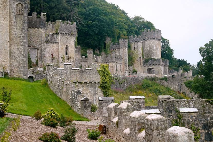
Brighton — Rhyl distance, route on the map
Distance by car
Distance between Brighton, England, United Kingdom and Rhyl, Wales, United Kingdom by car is — km, or miles. To travel this distance by car, you need minute, or h.
Route on the map, driving directions
Car route Brighton — Rhyl was created automatically. The road on the map is shown as a blue line. By moving the markers, you can create a new route through the points you need.
Distance by plane
If you decide to take a trip Brighton Rhyl by plane, then you have to fly the distance — 360 km or 223 miles. It is marked on the map with a gray line (between two points in a straight line).
Flight time
Estimated flight time Brighton Rhyl by plane at cruising speed 750 km / h will be — 28 min.
Direction of movement
United Kingdom, Brighton — left-hand traffic. United Kingdom, Rhyl — left-hand traffic.
Difference in time
Brighton and Rhyl are in the same time zone. Between them there is no time difference (UTC +1 Europe/London).
Interesting Facts
Information on alternative ways to get to your destination.
The length of this distance is about 0.9% of the total length of the equator.
The percentage of the population is clearly shown in the graph:
Brighton — 139,001, Rhyl — 25,874 residents (less by 113,127).
The cost of travel
Calculate the cost of the trip yourself using the fuel consumption calculator, changing the data in the table.