 Holmes Chapel
Berkeley
Kendal
Marham
Portmeirion
Blackburn
Forth
Saint Albans
Sutton
Winsor
Edinburgh
Deal
Brighton
Cheshunt
Olney
Canterbury
Milford on Sea
St Austell
Bristol
Holmes Chapel
Berkeley
Kendal
Marham
Portmeirion
Blackburn
Forth
Saint Albans
Sutton
Winsor
Edinburgh
Deal
Brighton
Cheshunt
Olney
Canterbury
Milford on Sea
St Austell
Bristol
Wrexham on the map, United Kingdom
Where is located Wrexham
Exact location — Wrexham, Wrexham, Wales, United Kingdom, marked on the map with a red marker.
Coordinates
Wrexham, United Kingdom coordinates in decimal format: latitude — 53.04304, longitude — -2.992494. When converted to degrees, minutes, seconds Wrexham has the following coordinates: 53°2′34.94 north latitude and -2°59′32.98 east longitude.
Population
Wrexham, Wrexham, Wales, United Kingdom, according to our data the population is — 43,649 residents, which is about 0.1% of the total population of the country (United Kingdom).
Comparison of the population on the graph:
Exact time
Time zone for this location Wrexham — UTC +1 Europe/London. Exact time — sunday, 4 april 2024 year, 13 h. 15 minutes.
Sunrise and sunset
Wrexham, sunrise and sunset data for a date — sunday 28.04.2024.
| Sunrise | Sunset | Day (duration) |
|---|---|---|
| 05:47 -2 minutes | 20:31 +2 minutes | 14 h. 42 minutes. +4 minutes |
You can control the scale of the map using the auxiliary tools to find out exactly where it is located Wrexham. When you change the scale of the map, the width of the ruler also changes (in kilometers and miles).
Nearby cities
The largest cities that are located nearby:
- Liverpool — 40 km
- Stoke-on-Trent — 54 km
- Telford — 55 km
- Manchester — 69 km
- Preston — 82 km
- Blackburn — 85 km
- Dudley — 85 km
- West Bromwich — 89 km
- Sutton Coldfield — 94 km
- Birmingham — 96 km
- Huddersfield — 103 km
- Sheffield — 107 km
- Worcester — 107 km
- Rotherham — 116 km
- Coventry — 122 km
- Leicester — 132 km
- Cheltenham — 141 km
- Northampton — 167 km
- Bristol — 178 km
Distance to neighboring capitals:
- Dublin
 (Ireland) — 220 km
 - Amsterdam
 (Netherlands) — 537 km
 - Brussels
 (Belgium) — 559 km
 - Paris
 (France) — 597 km
 - Paris (France) — 597 km
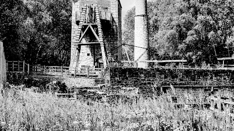
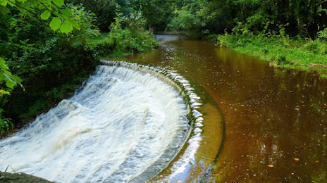
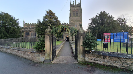
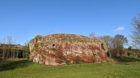
Attractions


Distance to the capital
Distance to the capital (London) is about — 259 km.