 Coatbridge
Lincoln
Dingwall
Kyleakin
Totnes
Arbroath
Midhurst
Scarborough
Lopen
Holbeck
Thetford
Kinross
Great Yarmouth
Poole
Sidmouth
Sandford
Morden
Doncaster
Wrexham
Coatbridge
Lincoln
Dingwall
Kyleakin
Totnes
Arbroath
Midhurst
Scarborough
Lopen
Holbeck
Thetford
Kinross
Great Yarmouth
Poole
Sidmouth
Sandford
Morden
Doncaster
Wrexham
Sutton on the map, United Kingdom
Where is located Sutton
Exact location — Sutton, Greater London, England, United Kingdom, marked on the map with a red marker.
Coordinates
Sutton, United Kingdom coordinates in decimal format: latitude — 51.3614279, longitude — -0.193961. When converted to degrees, minutes, seconds Sutton has the following coordinates: 51°21′41.14 north latitude and -0°11′38.26 east longitude.
Population
Sutton, Greater London, England, United Kingdom, according to our data the population is — 187,600 residents, which is about 0.3% of the total population of the country (United Kingdom).
Comparison of the population on the graph:
Exact time
Time zone for this location Sutton — UTC +1 Europe/London. Exact time — wednesday, 5 may 2024 year, 16 h. 37 minutes.
Sunrise and sunset
Sutton, sunrise and sunset data for a date — wednesday 8.05.2024.
| Sunrise | Sunset | Day (duration) |
|---|---|---|
| 05:23 -2 minutes | 20:30 +1 minute | 15 h. 6 minutes. +3 minutes |
You can control the scale of the map using the auxiliary tools to find out exactly where it is located Sutton. When you change the scale of the map, the width of the ruler also changes (in kilometers and miles).
Nearby cities
The largest cities that are located nearby:
- Crawley — 28 km
- Slough — 32 km
- Watford — 35 km
- Gillingham — 52 km
- Basildon — 53 km
- Reading — 55 km
- Luton — 59 km
- Chelmsford — 61 km
- Southend-on-Sea — 65 km
- Eastbourne — 74 km
- Oxford — 85 km
- Portsmouth — 87 km
- Cambridge — 96 km
- Southampton — 98 km
- Northampton — 108 km
- Swindon — 111 km
- Ipswich — 119 km
- Bournemouth — 138 km
- Cheltenham — 142 km
Distance to neighboring capitals:
- Brussels
 (Belgium) — 322 km
 - Paris
 (France) — 333 km
 - Paris (France) — 333 km
- Amsterdam
 (Netherlands) — 367 km
 - Dublin
 (Ireland) — 467 km
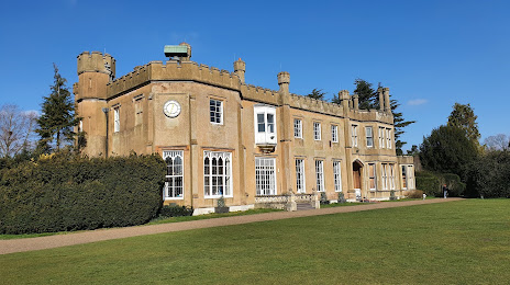
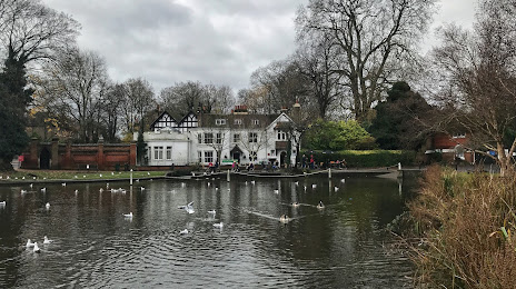
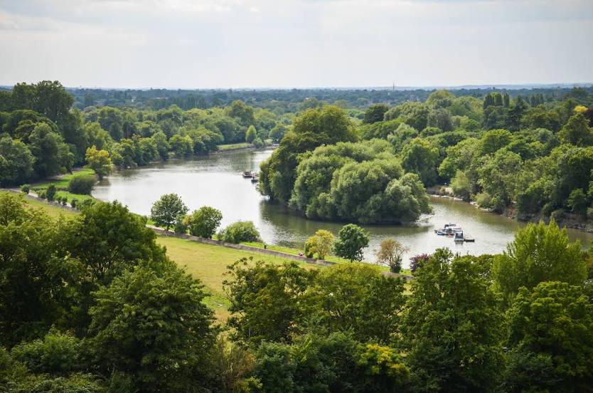
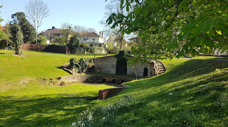
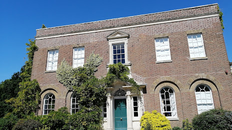
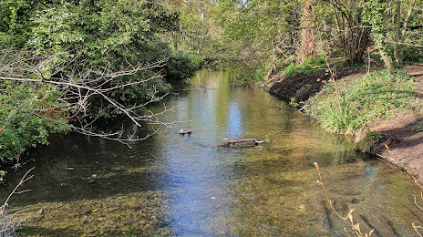
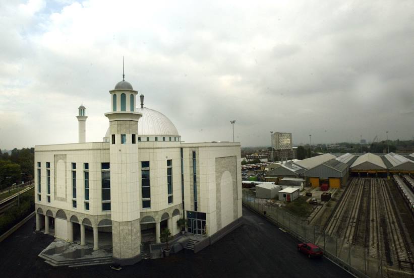
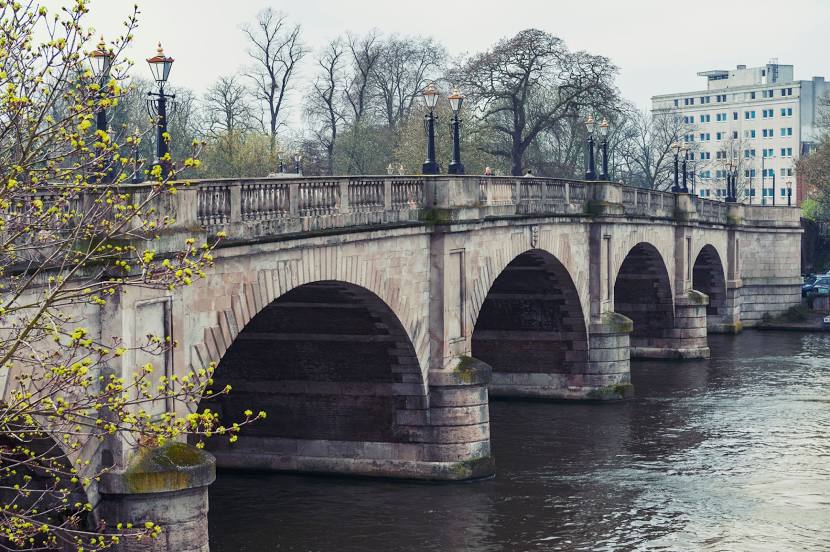
Attractions


Distance to the capital
Distance to the capital (London) is about — 17 km.