
 Lecce
Monza
Montoggio
Ischia
Zola Predosa
Cremona
Follonica
Secugnago
Borgomanero
Rapallo
Latina
Sesto
Sesto San Giovanni
Castiglione delle Stiviere
Como
Naples
Catania
Verona
Lainate
Lecce
Monza
Montoggio
Ischia
Zola Predosa
Cremona
Follonica
Secugnago
Borgomanero
Rapallo
Latina
Sesto
Sesto San Giovanni
Castiglione delle Stiviere
Como
Naples
Catania
Verona
Lainate
Carpi on the map, Italy
Where is located Carpi
Exact location — Carpi, Modena, Emilia-Romagna, Italy, marked on the map with a red marker.
Coordinates
Carpi, Italy coordinates in decimal format: latitude — 44.7838779, longitude — 10.8796629. When converted to degrees, minutes, seconds Carpi has the following coordinates: 44°47′1.96 north latitude and 10°52′46.79 east longitude.
Population
Carpi, Modena, Emilia-Romagna, Italy, according to our data the population is — 63,336 residents, which is about 0.1% of the total population of the country (Italy).
Comparison of the population on the graph:
Exact time
Time zone for this location Carpi — UTC +2 Europe/Rome. Exact time — saturday, 7 july 2024 year, 23 h. 04 minutes.
Sunrise and sunset
Carpi, sunrise and sunset data for a date — saturday 13.07.2024.
| Sunrise | Sunset | Day (duration) |
|---|---|---|
| 05:47 +1 minute | 20:57 -0 minutes | 15 h. 12 minutes. -1 minute |
You can control the scale of the map using the auxiliary tools to find out exactly where it is located Carpi. When you change the scale of the map, the width of the ruler also changes (in kilometers and miles).
Nearby cities
The largest cities that are located nearby:
- Modena — 15 km
- Parma — 43 km
- Bologna — 49 km
- Ferrara — 58 km
- Verona — 73 km
- Vicenza — 98 km
- Brescia — 98 km
- Prato — 102 km
- Forli — 111 km
- Ravenna — 112 km
- Florence — 116 km
- Venice — 133 km
- Bergamo — 137 km
- Trento — 143 km
- Livorno — 144 km
- Milan — 151 km
- Monza — 153 km
- Rimini — 156 km
- Genoa — 158 km
Distance to neighboring capitals:
- Vaduz
 (Liechtenstein) — 282 km
 - Ljubljana
 (Slovenia) — 316 km
 - Bern
 (Switzerland) — 359 km
 - Zagreb
 (Croatia) — 415 km
 - Vienna
 (Austria) — 567 km
 - Paris
 (France) — 791 km
 - Paris (France) — 791 km
- Berlin
 (Germany) — 880 km
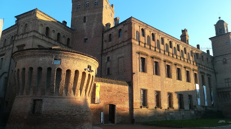
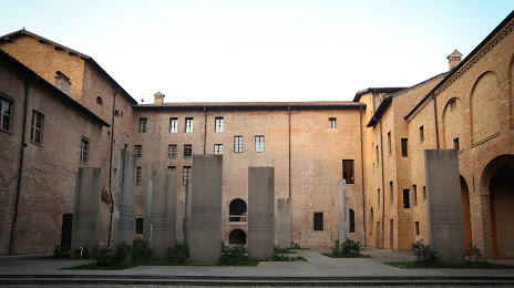
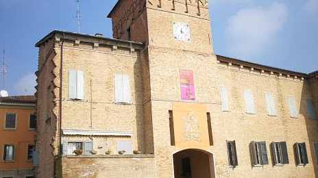
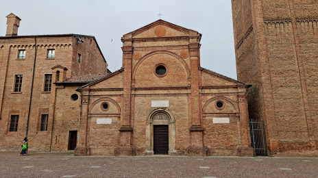
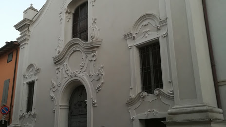
Attractions


Distance to the capital
Distance to the capital (Rome) is about — 346 km.