
 Farnese
Potenza
Salerno
Savona
La Spezia
Lecco
Collecchio
Bergamo
Terni
Trieste
Bottanuco
Foligno
Este
Modena
Bari
Carpi
Florence
Vimercate
Taranto
Farnese
Potenza
Salerno
Savona
La Spezia
Lecco
Collecchio
Bergamo
Terni
Trieste
Bottanuco
Foligno
Este
Modena
Bari
Carpi
Florence
Vimercate
Taranto
Cremona on the map, Italy
Where is located Cremona
Exact location — Cremona, Cremona, Lombardia, Italy, marked on the map with a red marker.
Coordinates
Cremona, Italy coordinates in decimal format: latitude — 45.133249, longitude — 10.0226511. When converted to degrees, minutes, seconds Cremona has the following coordinates: 45°7′59.7 north latitude and 10°1′21.54 east longitude.
Population
Cremona, Cremona, Lombardia, Italy, according to our data the population is — 70,748 residents, which is about 0.1% of the total population of the country (Italy).
Comparison of the population on the graph:
Exact time
Time zone for this location Cremona — UTC +2 Europe/Rome. Exact time — sunday, 7 july 2024 year, 05 h. 18 minutes.
Sunrise and sunset
Cremona, sunrise and sunset data for a date — sunday 7.07.2024.
| Sunrise | Sunset | Day (duration) |
|---|---|---|
| 05:44 -0 minutes | 21:05 -0 minutes | 15 h. 24 minutes. -0 minutes |
You can control the scale of the map using the auxiliary tools to find out exactly where it is located Cremona. When you change the scale of the map, the width of the ruler also changes (in kilometers and miles).
Nearby cities
The largest cities that are located nearby:
- Parma — 44 km
- Brescia — 47 km
- Bergamo — 68 km
- Milan — 75 km
- Monza — 76 km
- Verona — 82 km
- Modena — 89 km
- Novara — 114 km
- Genoa — 117 km
- Vicenza — 126 km
- Bologna — 126 km
- Ferrara — 129 km
- Trento — 133 km
- Prato — 163 km
- Livorno — 177 km
- Florence — 180 km
- Venice — 181 km
- Turin — 183 km
- Forli — 189 km
Distance to neighboring capitals:
- Vaduz
 (Liechtenstein) — 227 km
 - Bern
 (Switzerland) — 283 km
 - Ljubljana
 (Slovenia) — 364 km
 - Zagreb
 (Croatia) — 471 km
 - Vienna
 (Austria) — 593 km
 - Paris
 (France) — 714 km
 - Paris (France) — 714 km
- Berlin
 (Germany) — 858 km
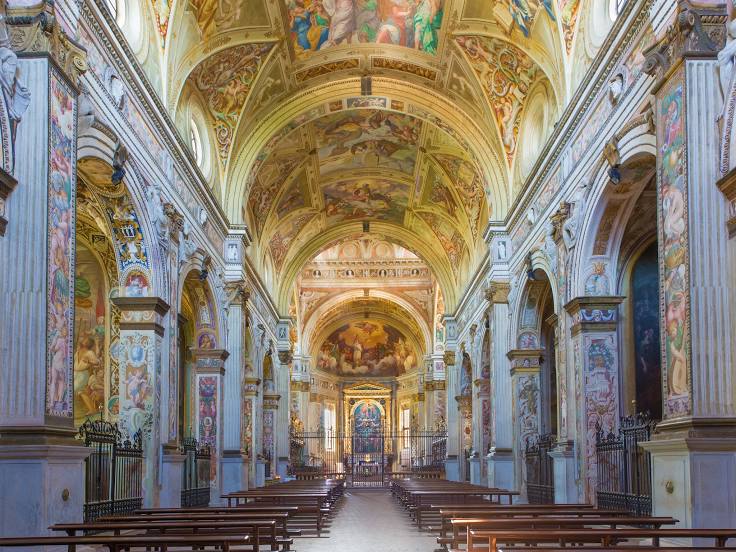
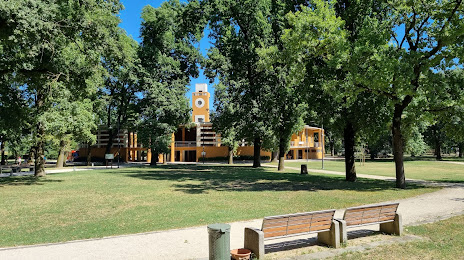
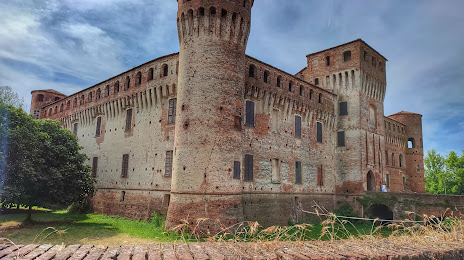
Attractions


Distance to the capital
Distance to the capital (Rome) is about — 411 km.