
 Zola Predosa
Cremona
Follonica
Secugnago
Borgomanero
Bologna
Lucca
Castelfranco Emilia
Postal
Cuneo
Novara
Genoa
Ascoli Piceno
Rapallo
Latina
Sesto
Sesto San Giovanni
Castiglione delle Stiviere
Como
Zola Predosa
Cremona
Follonica
Secugnago
Borgomanero
Bologna
Lucca
Castelfranco Emilia
Postal
Cuneo
Novara
Genoa
Ascoli Piceno
Rapallo
Latina
Sesto
Sesto San Giovanni
Castiglione delle Stiviere
Como
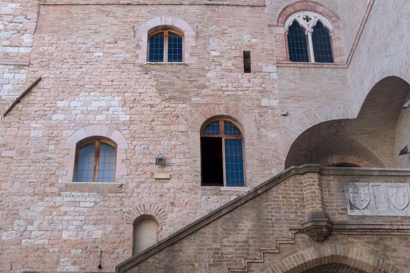
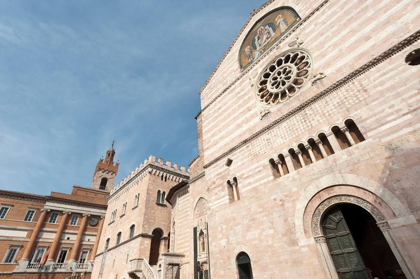
Foligno on the map, Italy
Where is located Foligno
Exact location — Foligno, Perugia, Umbria, Italy, marked on the map with a red marker.
Coordinates
Foligno, Italy coordinates in decimal format: latitude — 42.9508683, longitude — 12.7014749. When converted to degrees, minutes, seconds Foligno has the following coordinates: 42°57′3.13 north latitude and 12°42′5.31 east longitude.
Population
Foligno, Perugia, Umbria, Italy, according to our data the population is — 50,616 residents, which is about 0.1% of the total population of the country (Italy).
Comparison of the population on the graph:
Exact time
Time zone for this location Foligno — UTC +2 Europe/Rome. Exact time — saturday, 7 july 2024 year, 22 h. 57 minutes.
Sunrise and sunset
Foligno, sunrise and sunset data for a date — saturday 13.07.2024.
| Sunrise | Sunset | Day (duration) |
|---|---|---|
| 05:46 +1 minute | 20:43 -1 minute | 15 h. 0 minutes. -2 minutes |
You can control the scale of the map using the auxiliary tools to find out exactly where it is located Foligno. When you change the scale of the map, the width of the ruler also changes (in kilometers and miles).
Nearby cities
The largest cities that are located nearby:
- Perugia — 31 km
- Terni — 43 km
- Ancona — 98 km
- Rimini — 124 km
- Pescara — 135 km
- Florence — 147 km
- Forli — 150 km
- Prato — 164 km
- Latina — 165 km
- Ravenna — 167 km
- Bologna — 202 km
- Livorno — 203 km
- Ferrara — 225 km
- Modena — 234 km
- Giugliano in Campania — 256 km
- Naples — 267 km
- Parma — 277 km
- Venice — 277 km
- Foggia — 287 km
Distance to neighboring capitals:
- Ljubljana
 (Slovenia) — 374 km
 - Zagreb
 (Croatia) — 412 km
 - Vaduz
 (Liechtenstein) — 529 km
 - Bern
 (Switzerland) — 607 km
 - Vienna
 (Austria) — 651 km
 - Paris
 (France) — 1034 km
 - Paris (France) — 1034 km
- Berlin
 (Germany) — 1066 km
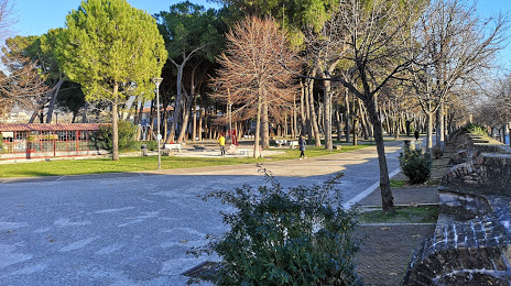
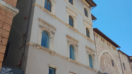
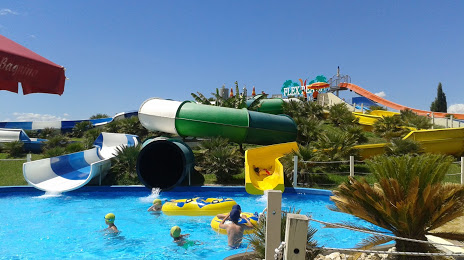
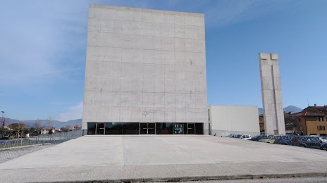
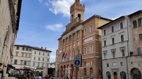
Attractions


Distance to the capital
Distance to the capital (Rome) is about — 118 km.