Winchester — West Midlands
Winchester — Hartpury
Winchester — Kyleakin
Winchester — Liphook
Winchester — Wylde Green
Winchester — Cambridgeshire
Winchester — Llanrug
Winchester — London
Winchester — Chesham
Winchester — Strathblane
Winchester — Boston
Winchester — Grafton Flyford
Winchester — Milton Damerel
Winchester — Ludchurch
Winchester — Hanworth
Winchester — Padstow
Winchester — Fenny Stratford
Winchester — Seghill
Winchester — Livingston
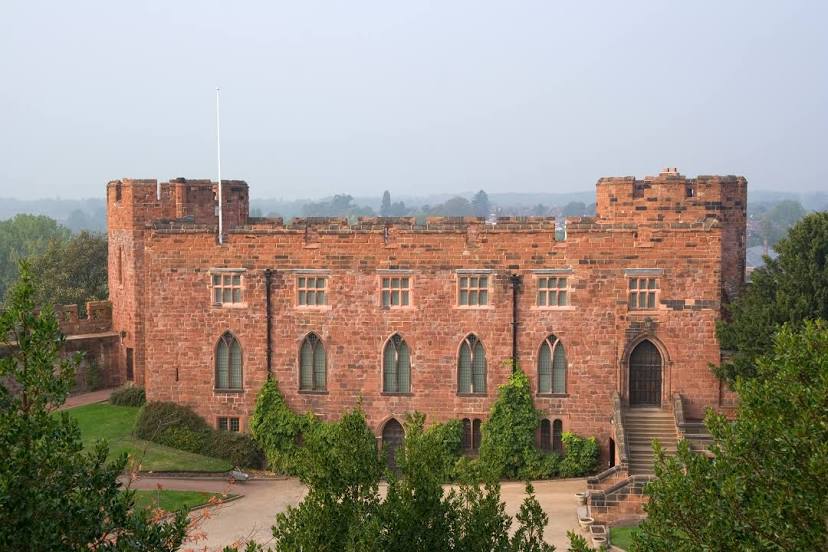
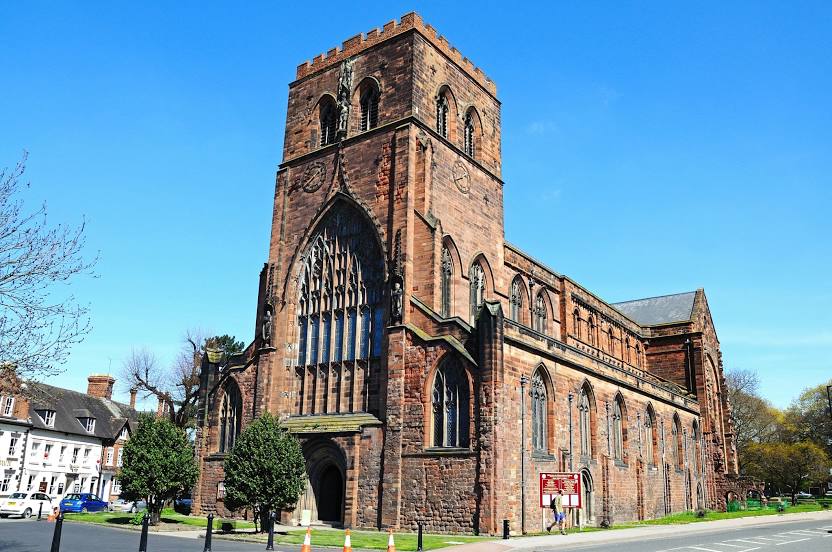
Winchester — Shrewsbury distance, route on the map
Distance by car
Distance between Winchester, England, United Kingdom and Shrewsbury, England, United Kingdom by car is — km, or miles. To travel this distance by car, you need minute, or h.
Route on the map, driving directions
Car route Winchester — Shrewsbury was created automatically. The road on the map is shown as a blue line. By moving the markers, you can create a new route through the points you need.
Distance by plane
If you decide to take a trip Winchester Shrewsbury by plane, then you have to fly the distance — 208 km or 129 miles. It is marked on the map with a gray line (between two points in a straight line).
Flight time
Estimated flight time Winchester Shrewsbury by plane at cruising speed 750 km / h will be — 16 min.
Direction of movement
United Kingdom, Winchester — left-hand traffic. United Kingdom, Shrewsbury — left-hand traffic.
Difference in time
Winchester and Shrewsbury are in the same time zone. Between them there is no time difference (UTC +1 Europe/London).
Interesting Facts
Information on alternative ways to get to your destination.
The length of this distance is about 0.5% of the total length of the equator.
The percentage of the population is clearly shown in the graph:
Winchester — 40,000 (less by 29,519), Shrewsbury — 69,519 residents.
The cost of travel
Calculate the cost of the trip yourself using the fuel consumption calculator, changing the data in the table.
Calculate the cost of other distances from the starting point — Winchester.