
 Santa Ana Pueblo
Zap
Seminary
North Pole
Newcastle
Fola
Sarah
Dallas
Avery
Calcasieu
Hot Springs Village
Claremont
Concord
Croydon
Forest
Woodbury
Pinson
Regan
Pelham Manor
Santa Ana Pueblo
Zap
Seminary
North Pole
Newcastle
Fola
Sarah
Dallas
Avery
Calcasieu
Hot Springs Village
Claremont
Concord
Croydon
Forest
Woodbury
Pinson
Regan
Pelham Manor
Kaysville on the map, United States
Where is located Kaysville
Exact location — Kaysville, Davis County, Utah, United States, marked on the map with a red marker.
Coordinates
Kaysville, United States coordinates in decimal format: latitude — 41.0352216, longitude — -111.9385521. When converted to degrees, minutes, seconds Kaysville has the following coordinates: 41°2′6.8 north latitude and -111°56′18.79 east longitude.
Population
Kaysville, Davis County, Utah, United States, according to our data the population is — 27,300 residents, which is about 0% of the total population of the country (United States).
Comparison of the population on the graph:
Exact time
Time zone for this location Kaysville — UTC -6 America/Denver. Exact time — tuesday, 5 may 2024 year, 09 h. 25 minutes.
Sunrise and sunset
Kaysville, sunrise and sunset data for a date — tuesday 21.05.2024.
| Sunrise | Sunset | Day (duration) |
|---|---|---|
| 06:07 -1 minute | 20:41 +1 minute | 14 h. 36 minutes. +2 minutes |
You can control the scale of the map using the auxiliary tools to find out exactly where it is located Kaysville. When you change the scale of the map, the width of the ruler also changes (in kilometers and miles).
Nearby cities
The largest cities that are located nearby:
- Salt Lake City — 31 km
- West Valley City — 38 km
- West Jordan — 47 km
- Provo — 92 km
- Boise — 446 km
- Fort Collins — 578 km
- Arvada — 598 km
- Westminster — 601 km
- Lakewood — 602 km
- Thornton — 605 km
- North Las Vegas — 605 km
- Denver — 608 km
- Las Vegas — 609 km
- Henderson — 616 km
- Spring Valley — 620 km
- Aurora — 621 km
- Colorado Springs — 660 km
- Reno — 692 km
- Pueblo — 707 km
Distance to neighboring capitals:
- Mexico City
 (Mexico) — 2692 km
 - Ottawa
 (Canada) — 2952 km
 - Belmopan
 (Belize) — 3451 km
 - Guatemala City
 (Guatemala) — 3593 km
 - Nuuk
 (Greenland) — 4565 km
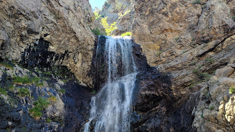
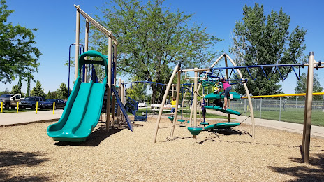
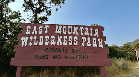
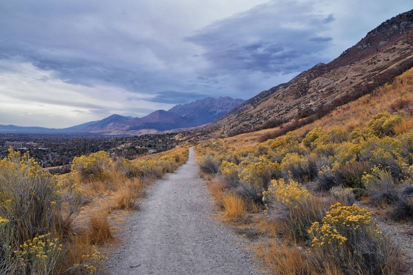
Attractions

Distance to the capital
Distance to the capital (Washington) is about — 2965 km.