 Carnlough
Keady
Gatwick Airport
West Bromwich
Harwich
Shedfield
Gwithian
Westerham
Eastbourne
Chester
Derby
Dartmouth
Rode
Looe
Scarborough
Pembrokeshire
Llangefni
Blackburn
Durham
Carnlough
Keady
Gatwick Airport
West Bromwich
Harwich
Shedfield
Gwithian
Westerham
Eastbourne
Chester
Derby
Dartmouth
Rode
Looe
Scarborough
Pembrokeshire
Llangefni
Blackburn
Durham
Newry on the map, United Kingdom
Where is located Newry
Exact location — Newry, Newry and Mourne, Northern Ireland, United Kingdom, marked on the map with a red marker.
Coordinates
Newry, United Kingdom coordinates in decimal format: latitude — 54.1751024, longitude — -6.3402299. When converted to degrees, minutes, seconds Newry has the following coordinates: 54°10′30.37 north latitude and -6°20′24.83 east longitude.
Population
Newry, Newry and Mourne, Northern Ireland, United Kingdom, according to our data the population is — 27,757 residents, which is about 0% of the total population of the country (United Kingdom).
Comparison of the population on the graph:
Exact time
Time zone for this location Newry — UTC +1 Europe/London. Exact time — monday, 4 april 2024 year, 03 h. 55 minutes.
Sunrise and sunset
Newry, sunrise and sunset data for a date — monday 29.04.2024.
| Sunrise | Sunset | Day (duration) |
|---|---|---|
| 05:55 -2 minutes | 20:49 +1 minute | 14 h. 54 minutes. +3 minutes |
You can control the scale of the map using the auxiliary tools to find out exactly where it is located Newry. When you change the scale of the map, the width of the ruler also changes (in kilometers and miles).
Nearby cities
The largest cities that are located nearby:
- Belfast — 54 km
- Dublin
 (Ireland) — 91 km
 - Glasgow — 227 km
- Liverpool — 236 km
- Preston — 242 km
- Blackburn — 256 km
- Edinburgh — 277 km
- Manchester — 280 km
- Cork (Ireland) — 291 km
- Huddersfield — 304 km
- Stoke-on-Trent — 306 km
- Telford — 309 km
- Sunderland — 325 km
- Sheffield — 333 km
- Rotherham — 338 km
- Dudley — 341 km
- West Bromwich — 345 km
- Sutton Coldfield — 352 km
- Birmingham — 353 km
Distance to neighboring capitals:
- Dublin (Ireland) — 92 km
- Amsterdam
 (Netherlands) — 773 km
 - Brussels
 (Belgium) — 812 km
 - Paris
 (France) — 843 km
 - Paris (France) — 843 km
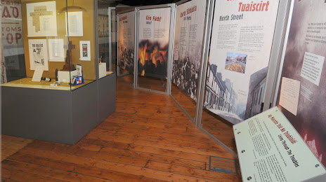
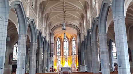
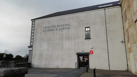
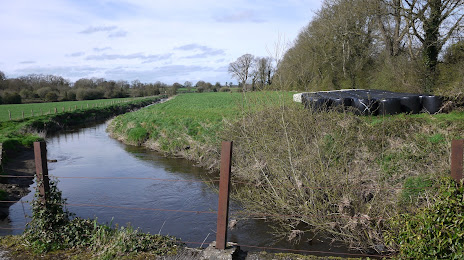
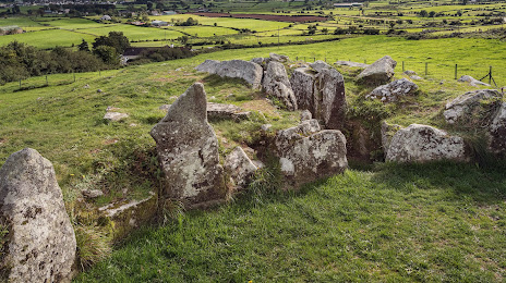
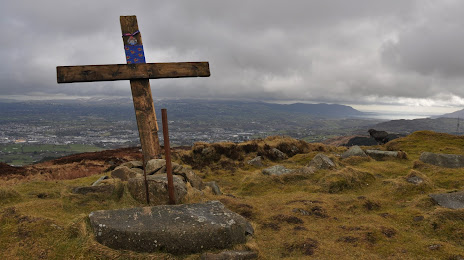
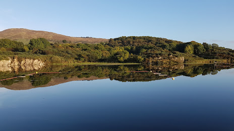
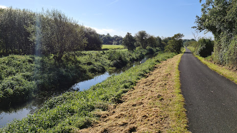
Attractions

Distance to the capital
Distance to the capital (London) is about — 512 km.