 Shedfield
Gwithian
Westerham
Eastbourne
Freshford
Knook
Epping
Maidstone
New Romney
Bromley
Dunkeld
Londonderry
Londonderry
Pickering
Chester
Derby
Dartmouth
Rode
Looe
Shedfield
Gwithian
Westerham
Eastbourne
Freshford
Knook
Epping
Maidstone
New Romney
Bromley
Dunkeld
Londonderry
Londonderry
Pickering
Chester
Derby
Dartmouth
Rode
Looe
Bromsgrove on the map, United Kingdom
Where is located Bromsgrove
Exact location — Bromsgrove, Worcestershire, England, United Kingdom, marked on the map with a red marker.
Coordinates
Bromsgrove, United Kingdom coordinates in decimal format: latitude — 52.335589, longitude — -2.061906. When converted to degrees, minutes, seconds Bromsgrove has the following coordinates: 52°20′8.12 north latitude and -2°3′42.86 east longitude.
Population
Bromsgrove, Worcestershire, England, United Kingdom, according to our data the population is — 29,237 residents, which is about 0% of the total population of the country (United Kingdom).
Comparison of the population on the graph:
Exact time
Time zone for this location Bromsgrove — UTC +1 Europe/London. Exact time — friday, 4 april 2024 year, 07 h. 30 minutes.
Sunrise and sunset
Bromsgrove, sunrise and sunset data for a date — friday 26.04.2024.
| Sunrise | Sunset | Day (duration) |
|---|---|---|
| 05:50 -2 minutes | 20:21 +1 minute | 14 h. 30 minutes. +3 minutes |
You can control the scale of the map using the auxiliary tools to find out exactly where it is located Bromsgrove. When you change the scale of the map, the width of the ruler also changes (in kilometers and miles).
Nearby cities
The largest cities that are located nearby:
- Worcester — 19 km
- Dudley — 20 km
- Birmingham — 20 km
- West Bromwich — 21 km
- Sutton Coldfield — 30 km
- Coventry — 37 km
- Telford — 46 km
- Cheltenham — 48 km
- Leicester — 70 km
- Stoke-on-Trent — 74 km
- Northampton — 79 km
- Oxford — 85 km
- Swindon — 88 km
- Bristol — 104 km
- Sheffield — 122 km
- Reading — 123 km
- Luton — 123 km
- Manchester — 127 km
- Rotherham — 130 km
Distance to neighboring capitals:
- Dublin
 (Ireland) — 304 km
 - Amsterdam
 (Netherlands) — 472 km
 - Brussels
 (Belgium) — 473 km
 - Paris
 (France) — 497 km
 - Paris (France) — 497 km
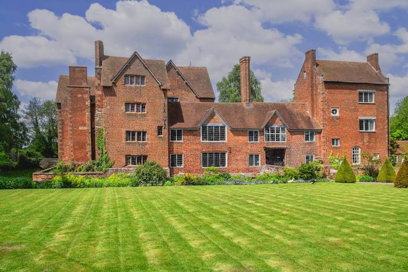
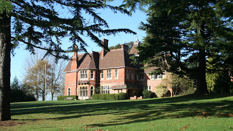
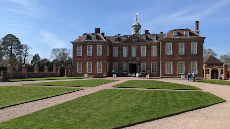
Attractions


Distance to the capital
Distance to the capital (London) is about — 162 km.