
 La Selva
Igollo
Cintruénigo
Benejúzar
Balboa
Cala
Cuesta
Flores de Ávila
Oria
Ontinyent
Masquefa
El Burgo de Osma
Sant Andreu
Premià de Dalt
Santa Coloma de Gramenet
Arroyo de San Serván
Morata de Jalón
Sant Julià de Ramis
Maià de Montcal
La Selva
Igollo
Cintruénigo
Benejúzar
Balboa
Cala
Cuesta
Flores de Ávila
Oria
Ontinyent
Masquefa
El Burgo de Osma
Sant Andreu
Premià de Dalt
Santa Coloma de Gramenet
Arroyo de San Serván
Morata de Jalón
Sant Julià de Ramis
Maià de Montcal
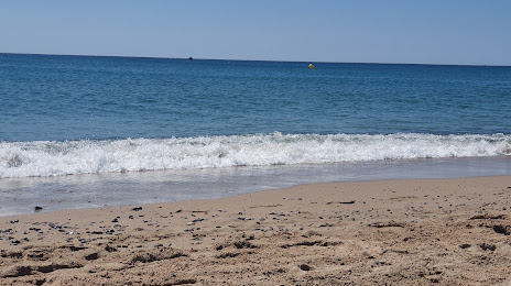
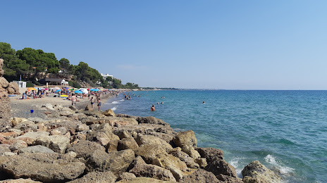
Cambrils on the map, Spain
Where is located Cambrils
Exact location — Cambrils, Tarragona, Catalunya, Spain, marked on the map with a red marker.
Coordinates
Cambrils, Spain coordinates in decimal format: latitude — 41.0666754, longitude — 1.0603606. When converted to degrees, minutes, seconds Cambrils has the following coordinates: 41°4′0.03 north latitude and 1°3′37.3 east longitude.
Population
Cambrils, Tarragona, Catalunya, Spain, according to our data the population is — 23,833 residents, which is about 0.1% of the total population of the country (Spain).
Comparison of the population on the graph:
Exact time
Time zone for this location Cambrils — UTC +2 Europe/Madrid. Exact time — wednesday, 5 may 2024 year, 10 h. 40 minutes.
Sunrise and sunset
Cambrils, sunrise and sunset data for a date — wednesday 29.05.2024.
| Sunrise | Sunset | Day (duration) |
|---|---|---|
| 06:30 -0 minutes | 21:16 +1 minute | 14 h. 48 minutes. +1 minute |
You can control the scale of the map using the auxiliary tools to find out exactly where it is located Cambrils. When you change the scale of the map, the width of the ruler also changes (in kilometers and miles).
Nearby cities
The largest cities that are located nearby:
- Tarragona — 16 km
- Lleida — 71 km
- L'Hospitalet de Llobregat — 94 km
- Terrassa — 96 km
- Sabadell — 102 km
- Santa Coloma de Gramenet — 104 km
- Badalona — 107 km
- Mataró — 126 km
- Zaragoza — 173 km
- Palma — 214 km
- Valencia — 215 km
- Perpignan
 (France) — 233 km
 - Toulouse (France) — 282 km
- Pamplona — 292 km
- Logroño — 325 km
- Albacete — 340 km
- San Sebastián — 349 km
- Montpellier (France) — 360 km
- Vitoria-Gasteiz — 362 km
Distance to neighboring capitals:
- Andorra la Vella
 (Andorra) — 165 km
 - Paris (France) — 872 km
- Paris (France) — 872 km
- Lisbon
 (Portugal) — 908 km
 - Rabat
 (Morocco) — 1052 km
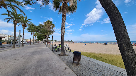
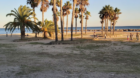
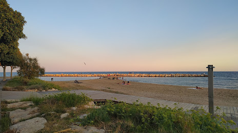
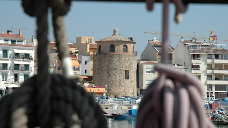
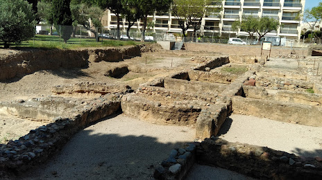
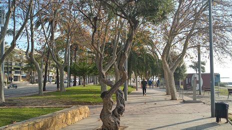
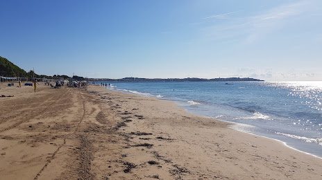
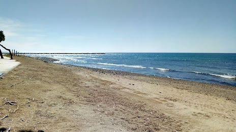
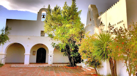
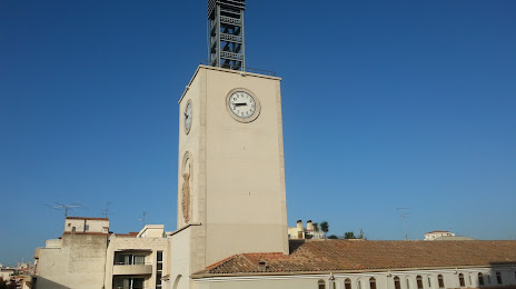
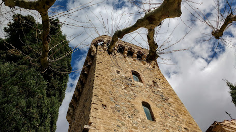
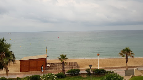
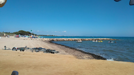
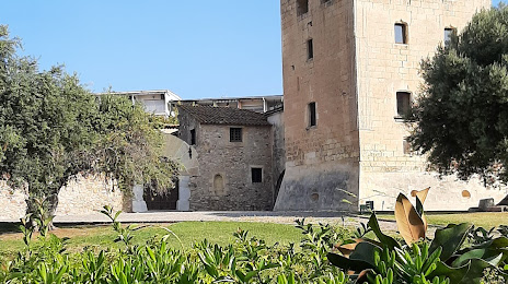
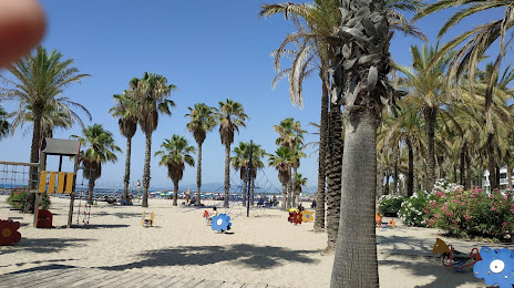
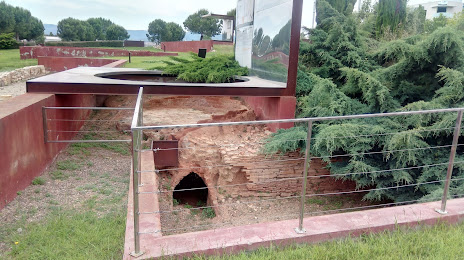
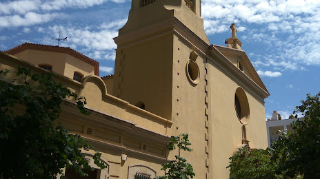
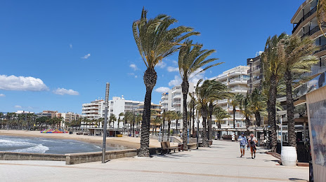
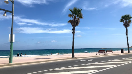
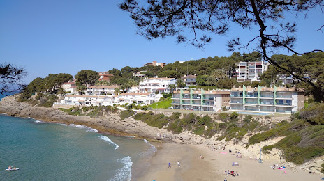
Attractions


Distance to the capital
Distance to the capital (Madrid) is about — 408 km.