Vöcklamarkt — Kleinwinklern
Vöcklamarkt — Kleinbergl
Vöcklamarkt — Altmanns
Vöcklamarkt — Feld am See
Vöcklamarkt — Maitschern
Vöcklamarkt — Unterschoderlee
Vöcklamarkt — Pubersdorf
Vöcklamarkt — Schrattenthal
Vöcklamarkt — Hippach
Vöcklamarkt — Althofen
Vöcklamarkt — Mallon
Vöcklamarkt — Gols
Vöcklamarkt — Frankenmarkt
Vöcklamarkt — Oberau
Vöcklamarkt — Thenneberg
Vöcklamarkt — Bad Kleinkirchheim
Vöcklamarkt — Grän
Vöcklamarkt — Wöllersdorf-Steinabrückl
Vöcklamarkt — Mühlviertel
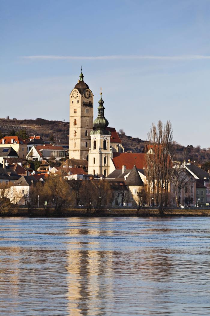
Vöcklamarkt — Krems an der Donau distance, route on the map
Distance by car
Distance between Vöcklamarkt, Upper Austria, Austria and Krems an der Donau, Lower Austria, Austria by car is — km, or miles. To travel this distance by car, you need minute, or h.
Route on the map, driving directions
Car route Vöcklamarkt — Krems an der Donau was created automatically. The road on the map is shown as a blue line. By moving the markers, you can create a new route through the points you need.
Distance by plane
If you decide to take a trip Vöcklamarkt Krems an der Donau by plane, then you have to fly the distance — 164 km or 102 miles. It is marked on the map with a gray line (between two points in a straight line).
Flight time
Estimated flight time Vöcklamarkt Krems an der Donau by plane at cruising speed 750 km / h will be — 13 min.
Direction of movement
Austria, Vöcklamarkt — right-hand traffic. Austria, Krems an der Donau — right-hand traffic.
Difference in time
Vöcklamarkt and Krems an der Donau are in the same time zone. Between them there is no time difference (UTC +2 Europe/Vienna).
Interesting Facts
Information on alternative ways to get to your destination.
The length of this distance is about 0.4% of the total length of the equator.
The percentage of the population is clearly shown in the graph:
Vöcklamarkt — 4,869 (less by 19,063), Krems an der Donau — 23,932 residents.
The cost of travel
Calculate the cost of the trip yourself using the fuel consumption calculator, changing the data in the table.