 Knutsford
Northwich
Rochester
Royal Tunbridge Wells
Sunningdale
Saffron Walden
Dorset
Barmouth
Whitchurch
Beaconsfield
Aberdeen Airport
Colyton
Woolpit
Grimsby
Bangor
Staveley
Porthcurno
Bodelva
Exmouth
Knutsford
Northwich
Rochester
Royal Tunbridge Wells
Sunningdale
Saffron Walden
Dorset
Barmouth
Whitchurch
Beaconsfield
Aberdeen Airport
Colyton
Woolpit
Grimsby
Bangor
Staveley
Porthcurno
Bodelva
Exmouth
Camberley on the map, United Kingdom
Where is located Camberley
Exact location — Camberley, Surrey, England, United Kingdom, marked on the map with a red marker.
Coordinates
Camberley, United Kingdom coordinates in decimal format: latitude — 51.3408554, longitude — -0.7483272. When converted to degrees, minutes, seconds Camberley has the following coordinates: 51°20′27.08 north latitude and -0°44′53.98 east longitude.
Population
Camberley, Surrey, England, United Kingdom, according to our data the population is — 30,155 residents, which is about 0% of the total population of the country (United Kingdom).
Comparison of the population on the graph:
Exact time
Time zone for this location Camberley — UTC +1 Europe/London. Exact time — friday, 4 april 2024 year, 11 h. 09 minutes.
Sunrise and sunset
Camberley, sunrise and sunset data for a date — friday 26.04.2024.
| Sunrise | Sunset | Day (duration) |
|---|---|---|
| 05:47 -2 minutes | 20:13 +1 minute | 14 h. 24 minutes. +3 minutes |
You can control the scale of the map using the auxiliary tools to find out exactly where it is located Camberley. When you change the scale of the map, the width of the ruler also changes (in kilometers and miles).
Nearby cities
The largest cities that are located nearby:
- Reading — 20 km
- Slough — 22 km
- Sutton — 38 km
- Watford — 43 km
- Crawley — 47 km
- Oxford — 57 km
- Portsmouth — 62 km
- Luton — 64 km
- Southampton — 66 km
- Swindon — 75 km
- Basildon — 89 km
- Gillingham — 90 km
- Chelmsford — 94 km
- Eastbourne — 96 km
- Northampton — 100 km
- Southend-on-Sea — 103 km
- Bournemouth — 105 km
- Cheltenham — 110 km
- Cambridge — 112 km
Distance to neighboring capitals:
- Paris
 (France) — 354 km
 - Paris (France) — 354 km
- Brussels
 (Belgium) — 360 km
 - Amsterdam
 (Netherlands) — 404 km
 - Dublin
 (Ireland) — 436 km
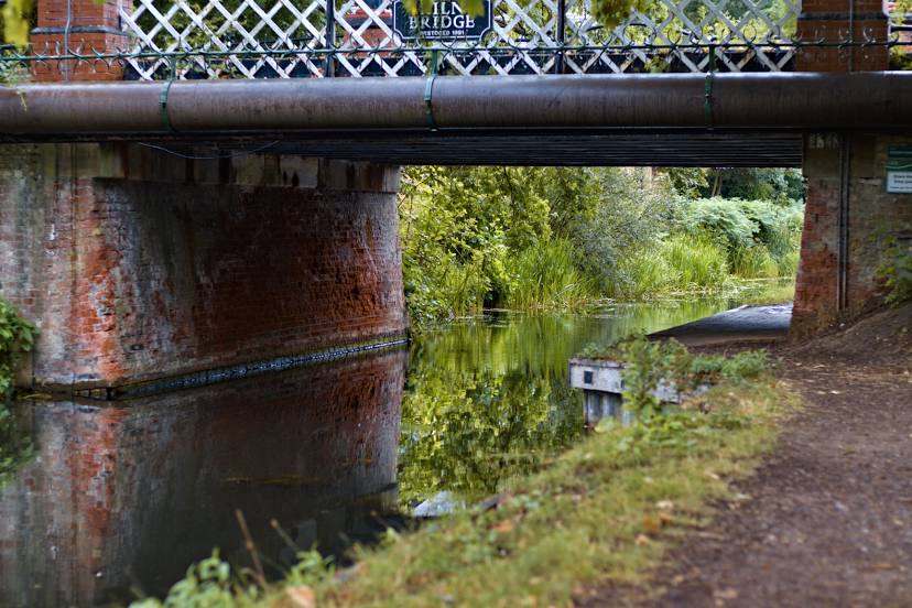
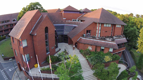
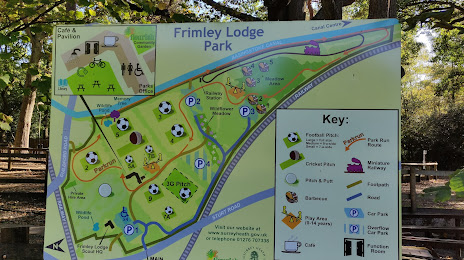
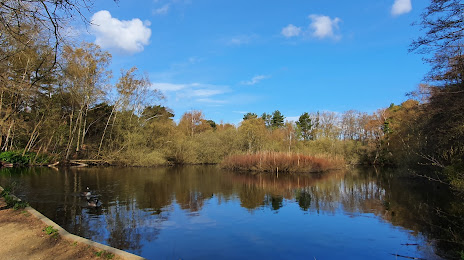
Attractions


Distance to the capital
Distance to the capital (London) is about — 47 km.