Chartham — Wetherby
Chartham — Portadown
Chartham — Slough
Chartham — Pant
Chartham — Bracknell
Chartham — Cumbria
Chartham — Cummertrees
Chartham — Godalming
Chartham — West Tisted
Chartham — Tyrone
Chartham — Stoke by Clare
Chartham — Peterlee
Chartham — Spalding
Chartham — Eglish
Chartham — Burnley
Chartham — Erdington
Chartham — Beenham
Chartham — Strabane
Chartham — Folkestone
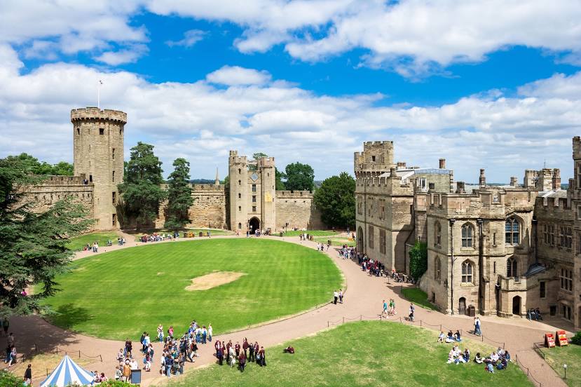
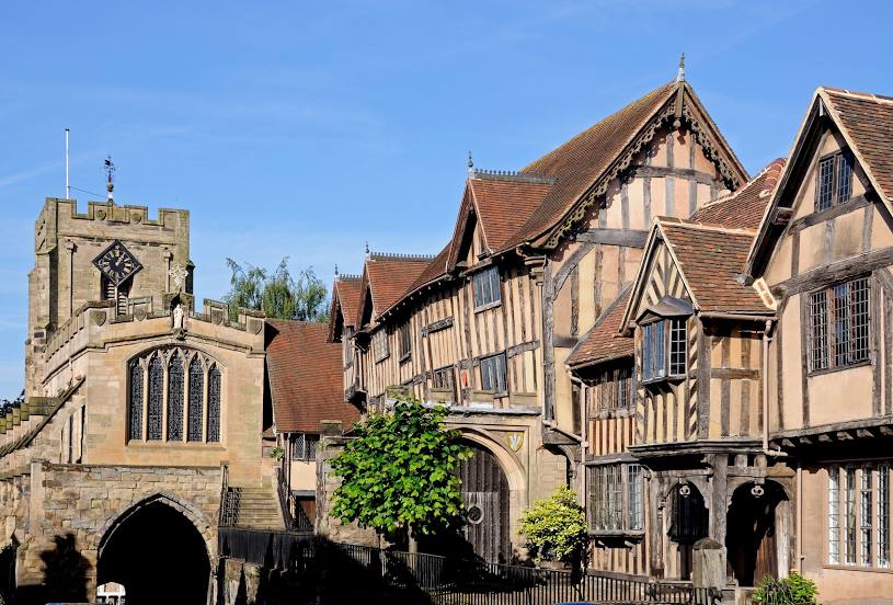
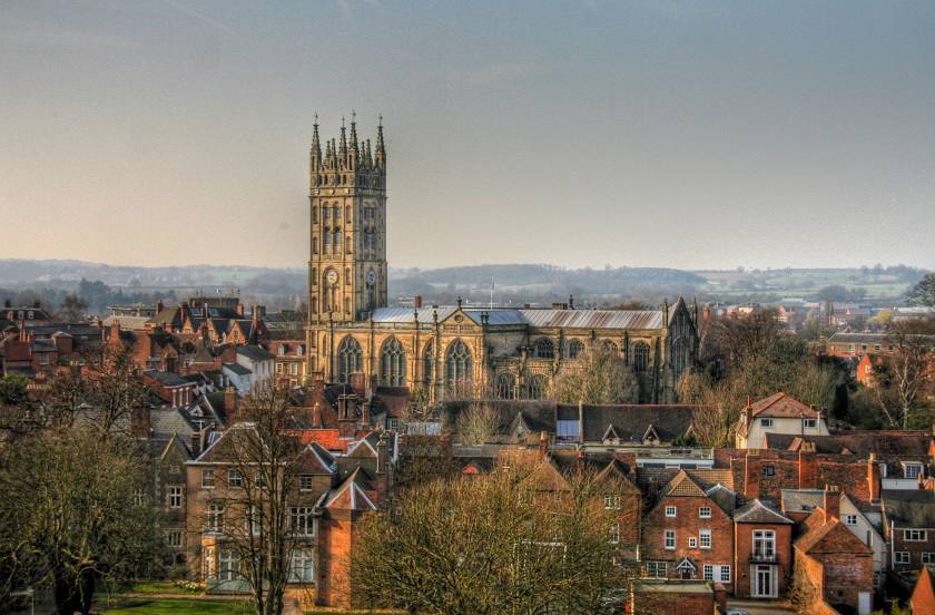
Chartham — Warwick distance, route on the map
Distance by car
Distance between Chartham, England, United Kingdom and Warwick, England, United Kingdom by car is — km, or miles. To travel this distance by car, you need minute, or h.
Route on the map, driving directions
Car route Chartham — Warwick was created automatically. The road on the map is shown as a blue line. By moving the markers, you can create a new route through the points you need.
Distance by plane
If you decide to take a trip Chartham Warwick by plane, then you have to fly the distance — 213 km or 132 miles. It is marked on the map with a gray line (between two points in a straight line).
Flight time
Estimated flight time Chartham Warwick by plane at cruising speed 750 km / h will be — 17 min.
Direction of movement
United Kingdom, Chartham — left-hand traffic. United Kingdom, Warwick — left-hand traffic.
Difference in time
Chartham and Warwick are in the same time zone. Between them there is no time difference (UTC +1 Europe/London).
Interesting Facts
Information on alternative ways to get to your destination.
The length of this distance is about 0.5% of the total length of the equator.
The percentage of the population is clearly shown in the graph:
Chartham — 2,836 (less by 21,204), Warwick — 24,040 residents.
The cost of travel
Calculate the cost of the trip yourself using the fuel consumption calculator, changing the data in the table.