Washington Terrace — Cortland
Washington Terrace — Angela
Washington Terrace — Colleyville
Washington Terrace — Santa Claus
Washington Terrace — Muskogee
Washington Terrace — Renwick
Washington Terrace — Red Bay
Washington Terrace — Eagle County
Washington Terrace — Spickard
Washington Terrace — Brick
Washington Terrace — Hopeton
Washington Terrace — Independence
Washington Terrace — Cissna Park
Washington Terrace — Winger
Washington Terrace — McCook
Washington Terrace — Intervale
Washington Terrace — Magazine
Washington Terrace — Stanfield
Washington Terrace — Leonard
Clearfield
Layton
Kaysville
Centerville
Bountiful
Woods Cross
North Salt Lake
Red Lion-Sheraton Hotel Heliport
Salt Lake City
Salt Lake City
Murray
Salt Lake City
Midvale
South Jordan
Draper
Bluffdale
Lehi
Lehi
American Fork
Lindon
Orem
Provo
Springville
Spanish Fork
Mapleton
Price
Moab
Dove Creek
Cortez
Shiprock
Farmington
Cuba
Bernalillo
Corrales
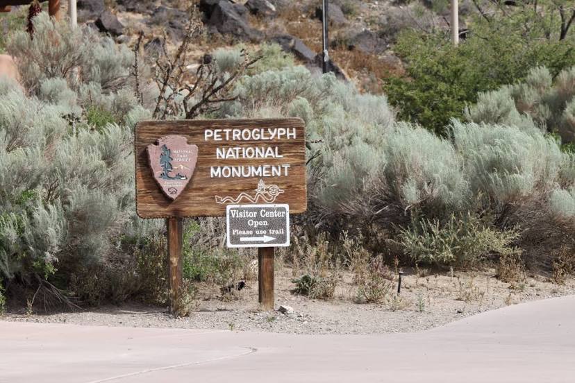
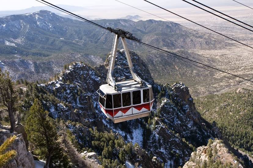
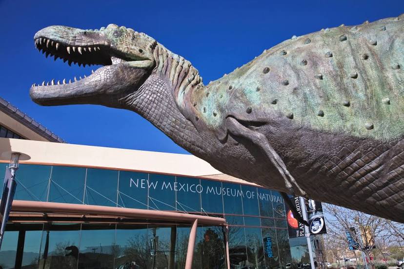
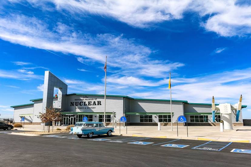
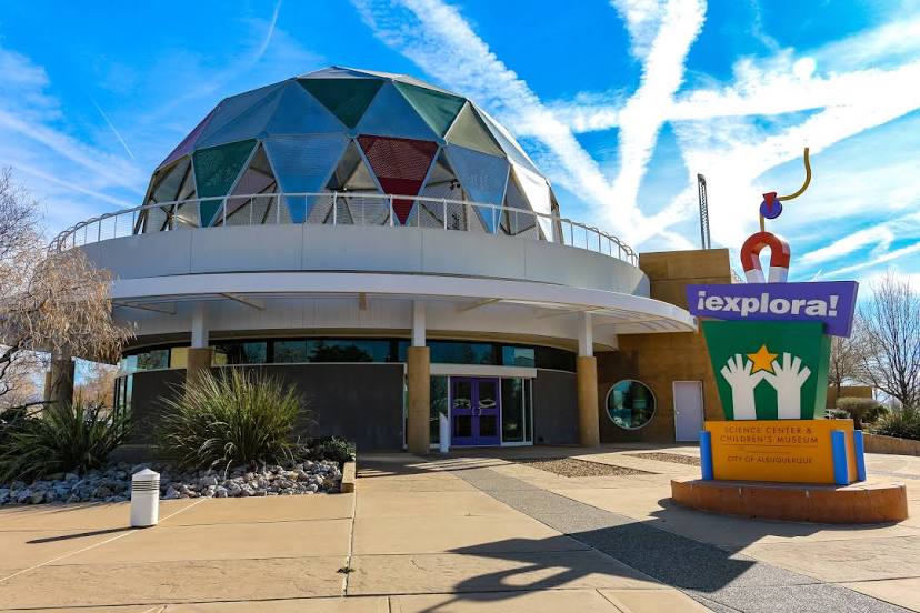
Albuquerque
Washington Terrace — Cortland
Washington Terrace — Angela
Washington Terrace — Colleyville
Washington Terrace — Santa Claus
Washington Terrace — Muskogee
Washington Terrace — Renwick
Washington Terrace — Red Bay
Washington Terrace — Eagle County
Washington Terrace — Spickard
Washington Terrace — Brick
Washington Terrace — Hopeton
Washington Terrace — Independence
Washington Terrace — Cissna Park
Washington Terrace — Winger
Washington Terrace — McCook
Washington Terrace — Intervale
Washington Terrace — Magazine
Washington Terrace — Stanfield
Washington Terrace — Leonard
Clearfield
Layton
Kaysville
Centerville
Bountiful
Woods Cross
North Salt Lake
Red Lion-Sheraton Hotel Heliport
Salt Lake City
Salt Lake City
Murray
Salt Lake City
Midvale
South Jordan
Draper
Bluffdale
Lehi
Lehi
American Fork
Lindon
Orem
Provo
Springville
Spanish Fork
Mapleton
Price
Moab
Dove Creek
Cortez
Shiprock
Farmington
Cuba
Bernalillo
Corrales
Albuquerque
Washington Terrace — Albuquerque distance, route on the map
Distance by car
Distance between Washington Terrace, Utah, United States and Albuquerque, New Mexico, United States by car is — km, or miles. To travel this distance by car, you need minute, or h.
Route on the map, driving directions
Car route Washington Terrace — Albuquerque was created automatically. The road on the map is shown as a blue line. By moving the markers, you can create a new route through the points you need.
Passing cities through which the car route passes: Riverdale, Clearfield, Layton, Kaysville, Centerville, Bountiful, Woods Cross, North Salt Lake, Red Lion-Sheraton Hotel Heliport, Salt Lake City, Salt Lake City, Murray, Salt Lake City, Midvale, South Jordan, Draper, Bluffdale, Lehi, Lehi, American Fork, Lindon, Orem, Provo, Springville, Spanish Fork, Mapleton, Price, Moab, Dove Creek, Cortez, Shiprock, Farmington, Cuba, Bernalillo, Corrales, Albuquerque.
Distance by plane
If you decide to take a trip Washington Terrace Albuquerque by plane, then you have to fly the distance — 825 km or 512 miles. It is marked on the map with a gray line (between two points in a straight line).
Flight time
Estimated flight time Washington Terrace Albuquerque by plane at cruising speed 750 km / h will be — 1 h. and 6 min.
Direction of movement
United States, Washington Terrace — right-hand traffic. United States, Albuquerque — right-hand traffic.
Difference in time
Washington Terrace and Albuquerque are in the same time zone. Between them there is no time difference (UTC -6 America/Denver).
Interesting Facts
Information on alternative ways to get to your destination.
The length of this distance is about 2.1% of the total length of the equator.
The cost of travel
Calculate the cost of the trip yourself using the fuel consumption calculator, changing the data in the table.