 Merstham
North Tawton
Beaminster
Alva
Winchelsea
Kingsmead
Barnstaple
Collieston
Morar
Rugby
Cholsey
Eversley
Minera
Havant
Antrim
Leece
Newburgh
Lyneham
Manchester
Merstham
North Tawton
Beaminster
Alva
Winchelsea
Kingsmead
Barnstaple
Collieston
Morar
Rugby
Cholsey
Eversley
Minera
Havant
Antrim
Leece
Newburgh
Lyneham
Manchester
Kempston on the map, United Kingdom
Where is located Kempston
Exact location — Kempston, Bedford, England, United Kingdom, marked on the map with a red marker.
Coordinates
Kempston, United Kingdom coordinates in decimal format: latitude — 52.1179148, longitude — -0.4967915. When converted to degrees, minutes, seconds Kempston has the following coordinates: 52°7′4.49 north latitude and -0°29′48.45 east longitude.
Population
Kempston, Bedford, England, United Kingdom, according to our data the population is — 19,873 residents, which is about 0% of the total population of the country (United Kingdom).
Comparison of the population on the graph:
Exact time
Time zone for this location Kempston — UTC +1 Europe/London. Exact time — friday, 4 april 2024 year, 04 h. 27 minutes.
Sunrise and sunset
Kempston, sunrise and sunset data for a date — friday 26.04.2024.
| Sunrise | Sunset | Day (duration) |
|---|---|---|
| 05:44 -2 minutes | 20:15 +2 minutes | 14 h. 30 minutes. +4 minutes |
You can control the scale of the map using the auxiliary tools to find out exactly where it is located Kempston. When you change the scale of the map, the width of the ruler also changes (in kilometers and miles).
Nearby cities
The largest cities that are located nearby:
- Luton — 27 km
- Northampton — 31 km
- Cambridge — 43 km
- Watford — 52 km
- Oxford — 66 km
- Slough — 67 km
- Leicester — 72 km
- Coventry — 76 km
- Chelmsford — 78 km
- Reading — 81 km
- Sutton — 86 km
- Basildon — 90 km
- Sutton Coldfield — 102 km
- Birmingham — 102 km
- Southend-on-Sea — 104 km
- Swindon — 108 km
- Gillingham — 109 km
- West Bromwich — 110 km
- Cheltenham — 111 km
Distance to neighboring capitals:
- Brussels
 (Belgium) — 364 km
 - Amsterdam
 (Netherlands) — 368 km
 - Dublin
 (Ireland) — 412 km
 - Paris
 (France) — 415 km
 - Paris (France) — 415 km
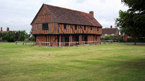
Attractions


Distance to the capital
Distance to the capital (London) is about — 72 km.