 Silverstone
Washington
Chorley
Kempston
Holywood
Stansted Mountfitchet
Ellon
Spean Bridge
Keele
Bicester
King's Lynn
Wellingborough
Lichfield
Sittingbourne
Akrotiri and Dhekelia
Fawley
East Sussex
Herne Bay
Bridgwater
Silverstone
Washington
Chorley
Kempston
Holywood
Stansted Mountfitchet
Ellon
Spean Bridge
Keele
Bicester
King's Lynn
Wellingborough
Lichfield
Sittingbourne
Akrotiri and Dhekelia
Fawley
East Sussex
Herne Bay
Bridgwater
Havant on the map, United Kingdom
Where is located Havant
Exact location — Havant, Hampshire, England, United Kingdom, marked on the map with a red marker.
Coordinates
Havant, United Kingdom coordinates in decimal format: latitude — 50.8518324, longitude — -0.9847132. When converted to degrees, minutes, seconds Havant has the following coordinates: 50°51′6.6 north latitude and -0°59′4.97 east longitude.
Population
Havant, Hampshire, England, United Kingdom, according to our data the population is — 45,574 residents, which is about 0.1% of the total population of the country (United Kingdom).
Comparison of the population on the graph:
Exact time
Time zone for this location Havant — UTC +1 Europe/London. Exact time — friday, 4 april 2024 year, 13 h. 44 minutes.
Sunrise and sunset
Havant, sunrise and sunset data for a date — friday 26.04.2024.
| Sunrise | Sunset | Day (duration) |
|---|---|---|
| 05:49 -2 minutes | 20:13 +2 minutes | 14 h. 24 minutes. +4 minutes |
You can control the scale of the map using the auxiliary tools to find out exactly where it is located Havant. When you change the scale of the map, the width of the ruler also changes (in kilometers and miles).
Nearby cities
The largest cities that are located nearby:
- Portsmouth — 8 km
- Southampton — 30 km
- Crawley — 62 km
- Bournemouth — 64 km
- Reading — 67 km
- Slough — 78 km
- Sutton — 78 km
- Eastbourne — 90 km
- Swindon — 95 km
- Watford — 98 km
- Oxford — 101 km
- Luton — 120 km
- Gillingham — 121 km
- Bristol — 129 km
- Basildon — 129 km
- Cheltenham — 138 km
- Southend-on-Sea — 139 km
- Chelmsford — 139 km
- Northampton — 154 km
Distance to neighboring capitals:
- Paris
 (France) — 326 km
 - Paris (France) — 326 km
- Brussels
 (Belgium) — 375 km
 - Amsterdam
 (Netherlands) — 440 km
 - Dublin
 (Ireland) — 455 km
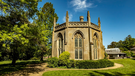
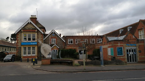
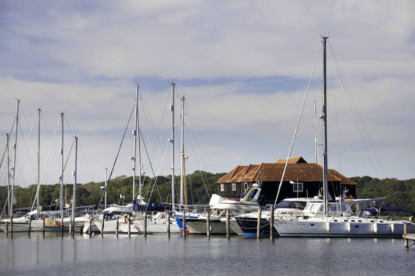
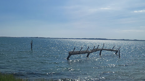
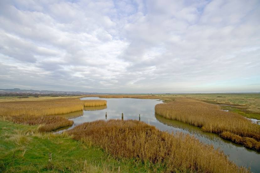
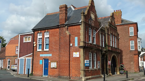
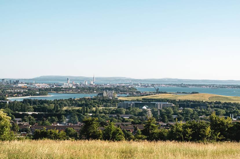
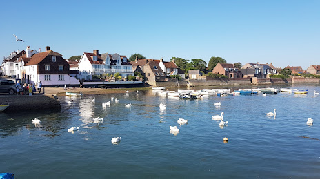
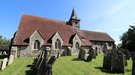
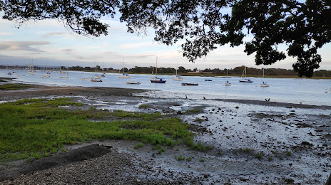
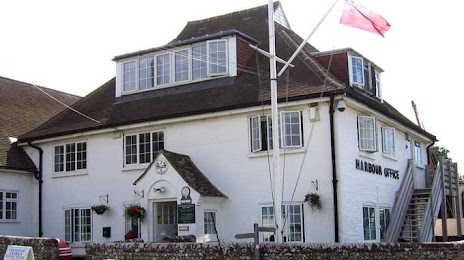
Attractions


Distance to the capital
Distance to the capital (London) is about — 94 km.