Warzée — Haacht
Warzée — Anderlecht
Warzée — Ophoven
Warzée — Saint-Remy-Geest
Warzée — Les Avins
Warzée — Oppagne
Warzée — Achouffe
Warzée — Aubechies
Warzée — Opheylissem Castle
Warzée — Chaumont-Gistoux
Warzée — Wavre
Warzée — Waulsort
Warzée — Profondeville
Warzée — Nivelles
Warzée — Ham-sur-Heure-Nalinnes
Warzée — Mochamps
Warzée — Herve
Warzée — Lillois-Witterzée
Warzée — Bernîmont
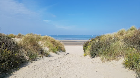
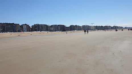
Warzée — Koksijde distance, route on the map
Distance by car
Distance between Warzée, Wallonie, Belgium and Koksijde, Flanders, Belgium by car is — km, or miles. To travel this distance by car, you need minute, or h.
Route on the map, driving directions
Car route Warzée — Koksijde was created automatically. The road on the map is shown as a blue line. By moving the markers, you can create a new route through the points you need.
Distance by plane
If you decide to take a trip Warzée Koksijde by plane, then you have to fly the distance — 209 km or 130 miles. It is marked on the map with a gray line (between two points in a straight line).
Flight time
Estimated flight time Warzée Koksijde by plane at cruising speed 750 km / h will be — 16 min.
Direction of movement
Belgium, Warzée — right-hand traffic. Belgium, Koksijde — right-hand traffic.
Difference in time
Warzée and Koksijde are in the same time zone. Between them there is no time difference (UTC +2 Europe/Brussels).
Interesting Facts
Information on alternative ways to get to your destination.
The length of this distance is about 0.5% of the total length of the equator.
The cost of travel
Calculate the cost of the trip yourself using the fuel consumption calculator, changing the data in the table.