 Bosoughan
Willand
Sevenoaks
Aveley
Kirknewton
Port Isaac
Loughton
Liverpool John Lennon Airport
Canvey Island
Sunninghill
Chigwell
Kingsbridge
Braintree
Ashby-de-la-Zouch
Congleton
Liphook
Eyam
Beckenham
Castleford
Bosoughan
Willand
Sevenoaks
Aveley
Kirknewton
Port Isaac
Loughton
Liverpool John Lennon Airport
Canvey Island
Sunninghill
Chigwell
Kingsbridge
Braintree
Ashby-de-la-Zouch
Congleton
Liphook
Eyam
Beckenham
Castleford
Larne on the map, United Kingdom
Where is located Larne
Exact location — Larne, Larne, Northern Ireland, United Kingdom, marked on the map with a red marker.
Coordinates
Larne, United Kingdom coordinates in decimal format: latitude — 54.8578003, longitude — -5.8236224. When converted to degrees, minutes, seconds Larne has the following coordinates: 54°51′28.08 north latitude and -5°49′25.04 east longitude.
Population
Larne, Larne, Northern Ireland, United Kingdom, according to our data the population is — 18,421 residents, which is about 0% of the total population of the country (United Kingdom).
Comparison of the population on the graph:
Exact time
Time zone for this location Larne — UTC +1 Europe/London. Exact time — friday, 4 april 2024 year, 18 h. 44 minutes.
Sunrise and sunset
Larne, sunrise and sunset data for a date — friday 26.04.2024.
| Sunrise | Sunset | Day (duration) |
|---|---|---|
| 05:57 -2 minutes | 20:44 +2 minutes | 14 h. 48 minutes. +4 minutes |
You can control the scale of the map using the auxiliary tools to find out exactly where it is located Larne. When you change the scale of the map, the width of the ruler also changes (in kilometers and miles).
Nearby cities
The largest cities that are located nearby:
- Belfast — 30 km
- Glasgow — 148 km
- Dublin
 (Ireland) — 169 km
 - Edinburgh — 203 km
- Preston — 237 km
- Liverpool — 246 km
- Blackburn — 250 km
- Manchester — 281 km
- Sunderland — 282 km
- Huddersfield — 297 km
- Stoke-on-Trent — 318 km
- Sheffield — 330 km
- Telford — 331 km
- Rotherham — 333 km
- Dudley — 361 km
- West Bromwich — 365 km
- Sutton Coldfield — 369 km
- Birmingham — 373 km
- Cork (Ireland) — 374 km
Distance to neighboring capitals:
- Dublin (Ireland) — 170 km
- Amsterdam
 (Netherlands) — 758 km
 - Brussels
 (Belgium) — 815 km
 - Paris
 (France) — 871 km
 - Paris (France) — 871 km
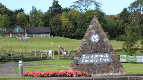
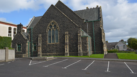
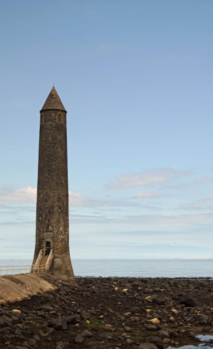
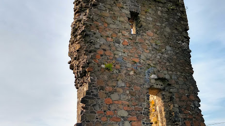
Attractions


Distance to the capital
Distance to the capital (London) is about — 532 km.