Leuven — Vodelée
Leuven — Courcelles
Leuven — Bokrijk
Leuven — Watermael-Boitsfort
Leuven — Richelle
Leuven — Bîron
Leuven — Doiceau
Leuven — Blehen
Leuven — Vodecée
Leuven — Bellaire
Leuven — Saint Nicolas
Leuven — Outrelouxhe
Leuven — Porcheresse
Leuven — Jemeppe
Leuven — Boscailles
Leuven — Rumbeke
Leuven — Boortmeerbeek
Leuven — Wevelgem
Leuven — Bomal
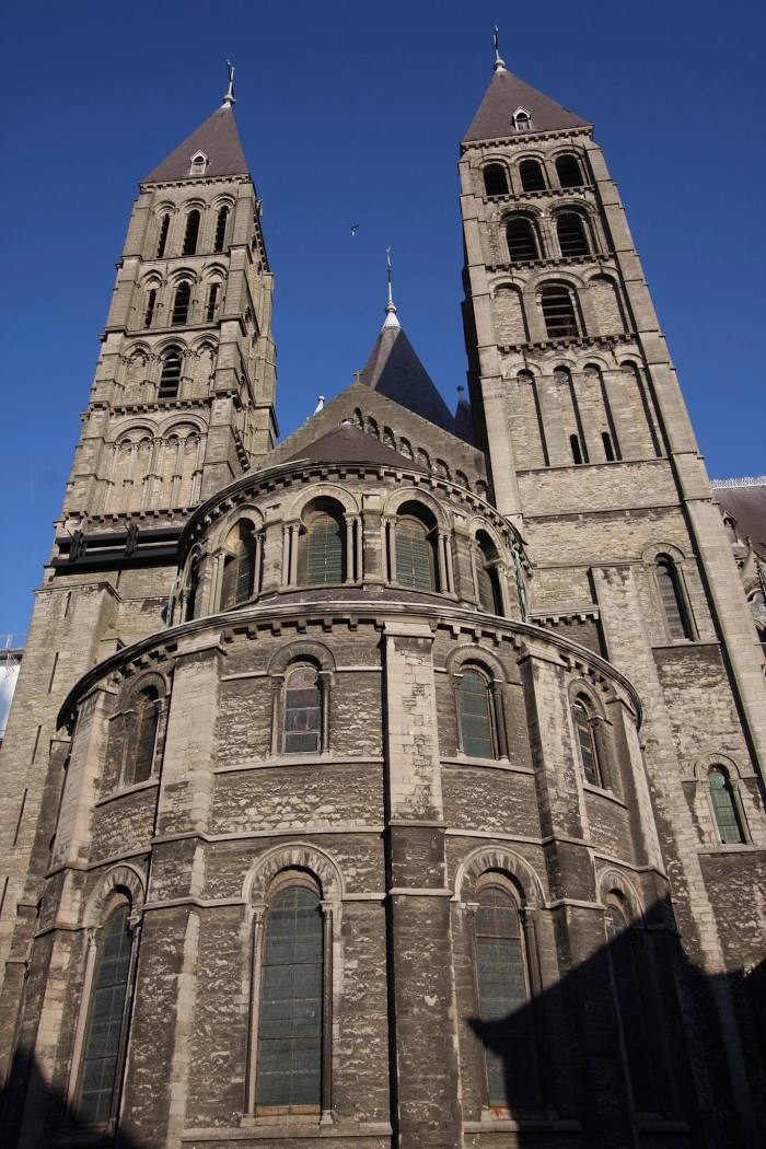
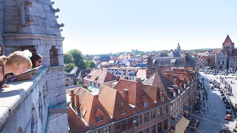
Leuven — Tournai distance, route on the map
Distance by car
Distance between Leuven, Flanders, Belgium and Tournai, Walloon Region, Belgium by car is — km, or miles. To travel this distance by car, you need minute, or h.
Route on the map, driving directions
Car route Leuven — Tournai was created automatically. The road on the map is shown as a blue line. By moving the markers, you can create a new route through the points you need.
Distance by plane
If you decide to take a trip Leuven Tournai by plane, then you have to fly the distance — 97 km or 60 miles. It is marked on the map with a gray line (between two points in a straight line).
Flight time
Estimated flight time Leuven Tournai by plane at cruising speed 750 km / h will be — 7 min.
Direction of movement
Belgium, Leuven — right-hand traffic. Belgium, Tournai — right-hand traffic.
Difference in time
Leuven and Tournai are in the same time zone. Between them there is no time difference (UTC +2 Europe/Brussels).
Interesting Facts
Information on alternative ways to get to your destination.
The length of this distance is about 0.2% of the total length of the equator.
The percentage of the population is clearly shown in the graph:
Leuven — 92,892, Tournai — 67,720 residents (less by 25,172).
The cost of travel
Calculate the cost of the trip yourself using the fuel consumption calculator, changing the data in the table.