Park City — Cannon Falls
Park City — Center
Park City — Van Lear
Park City — Orange County
Park City — New Baden
Park City — Town of Lisbon
Park City — Hardin
Park City — Hingham
Park City — New Hampton
Park City — Runnells
Park City — Rock Port
Park City — Pattonsburg
Park City — Sidnaw
Park City — Villa Park
Park City — Williamstown
Park City — Inkster
Park City — Los Alamitos
Park City — Winburne
Park City — Branchport
Fort Bridger
Lyman
Rock Springs
Rawlins
Casper
Midwest
Gillette
Rozet
Moorcroft
Schloredt Airport
Spearfish
Belle Fourche
Redig
Belfield
Dickinson
Richardton
Glen Ullin
Judson
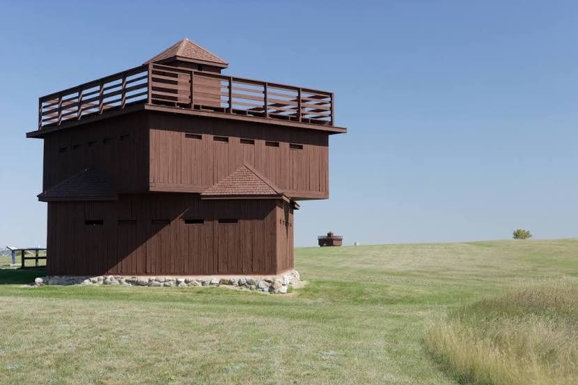
Mandan
Park City — Cannon Falls
Park City — Center
Park City — Van Lear
Park City — Orange County
Park City — New Baden
Park City — Town of Lisbon
Park City — Hardin
Park City — Hingham
Park City — New Hampton
Park City — Runnells
Park City — Rock Port
Park City — Pattonsburg
Park City — Sidnaw
Park City — Villa Park
Park City — Williamstown
Park City — Inkster
Park City — Los Alamitos
Park City — Winburne
Park City — Branchport
Fort Bridger
Lyman
Rock Springs
Rawlins
Casper
Midwest
Gillette
Rozet
Moorcroft
Schloredt Airport
Spearfish
Belle Fourche
Redig
Belfield
Dickinson
Richardton
Glen Ullin
Judson
Mandan
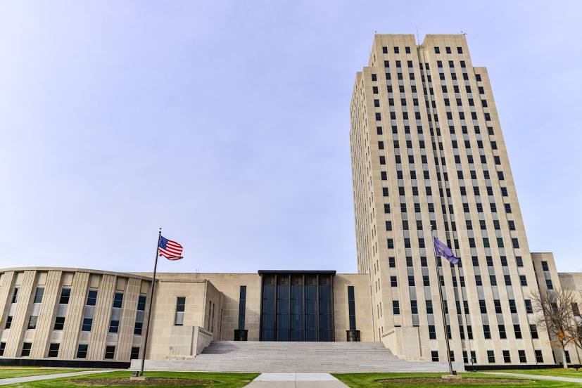
Park City — Bismarck distance, route on the map
Distance by car
Distance between Park City, Utah, United States and Bismarck, North Dakota, United States by car is — km, or miles. To travel this distance by car, you need minute, or h.
Route on the map, driving directions
Car route Park City — Bismarck was created automatically. The road on the map is shown as a blue line. By moving the markers, you can create a new route through the points you need.
Passing cities through which the car route passes: Coalville, Fort Bridger, Lyman, Rock Springs, Rawlins, Casper, Midwest, Gillette, Rozet, Moorcroft, Schloredt Airport, Spearfish, Belle Fourche, Redig, Belfield, Dickinson, Richardton, Glen Ullin, Judson, Mandan.
Distance by plane
If you decide to take a trip Park City Bismarck by plane, then you have to fly the distance — 1096 km or 680 miles. It is marked on the map with a gray line (between two points in a straight line).
Flight time
Estimated flight time Park City Bismarck by plane at cruising speed 750 km / h will be — 1 h. and 27 min.
Direction of movement
United States, Park City — right-hand traffic. United States, Bismarck — right-hand traffic.
Difference in time
Park City and Bismarck are in different time zones. The time difference is 1 hour (UTC -6 America/Denver, UTC -5 America/Chicago).
Interesting Facts
Information on alternative ways to get to your destination.
The length of this distance is about 2.7% of the total length of the equator.
The percentage of the population is clearly shown in the graph:
Park City — 7,558 (less by 49,148), Bismarck — 56,706 residents.
The cost of travel
Calculate the cost of the trip yourself using the fuel consumption calculator, changing the data in the table.