
 Selkirk
Olds
Chilliwack
Elora
Sainte-Foy
Lawrencetown
Lennoxville
Prince George
Port Moody
Oshawa
Whitby
York
Saint-Laurent
Côte Saint-Luc
Saint-Leonard
Westmount
Bala
McGregor
Richmond
Selkirk
Olds
Chilliwack
Elora
Sainte-Foy
Lawrencetown
Lennoxville
Prince George
Port Moody
Oshawa
Whitby
York
Saint-Laurent
Côte Saint-Luc
Saint-Leonard
Westmount
Bala
McGregor
Richmond
Maple Ridge on the map, Canada
Where is located Maple Ridge
Exact location — Maple Ridge, Greater Vancouver, British Columbia, Canada, marked on the map with a red marker.
Coordinates
Maple Ridge, Canada coordinates in decimal format: latitude — 49.2193226, longitude — -122.598398. When converted to degrees, minutes, seconds Maple Ridge has the following coordinates: 49°13′9.56 north latitude and -122°35′54.23 east longitude.
Population
Maple Ridge, Greater Vancouver, British Columbia, Canada, according to our data the population is — 70,000 residents, which is about 0.2% of the total population of the country (Canada).
Comparison of the population on the graph:
Exact time
Time zone for this location Maple Ridge — UTC -7 America/Vancouver. Exact time — thursday, 6 june 2024 year, 08 h. 08 minutes.
Sunrise and sunset
Maple Ridge, sunrise and sunset data for a date — thursday 27.06.2024.
| Sunrise | Sunset | Day (duration) |
|---|---|---|
| 05:12 +1 minute | 21:15 -0 minutes | 16 h. 6 minutes. -1 minute |
You can control the scale of the map using the auxiliary tools to find out exactly where it is located Maple Ridge. When you change the scale of the map, the width of the ruler also changes (in kilometers and miles).
Nearby cities
The largest cities that are located nearby:
- Coquitlam — 16 km
- Surrey — 19 km
- Anmore — 21 km
- Abbotsford — 27 km
- Burnaby — 27 km
- Delta — 34 km
- Vancouver — 38 km
- Richmond — 39 km
- Victoria — 104 km
- Seattle
 (United States) — 179 km
 - Bellevue (United States) — 180 km
- Tacoma (United States) — 218 km
- Kelowna — 233 km
- Portland (United States) — 409 km
- Spokane (United States) — 422 km
- Salem (United States) — 474 km
- Eugene (United States) — 573 km
- Calgary — 626 km
- Edmonton — 766 km
Distance to neighboring capitals:
- Washington (United States) — 3754 km
- Mexico City
 (Mexico) — 3917 km
 - Nuuk
 (Greenland) — 4361 km
 - Saint John
 (Puerto Rico) — 6053 km
 - Belgrade
 (Serbia) — 8967 km
 - Hagåtña
 (Guam) — 9070 km
 - Podgorica
 (Montenegro) — 9167 km
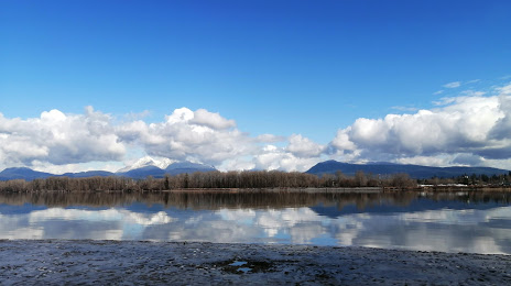
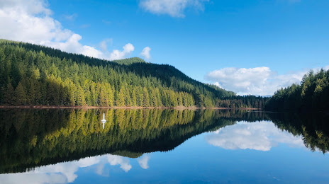
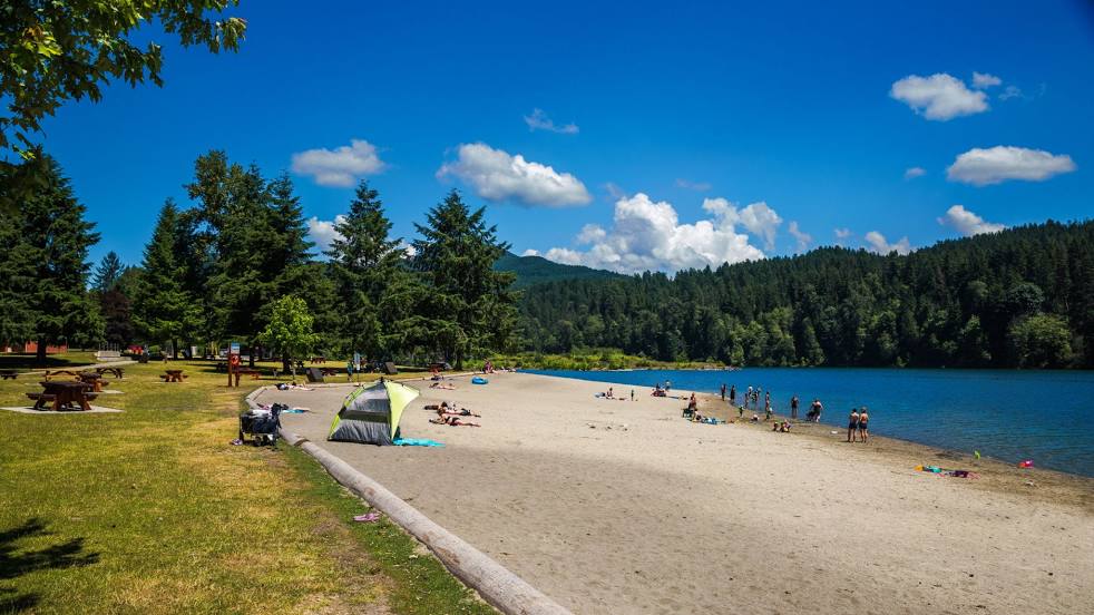
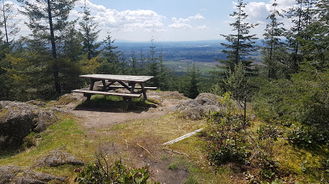
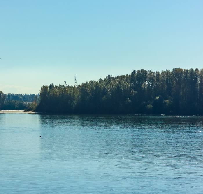
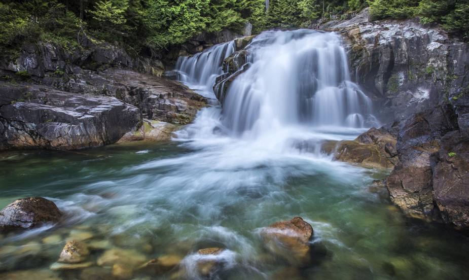
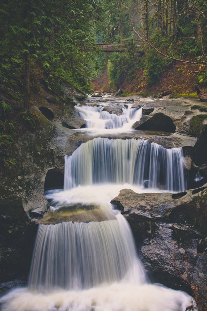
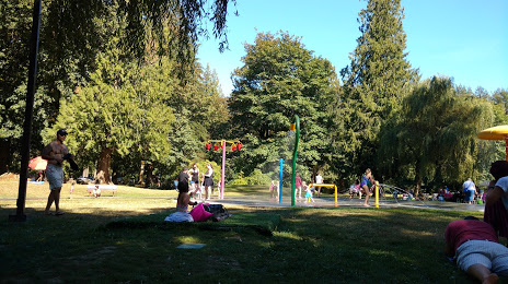
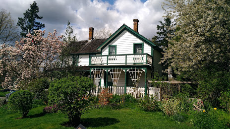
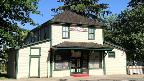
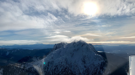
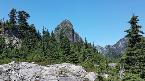
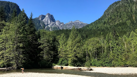
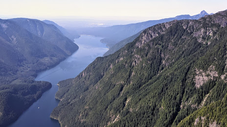
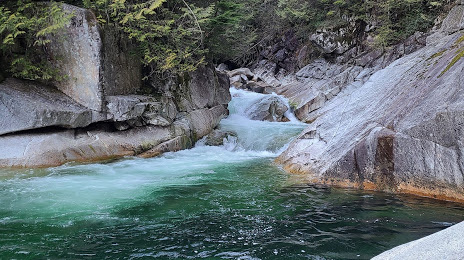
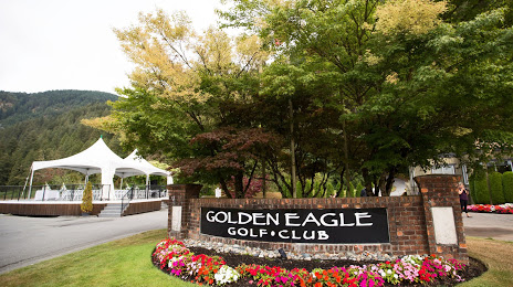
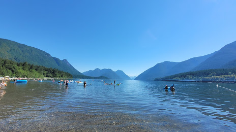
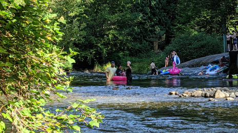
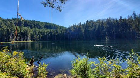
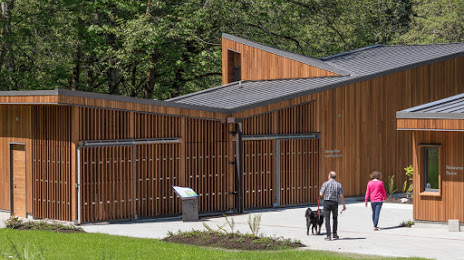
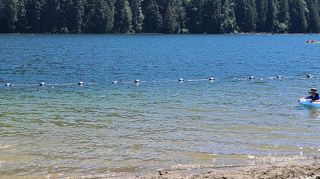
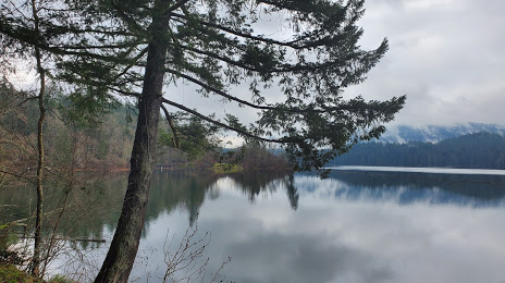
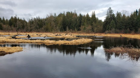
Attractions


Distance to the capital
Distance to the capital (Ottawa) is about — 3504 km.