
 Altenmarkt bei Sankt Gallen
Gunskirchen
Innsbruck
Stockerau
Bad Ischl
Strassen
Ulmerfeld
Kirchdorf in Tirol
Zeltweg
Linz
Salzburg
Althofen
Wels
Untersiebenbrunn
Neustadt
Weiz
Mauthausen
Baden bei Wien
Ansfelden
Altenmarkt bei Sankt Gallen
Gunskirchen
Innsbruck
Stockerau
Bad Ischl
Strassen
Ulmerfeld
Kirchdorf in Tirol
Zeltweg
Linz
Salzburg
Althofen
Wels
Untersiebenbrunn
Neustadt
Weiz
Mauthausen
Baden bei Wien
Ansfelden
Steyr on the map, Austria
Where is located Steyr
Exact location — Steyr, Steyr, Upper Austria, Austria, marked on the map with a red marker.
Coordinates
Steyr, Austria coordinates in decimal format: latitude — 48.05009, longitude — 14.41827. When converted to degrees, minutes, seconds Steyr has the following coordinates: 48°3′0.32 north latitude and 14°25′5.77 east longitude.
Population
Steyr, Steyr, Upper Austria, Austria, according to our data the population is — 39,567 residents, which is about 0.4% of the total population of the country (Austria).
Comparison of the population on the graph:
Exact time
Time zone for this location Steyr — UTC +2 Europe/Vienna. Exact time — friday, 5 may 2024 year, 19 h. 19 minutes.
Sunrise and sunset
Steyr, sunrise and sunset data for a date — friday 10.05.2024.
| Sunrise | Sunset | Day (duration) |
|---|---|---|
| 05:33 -1 minute | 20:24 +2 minutes | 14 h. 54 minutes. +3 minutes |
You can control the scale of the map using the auxiliary tools to find out exactly where it is located Steyr. When you change the scale of the map, the width of the ruler also changes (in kilometers and miles).
Nearby cities
The largest cities that are located nearby:
- Linz — 30 km
- Salzburg — 105 km
- Graz — 133 km
- Bratislava
 (Slovakia) — 199 km
 - Regensburg
 (Germany) — 199 km
 - Pilsen
 (Czech Republic) — 201 km
 - Brno (Czech Republic) — 203 km
- Munich (Germany) — 210 km
- Ljubljana
 (Slovenia) — 220 km
 - Prague (Czech Republic) — 224 km
- Ingolstadt (Germany) — 232 km
- Innsbruck — 242 km
- Győr
 (Hungary) — 244 km
 - Augsburg (Germany) — 261 km
- Olomouc (Czech Republic) — 265 km
- Trieste
 (Italy) — 270 km
 - Zagreb
 (Croatia) — 275 km
 - Nuremberg (Germany) — 286 km
- Fürth (Germany) — 293 km
Distance to neighboring capitals:
- Bratislava (Slovakia) — 200 km
- Ljubljana (Slovenia) — 222 km
- Prague (Czech Republic) — 225 km
- Zagreb (Croatia) — 275 km
- Budapest (Hungary) — 351 km
- Vaduz
 (Liechtenstein) — 381 km
 - Berlin (Germany) — 502 km
- Bern
 (Switzerland) — 538 km
 - Belgrade
 (Serbia) — 588 km
 - Warsaw
 (Poland) — 661 km
 - Rome (Italy) — 700 km
- Amsterdam
 (Netherlands) — 830 km
 - Copenhagen
 (Denmark) — 858 km
 - Paris
 (France) — 894 km
 - Bucharest
 (Romania) — 984 km
 - Kyiv
 (Ukraine) — 1197 km
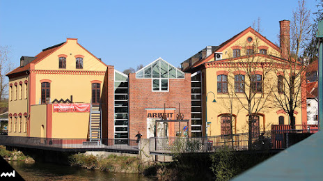
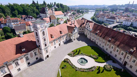
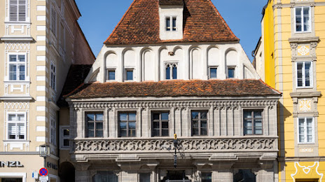
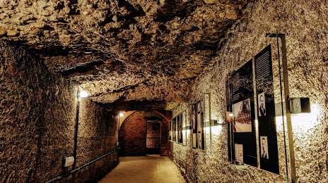
Attractions


Distance to the capital
Distance to the capital (Vienna) is about — 146 km.