
 Staden
Geest-Gerompont-Petit-Rosière
Grote Hut
Sint-Job-in-'t-Goor
Deidenberg
De Pinte
Pussemange
Peruwelz
Barrière de Champlon
Staden
Geest-Gerompont-Petit-Rosière
Grote Hut
Sint-Job-in-'t-Goor
Deidenberg
De Pinte
Pussemange
Peruwelz
Barrière de Champlon
Ô Bar'Hik on the map, Mons, Belgium
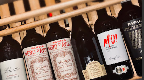
Photo
Where is located Ô Bar'Hik
Ô Bar'Hik — local attraction, which is located at Rue de la Clef 8, 7000 Mons, Belgium and belongs to the category — $$. Average visitor rating for this place — 4.4 (according to 120 ratings, information from open sources and relevant for 2022).
Exact location — Ô Bar'Hik, marked on the map with a red marker.
You can get directions to Ô Bar'Hik on the map from your location.
What else is interesting in Mons? You can see all the sights if you go to the city page.
Coordinates
Ô Bar'Hik, Belgium coordinates in decimal format: latitude — 50.453536661869826, longitude — 3.9523743079656986. When converted to degrees, minutes, seconds Ô Bar'Hik has the following coordinates: 50°27′12.73 north latitude and 3°57′8.55 east longitude.
Nearby cities
The largest cities that are located nearby:
- Charleroi — 35 km
- Namur — 64 km
- Lille
 (France) — 66 km
 - Antwerp — 90 km
- Liège — 116 km
- Maastricht
 (Netherlands) — 129 km
 - Reims (France) — 132 km
- Amiens (France) — 134 km
- Breda (Netherlands) — 137 km
- Tilburg (Netherlands) — 145 km
- Eindhoven (Netherlands) — 151 km
- Aachen
 (Germany) — 153 km
 - Dordrecht (Netherlands) — 158 km
- 's-Hertogenbosch (Netherlands) — 166 km
- Rotterdam (Netherlands) — 166 km
- The Hague (Netherlands) — 180 km
- Zoetermeer (Netherlands) — 181 km
- Mönchengladbach (Germany) — 190 km
- Leiden (Netherlands) — 192 km
Distance to the capital
Distance to the capital (Brussels) is about — 52 km.